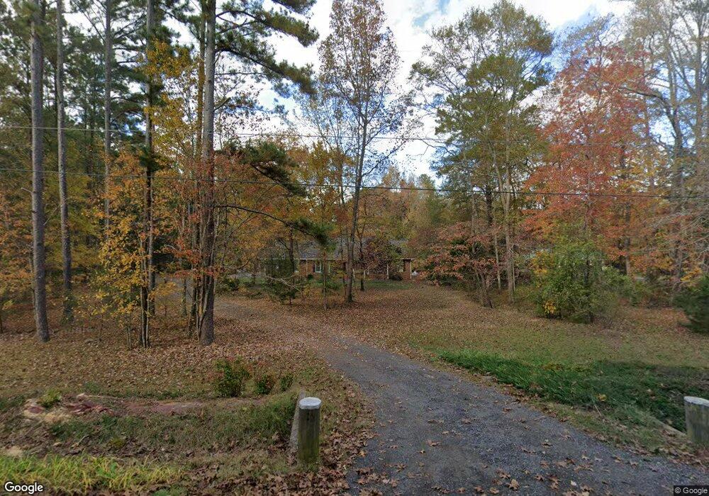
202 Thompson Rd Tyrone, GA 30290
Estimated Value: $318,000 - $393,232
Studio
--
Bath
1,795
Sq Ft
$201/Sq Ft
Est. Value
About This Home
This home is located at 202 Thompson Rd, Tyrone, GA 30290 and is currently estimated at $360,808, approximately $201 per square foot. 202 Thompson Rd is a home located in Fayette County with nearby schools including Robert J. Burch Elementary School, Flat Rock Middle School, and Sandy Creek High School.
Ownership History
Date
Name
Owned For
Owner Type
Purchase Details
Closed on
Apr 16, 2008
Sold by
Burke George R
Bought by
Burke Georger R and Burke Deloris C
Current Estimated Value
Home Financials for this Owner
Home Financials are based on the most recent Mortgage that was taken out on this home.
Original Mortgage
$51,000
Interest Rate
6.08%
Mortgage Type
New Conventional
Create a Home Valuation Report for This Property
The Home Valuation Report is an in-depth analysis detailing your home's value as well as a comparison with similar homes in the area
Home Values in the Area
Average Home Value in this Area
Purchase History
| Date | Buyer | Sale Price | Title Company |
|---|---|---|---|
| Burke Georger R | -- | -- |
Source: Public Records
Mortgage History
| Date | Status | Borrower | Loan Amount |
|---|---|---|---|
| Closed | Burke Georger R | $51,000 |
Source: Public Records
Tax History
| Year | Tax Paid | Tax Assessment Tax Assessment Total Assessment is a certain percentage of the fair market value that is determined by local assessors to be the total taxable value of land and additions on the property. | Land | Improvement |
|---|---|---|---|---|
| 2025 | $1,024 | $150,639 | $40,343 | $110,296 |
| 2024 | $1,024 | $140,784 | $37,704 | $103,080 |
| 2023 | $1,024 | $121,844 | $34,564 | $87,280 |
| 2022 | $841 | $112,648 | $29,848 | $82,800 |
| 2021 | $676 | $92,028 | $26,708 | $65,320 |
| 2020 | $629 | $83,480 | $24,560 | $58,920 |
| 2019 | $617 | $80,880 | $24,560 | $56,320 |
| 2018 | $560 | $73,868 | $21,668 | $52,200 |
| 2017 | $499 | $65,544 | $20,224 | $45,320 |
| 2016 | $476 | $59,984 | $20,224 | $39,760 |
| 2015 | $458 | $56,464 | $20,224 | $36,240 |
| 2014 | $438 | $51,904 | $20,224 | $31,680 |
| 2013 | -- | $51,664 | $0 | $0 |
Source: Public Records
Map
Nearby Homes
- 390 Malibu Dr
- 250 Woodside Blvd
- 255 Greenview Cir
- 0 Highway 74 N Unit 10510935
- 315 Galena Ct
- 5385 Garvey Dr
- 0 Coastline Rd Unit LOT 4
- 0 Coastline Rd Unit 7661980
- 251 Milam Rd
- 92 Revere Turn
- 165 Calverton Ln
- 140 Waltham Way
- 115 Browning Ct
- 238 Kirkley Rd
- 242 Kirkley Rd
- 3018 Broadleaf Trail
- 335 Park Haven Ln
- 8258 Champion Trail
- 50 Camden Way
- 3021 Meadow Glen Pass
- 208 Thompson Rd
- 192 Thompson Rd
- 214 Thompson Rd
- 0 Thompson Rd Unit 10498976
- 182 Thompson Rd
- 222 Thompson Rd
- 187 Thompson Rd
- 174 Thompson Rd
- 219 Thompson Rd
- 175 New Castle Ln
- 170 Thompson Rd
- 170 New Castle Ln
- 160 Thompson Rd
- 165 New Castle Ln
- 196 Thompson Rd
- 150 Thompson Rd
- 155 New Castle Ln
- 375 Malibu Dr
- 0 Newcastle Ln Unit LOT 18 7028184
- 0 Newcastle Ln Unit LOT 17 7062685
Your Personal Tour Guide
Ask me questions while you tour the home.