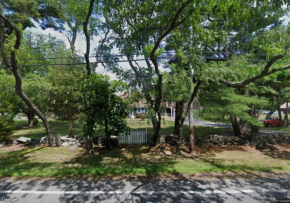
202 Thompson St Middleboro, MA 02346
Estimated Value: $719,000 - $855,000
3
Beds
3
Baths
3,078
Sq Ft
$252/Sq Ft
Est. Value
About This Home
This home is located at 202 Thompson St, Middleboro, MA 02346 and is currently estimated at $775,047, approximately $251 per square foot. 202 Thompson St is a home located in Plymouth County with nearby schools including Mary K. Goode Elementary School.
Ownership History
Date
Name
Owned For
Owner Type
Purchase Details
Closed on
Dec 23, 2021
Sold by
Gosson Julie A and Gosson Donald E
Bought by
Gosson Ft
Current Estimated Value
Purchase Details
Closed on
May 7, 1984
Bought by
Gosson Julie and Gosson Donald
Create a Home Valuation Report for This Property
The Home Valuation Report is an in-depth analysis detailing your home's value as well as a comparison with similar homes in the area
Home Values in the Area
Average Home Value in this Area
Purchase History
| Date | Buyer | Sale Price | Title Company |
|---|---|---|---|
| Gosson Ft | -- | None Available | |
| Gosson Julie | -- | -- |
Source: Public Records
Mortgage History
| Date | Status | Borrower | Loan Amount |
|---|---|---|---|
| Previous Owner | Gosson Julie | $125,000 | |
| Previous Owner | Gosson Julie | $75,000 | |
| Previous Owner | Gosson Julie | $50,000 | |
| Previous Owner | Gosson Julie | $40,000 |
Source: Public Records
Tax History Compared to Growth
Tax History
| Year | Tax Paid | Tax Assessment Tax Assessment Total Assessment is a certain percentage of the fair market value that is determined by local assessors to be the total taxable value of land and additions on the property. | Land | Improvement |
|---|---|---|---|---|
| 2025 | $8,332 | $621,300 | $172,000 | $449,300 |
| 2024 | $8,135 | $600,800 | $164,000 | $436,800 |
| 2023 | $8,131 | $571,000 | $164,000 | $407,000 |
| 2022 | $7,210 | $468,800 | $142,400 | $326,400 |
| 2021 | $7,146 | $439,200 | $124,800 | $314,400 |
| 2020 | $7,081 | $445,900 | $124,800 | $321,100 |
| 2019 | $6,392 | $412,900 | $124,800 | $288,100 |
| 2018 | $6,457 | $413,900 | $118,600 | $295,300 |
| 2017 | $5,822 | $369,200 | $114,000 | $255,200 |
| 2016 | $5,497 | $345,300 | $108,000 | $237,300 |
| 2015 | $5,643 | $357,600 | $108,000 | $249,600 |
Source: Public Records
Map
Nearby Homes
- 0 Thompson St
- Lot B Thompson St
- Lot A Thompson St
- Lot 3 Margot Rose Cir
- 105 Plain St
- 2404 Simmons Rd Unit 2404SIM
- 408 Green St Unit 408GRE
- 2804 Island Dr
- 3509 Fox Run Unit 3509FOX
- 2602 Green St
- 1606 Fox Run
- 1103 Green St
- 37 Katrina Rd
- 2101 Pheasant Ln Unit 2101PHE
- 1901 Pheasant Ln
- 1903 Pheasant Ln Unit 1903PHE
- 602 Hastings Rd Unit 602HAS
- 2608 Oak Point Dr
- 67 Thompson St
- 52 Saddleworth Way
- 198 Thompson St
- 204 Thompson St
- 195 Thompson St
- 207 Thompson St
- 191 Thompson St
- 205 Thompson St
- 00 Precinct St
- 193 Precinct St
- 188 Thompson St
- 214 Thompson St
- 187 Precinct St
- 198 Precinct St
- 187 Thompson St
- 192 Precinct St
- 184 Thompson St
- 216 Thompson St
- 185 Thompson St
- 183 Precinct St
- 218 Thompson St
- 220 Thompson St