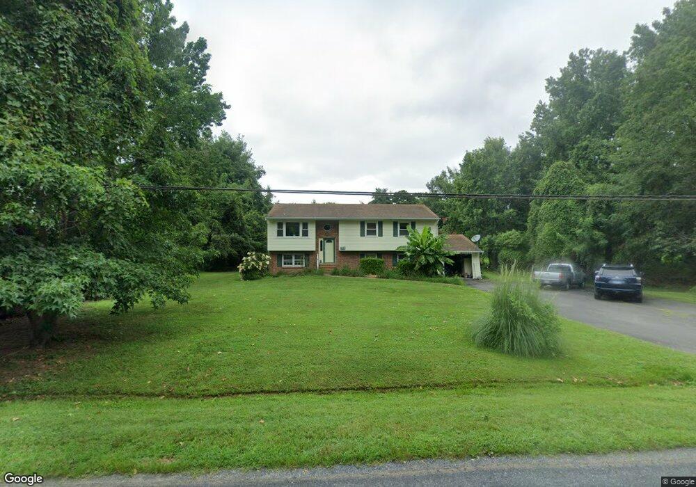
202 Tower Dr Stevensville, MD 21666
Estimated Value: $430,371 - $562,000
--
Bed
3
Baths
1,134
Sq Ft
$424/Sq Ft
Est. Value
About This Home
This home is located at 202 Tower Dr, Stevensville, MD 21666 and is currently estimated at $480,343, approximately $423 per square foot. 202 Tower Dr is a home located in Queen Anne's County with nearby schools including Matapeake Elementary School, Matapeake Middle School, and Kent Island High School.
Ownership History
Date
Name
Owned For
Owner Type
Purchase Details
Closed on
Mar 4, 1998
Sold by
Anderson Michael G
Bought by
Custer Edward P
Current Estimated Value
Purchase Details
Closed on
Aug 3, 1993
Sold by
Kelz G J
Bought by
Anderson Michael G
Home Financials for this Owner
Home Financials are based on the most recent Mortgage that was taken out on this home.
Original Mortgage
$73,500
Interest Rate
7.32%
Create a Home Valuation Report for This Property
The Home Valuation Report is an in-depth analysis detailing your home's value as well as a comparison with similar homes in the area
Home Values in the Area
Average Home Value in this Area
Purchase History
| Date | Buyer | Sale Price | Title Company |
|---|---|---|---|
| Custer Edward P | $134,900 | -- | |
| Anderson Michael G | $144,000 | -- |
Source: Public Records
Mortgage History
| Date | Status | Borrower | Loan Amount |
|---|---|---|---|
| Previous Owner | Anderson Michael G | $73,500 | |
| Closed | Custer Edward P | -- |
Source: Public Records
Tax History Compared to Growth
Tax History
| Year | Tax Paid | Tax Assessment Tax Assessment Total Assessment is a certain percentage of the fair market value that is determined by local assessors to be the total taxable value of land and additions on the property. | Land | Improvement |
|---|---|---|---|---|
| 2025 | $2,993 | $337,067 | $0 | $0 |
| 2024 | $2,840 | $311,433 | $0 | $0 |
| 2023 | $2,752 | $285,800 | $153,800 | $132,000 |
| 2022 | $2,717 | $282,100 | $0 | $0 |
| 2021 | $2,695 | $278,400 | $0 | $0 |
| 2020 | $2,695 | $274,700 | $149,800 | $124,900 |
| 2019 | $2,589 | $263,700 | $0 | $0 |
| 2018 | $2,484 | $252,700 | $0 | $0 |
| 2017 | $2,378 | $241,700 | $0 | $0 |
| 2016 | -- | $241,700 | $0 | $0 |
| 2015 | $1,147 | $241,700 | $0 | $0 |
| 2014 | $1,147 | $260,700 | $0 | $0 |
Source: Public Records
Map
Nearby Homes
- 208 Tower Dr
- 145 N Lake Dr
- 114 N Lake Dr
- 118 N Lake Dr
- 101 Beachside Dr
- 201 Beachside Dr
- 312 S Lake Dr
- Lot 1 - E/Kent Point Romancoke
- 306 N Lake Rd
- Lot 8 Ackerman Dr
- 0 Ackerman Dr
- 8905 Romancoke Rd
- 203 Olive Branch Rd
- 210 Pennick Dr
- 214 Pennick Dr
- 102 Golf Ct
- 213 Pennick Dr
- 122 S Carolina Rd
- 321 Oregon Rd
- 101 Oak St