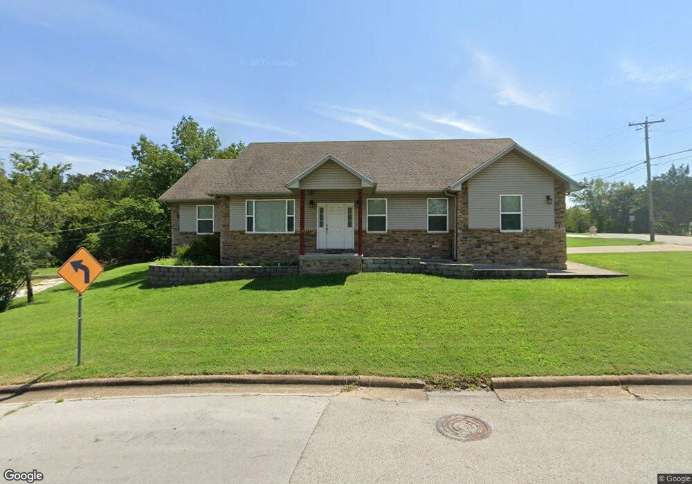
202 Truman Dr Branson, MO 65616
North Branson NeighborhoodEstimated Value: $258,000 - $394,000
3
Beds
2
Baths
1,873
Sq Ft
$162/Sq Ft
Est. Value
About This Home
This home is located at 202 Truman Dr, Branson, MO 65616 and is currently estimated at $303,163, approximately $161 per square foot. 202 Truman Dr is a home located in Taney County with nearby schools including Cedar Ridge Primary, Cedar Ridge Intermediate School, and Cedar Ridge Elementary School.
Ownership History
Date
Name
Owned For
Owner Type
Purchase Details
Closed on
Aug 11, 2011
Sold by
Natureboy Management Llc
Bought by
Donlon Tara
Current Estimated Value
Home Financials for this Owner
Home Financials are based on the most recent Mortgage that was taken out on this home.
Original Mortgage
$151,070
Outstanding Balance
$104,404
Interest Rate
4.53%
Mortgage Type
FHA
Estimated Equity
$198,759
Purchase Details
Closed on
Apr 7, 2010
Sold by
Hall Warre G
Bought by
Fulk Nathan A and Fulk Melody P
Purchase Details
Closed on
Mar 8, 2007
Sold by
Chapman Douglas V and Chapman Andrea M
Bought by
Natureboy Management Llc
Create a Home Valuation Report for This Property
The Home Valuation Report is an in-depth analysis detailing your home's value as well as a comparison with similar homes in the area
Home Values in the Area
Average Home Value in this Area
Purchase History
| Date | Buyer | Sale Price | Title Company |
|---|---|---|---|
| Donlon Tara | -- | -- | |
| Fulk Nathan A | -- | None Available | |
| Natureboy Management Llc | -- | -- |
Source: Public Records
Mortgage History
| Date | Status | Borrower | Loan Amount |
|---|---|---|---|
| Open | Donlon Tara | $151,070 |
Source: Public Records
Tax History
| Year | Tax Paid | Tax Assessment Tax Assessment Total Assessment is a certain percentage of the fair market value that is determined by local assessors to be the total taxable value of land and additions on the property. | Land | Improvement |
|---|---|---|---|---|
| 2025 | $1,371 | $22,210 | -- | -- |
| 2023 | $1,371 | $25,650 | $0 | $0 |
| 2022 | $1,334 | $25,650 | $0 | $0 |
| 2021 | $1,325 | $25,650 | $0 | $0 |
| 2019 | $1,227 | $22,760 | $0 | $0 |
| 2018 | $1,228 | $22,760 | $0 | $0 |
| 2017 | $1,352 | $25,300 | $0 | $0 |
| 2016 | $1,348 | $25,300 | $0 | $0 |
| 2015 | $1,336 | $25,300 | $0 | $0 |
| 2014 | $1,230 | $24,420 | $0 | $0 |
Source: Public Records
Map
Nearby Homes
- Lot 22 Rose Oneill Dr
- Tbd Roark Valley Rd
- 1293 Hillcrest Place Unit A&B
- Tbd 0 Roark Valley Rd
- 1211 W 76 Country Blvd
- 103 Della St
- 000 W St
- 102 Hero Dr
- 1203 Westwood Dr Unit A & B
- 000 Roark Valley Drive Highland
- 1026 Cliff Dr
- 109 Cottonwood Cir
- 201 Hideaway St
- TBD W 76 Country Blvd
- 1125/1127 W 76 Country Blvd
- 0 Gretna Rd Unit 60317933
- Tbd Gretna Rd
- 000 Gretna Rd
- Lot 4c Gretna Rd
- 5100 Gretna Rd
- 101 Rose Oneill Dr
- 204 Truman Dr
- 103 Rose Oneill Dr
- 301 Truman Dr
- 104 Rose Oneill Dr
- 104 Rose Oneill Dr
- 1702 Neihardt St
- 102 Rose Oneill Dr
- 141 Rose O'Neill
- 302 Truman Dr
- 1704 Neihardt Ave
- 1704 Neihardt St
- 107 Rose Oneill
- 1701 Colonial Dr
- 106 Rose Oneill Dr
- 106 Rose Oneill Dr
- 1706 Neihardt St
- 304 Truman Dr
- 1705 Neihardt St
- 139 Rose Oneill Dr
Your Personal Tour Guide
Ask me questions while you tour the home.