Estimated Value: $207,000 - $218,173
4
Beds
2
Baths
1,574
Sq Ft
$136/Sq Ft
Est. Value
About This Home
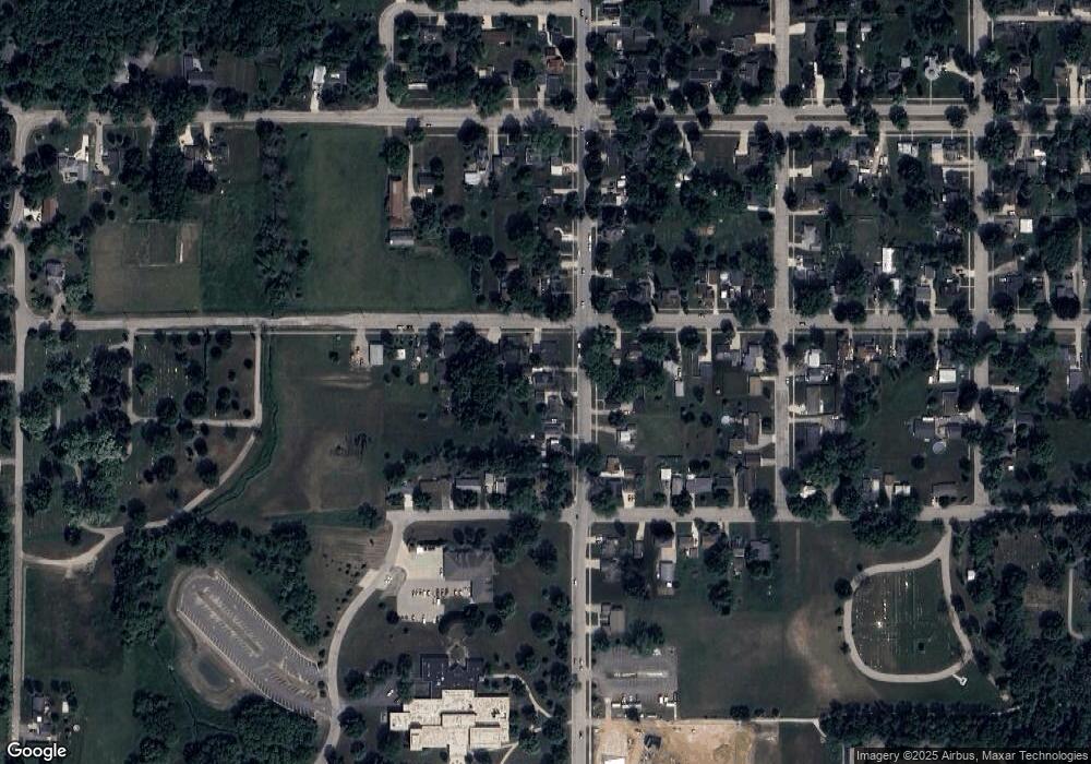
This home is located at 202 Union St, Ripon, WI 54971 and is currently estimated at $214,043, approximately $135 per square foot. 202 Union St is a home located in Fond du Lac County with nearby schools including Barlow Park Elementary School, Murray Park Elementary School, and Ripon Middle School.
Ownership History
Date
Name
Owned For
Owner Type
Purchase Details
Closed on
Jan 28, 2021
Sold by
Rich Brittany D and Rich Lori A
Bought by
Rich Brittany D
Current Estimated Value
Purchase Details
Closed on
Jan 21, 2020
Sold by
Rich Lori A
Bought by
Rich Brittany D and Rich Lori A
Purchase Details
Closed on
Feb 5, 2016
Sold by
Rich Lori A and Estate Of Randy L Rich
Bought by
Rich Lori A
Purchase Details
Closed on
Sep 11, 2009
Sold by
Fannie Mae
Bought by
Rich Randy L and Rich Lori A
Purchase Details
Closed on
Jul 24, 2008
Sold by
Modrow David J and Citimortgage Inc
Bought by
Federal National Mortgage Association
Create a Home Valuation Report for This Property
The Home Valuation Report is an in-depth analysis detailing your home's value as well as a comparison with similar homes in the area
Home Values in the Area
Average Home Value in this Area
Purchase History
| Date | Buyer | Sale Price | Title Company |
|---|---|---|---|
| Rich Brittany D | -- | None Available | |
| Rich Brittany D | -- | None Available | |
| Rich Lori A | -- | None Available | |
| Rich Randy L | -- | None Available | |
| Federal National Mortgage Association | -- | None Available |
Source: Public Records
Tax History Compared to Growth
Tax History
| Year | Tax Paid | Tax Assessment Tax Assessment Total Assessment is a certain percentage of the fair market value that is determined by local assessors to be the total taxable value of land and additions on the property. | Land | Improvement |
|---|---|---|---|---|
| 2024 | $2,694 | $120,200 | $27,500 | $92,700 |
| 2023 | $2,668 | $120,200 | $27,500 | $92,700 |
| 2022 | $2,566 | $120,200 | $27,500 | $92,700 |
| 2021 | $2,535 | $120,200 | $27,500 | $92,700 |
| 2020 | $2,715 | $118,900 | $27,500 | $91,400 |
| 2019 | $2,802 | $118,900 | $27,500 | $91,400 |
| 2018 | $2,588 | $118,900 | $27,500 | $91,400 |
| 2017 | $2,665 | $122,000 | $23,700 | $98,300 |
| 2016 | $2,784 | $122,000 | $23,700 | $98,300 |
| 2015 | $2,956 | $122,000 | $23,700 | $98,300 |
| 2014 | $2,921 | $122,000 | $23,700 | $98,300 |
| 2013 | $2,873 | $122,000 | $23,700 | $98,300 |
Source: Public Records
Map
Nearby Homes
- 529 Liberty St
- 515 Liberty St
- 648 Emerson Ave
- 1052 Combe St
- 321 W Thorne St
- 205 State St
- 369 Drumlin Loop
- 375 Drumlin Loop
- 333 Drumlin Loop
- 317 Drumlin Loop
- 301 Drumlin Loop
- 1068 Combe St
- 778 Hillside Terrace
- 778 Hillside Terrace Unit L
- 200 W Jackson St
- 604 S Grove St
- 290 Moraine Dr
- 291 Moraine Dr
- 250 Moraine Dr
- 234 Moraine Dr
