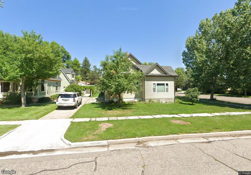
202 W 27th St Cheyenne, WY 82001
Historic Cheyenne NeighborhoodEstimated Value: $460,000 - $605,000
--
Bed
1
Bath
3,156
Sq Ft
$164/Sq Ft
Est. Value
About This Home
This home is located at 202 W 27th St, Cheyenne, WY 82001 and is currently estimated at $517,642, approximately $164 per square foot. 202 W 27th St is a home located in Laramie County with nearby schools including Pioneer Park Elementary School, McCormick Junior High School, and Central High School.
Ownership History
Date
Name
Owned For
Owner Type
Purchase Details
Closed on
Sep 9, 2016
Sold by
Skelley Peter Lavern and Skelley Loretta Jean
Bought by
Skelley Peter Lavern and Skelley Loretta Jean
Current Estimated Value
Purchase Details
Closed on
Jul 21, 2008
Sold by
Skelley Peter L and Skelley Loretta Jean
Bought by
Skelley Loretta Jean and Howard Loretta Jean
Purchase Details
Closed on
May 20, 2008
Sold by
Howard Bradford R and Skelley Loretta Jean
Bought by
Skelley Peter L and Skelley Loretta Jean
Create a Home Valuation Report for This Property
The Home Valuation Report is an in-depth analysis detailing your home's value as well as a comparison with similar homes in the area
Home Values in the Area
Average Home Value in this Area
Purchase History
| Date | Buyer | Sale Price | Title Company |
|---|---|---|---|
| Skelley Peter Lavern | -- | None Available | |
| Skelley Loretta Jean | -- | None Available | |
| Skelley Peter L | -- | None Available | |
| Skelley Peter L | -- | None Available |
Source: Public Records
Tax History Compared to Growth
Tax History
| Year | Tax Paid | Tax Assessment Tax Assessment Total Assessment is a certain percentage of the fair market value that is determined by local assessors to be the total taxable value of land and additions on the property. | Land | Improvement |
|---|---|---|---|---|
| 2025 | $3,469 | $26,238 | $2,030 | $24,208 |
| 2024 | $3,469 | $52,063 | $4,059 | $48,004 |
| 2023 | $3,440 | $51,655 | $4,059 | $47,596 |
| 2022 | $2,939 | $43,712 | $4,059 | $39,653 |
| 2021 | $2,770 | $38,294 | $4,059 | $34,235 |
| 2020 | $2,459 | $34,088 | $4,059 | $30,029 |
| 2019 | $2,275 | $34,507 | $4,059 | $30,448 |
| 2018 | $2,268 | $34,709 | $3,348 | $31,361 |
| 2017 | $2,076 | $31,772 | $3,348 | $28,424 |
| 2016 | $1,942 | $29,901 | $3,046 | $26,855 |
| 2015 | $1,929 | $29,710 | $3,046 | $26,664 |
| 2014 | $1,707 | $26,477 | $3,046 | $23,431 |
Source: Public Records
Map
Nearby Homes
- 2615 Capitol Ave
- 122 E 27th St
- 104 W Pershing Blvd
- 3021 Thomes Ave
- 312 E Pershing Blvd
- 3315 Moore Ave
- 620 W 25th St
- 515 W 24th St
- 2812 Bent Ave
- 210 E 1st Ave
- 3018 Bent Ave
- 712 W 31st St
- 3112 Bent Ave
- 3517 Central Ave
- 115 W 3rd Ave
- 2916 Reed Ave
- 502 E 24th St
- 3068 Reed Ave
- 3512 Moore Ave
- 118 E 3rd Ave
- 210 W 27th St
- 216 W 27th St
- 122 W 27th St
- 2720 Capitol Ave
- 215 W 28th St
- 220 W 27th St
- 114 W 27th St
- 2719 Capitol Ave
- 123 W 27th St
- 2717 Carey Ave
- 2614 Capitol Ave
- 2721 Capitol Ave
- 108 W 27th St
- 115 W 27th St
- 2714 Central Ave
- 102 W 27th St
- 2718 Central Ave
- 2622 Central Ave
- 2800 Capitol Ave
- 2803 Carey Ave