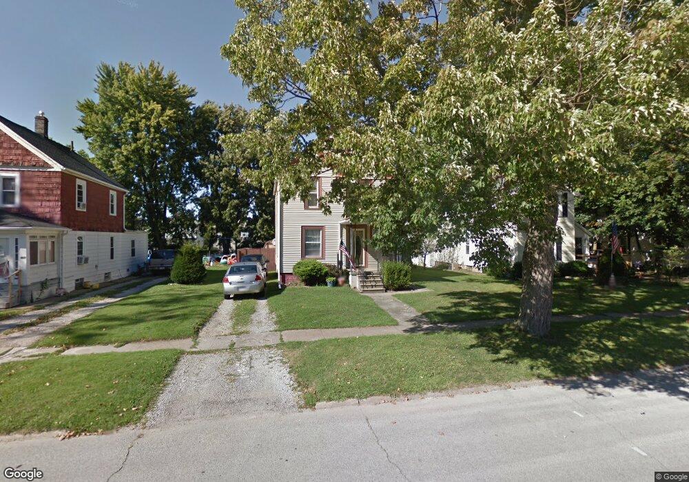
202 W 29th St Lorain, OH 44055
Estimated Value: $96,523 - $122,000
3
Beds
1
Bath
1,206
Sq Ft
$94/Sq Ft
Est. Value
About This Home
This home is located at 202 W 29th St, Lorain, OH 44055 and is currently estimated at $113,631, approximately $94 per square foot. 202 W 29th St is a home located in Lorain County with nearby schools including Garfield Elementary School, Southview Middle School, and Lorain High School.
Ownership History
Date
Name
Owned For
Owner Type
Purchase Details
Closed on
Jun 20, 1994
Sold by
Poprock Theodore T
Bought by
Dunfee Nelson G and Dunfee Tracie J
Current Estimated Value
Home Financials for this Owner
Home Financials are based on the most recent Mortgage that was taken out on this home.
Original Mortgage
$44,400
Interest Rate
8.58%
Mortgage Type
FHA
Create a Home Valuation Report for This Property
The Home Valuation Report is an in-depth analysis detailing your home's value as well as a comparison with similar homes in the area
Home Values in the Area
Average Home Value in this Area
Purchase History
| Date | Buyer | Sale Price | Title Company |
|---|---|---|---|
| Dunfee Nelson G | $43,900 | -- |
Source: Public Records
Mortgage History
| Date | Status | Borrower | Loan Amount |
|---|---|---|---|
| Closed | Dunfee Nelson G | $44,400 |
Source: Public Records
Tax History Compared to Growth
Tax History
| Year | Tax Paid | Tax Assessment Tax Assessment Total Assessment is a certain percentage of the fair market value that is determined by local assessors to be the total taxable value of land and additions on the property. | Land | Improvement |
|---|---|---|---|---|
| 2024 | $1,069 | $25,316 | $3,591 | $21,725 |
| 2023 | $1,282 | $24,255 | $2,926 | $21,329 |
| 2022 | $1,271 | $24,255 | $2,926 | $21,329 |
| 2021 | $1,238 | $24,255 | $2,926 | $21,329 |
| 2020 | $1,261 | $21,450 | $2,590 | $18,860 |
| 2019 | $1,253 | $21,450 | $2,590 | $18,860 |
| 2018 | $1,243 | $21,450 | $2,590 | $18,860 |
| 2017 | $1,232 | $19,860 | $3,400 | $16,460 |
| 2016 | $1,222 | $19,860 | $3,400 | $16,460 |
| 2015 | $1,152 | $19,860 | $3,400 | $16,460 |
| 2014 | $1,064 | $18,380 | $3,140 | $15,240 |
| 2013 | $1,056 | $18,380 | $3,140 | $15,240 |
Source: Public Records
Map
Nearby Homes
- 206 W 29th St
- V/L Broadway Ave
- 2634 Apple Ave
- 325 W 31st St
- 207 W 25th St
- 0 Apple Ave
- 3242 Reid Ave
- 3266 Livingston Ave
- 2613 Oakdale Ave
- 2346 Livingston Ave
- 508 W 25th St
- 314 E 26th St
- 3026 Caroline Ave
- 3177 Elyria Ave
- 216 E 33rd St
- 2909 Denver Ave
- 623 W 24th St
- 0 Toledo Ave Unit 5129967
- 501 W 21st St
- 3402 Amherst Ave