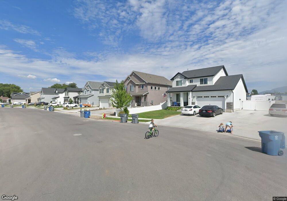
202 W 380 S Unit 14B American Fork, UT 84003
Estimated Value: $658,000 - $672,962
4
Beds
3
Baths
3,634
Sq Ft
$183/Sq Ft
Est. Value
About This Home
This home is located at 202 W 380 S Unit 14B, American Fork, UT 84003 and is currently estimated at $663,491, approximately $182 per square foot. 202 W 380 S Unit 14B is a home located in Utah County with nearby schools including Greenwood Elementary School, American Fork Junior High School, and American Fork High School.
Ownership History
Date
Name
Owned For
Owner Type
Purchase Details
Closed on
Oct 10, 2019
Sold by
Arive Homes Llc
Bought by
Erickson Rebecca and Erickson Daxton Quinn
Current Estimated Value
Home Financials for this Owner
Home Financials are based on the most recent Mortgage that was taken out on this home.
Original Mortgage
$382,543
Outstanding Balance
$335,127
Interest Rate
3.5%
Mortgage Type
FHA
Estimated Equity
$328,364
Purchase Details
Closed on
Jan 17, 2019
Sold by
Clyde Properties Llc
Bought by
Arive Homes Llc
Create a Home Valuation Report for This Property
The Home Valuation Report is an in-depth analysis detailing your home's value as well as a comparison with similar homes in the area
Home Values in the Area
Average Home Value in this Area
Purchase History
| Date | Buyer | Sale Price | Title Company |
|---|---|---|---|
| Erickson Rebecca | -- | Provo Land Title Co | |
| Arive Homes Llc | -- | Bartlett Title Ins Agency |
Source: Public Records
Mortgage History
| Date | Status | Borrower | Loan Amount |
|---|---|---|---|
| Open | Erickson Rebecca | $382,543 |
Source: Public Records
Tax History Compared to Growth
Tax History
| Year | Tax Paid | Tax Assessment Tax Assessment Total Assessment is a certain percentage of the fair market value that is determined by local assessors to be the total taxable value of land and additions on the property. | Land | Improvement |
|---|---|---|---|---|
| 2025 | $2,667 | $319,935 | $195,200 | $386,500 |
| 2024 | $2,667 | $296,285 | $0 | $0 |
| 2023 | $2,560 | $301,510 | $0 | $0 |
| 2022 | $2,579 | $299,805 | $0 | $0 |
| 2021 | $2,233 | $405,500 | $130,700 | $274,800 |
| 2020 | $2,176 | $383,200 | $116,700 | $266,500 |
| 2019 | $1,067 | $106,900 | $106,900 | $0 |
| 2018 | $1,015 | $97,200 | $97,200 | $0 |
| 2017 | $828 | $77,800 | $0 | $0 |
Source: Public Records
Map
Nearby Homes
- 368 S Storrs Ct Unit 107
- 429 S Storrs Ave
- 316 W 390 S
- 271 S Barratt Cir
- 365 W 370 S
- 424 S 340 W
- 391 W 370 S
- 382 W 330 S
- 412 S 390 W
- 195 S Center St
- 65 E 400 S Unit 8
- 351 Washington Ave
- 82 S Lincoln Ave
- 55 Roosevelt Ave
- 217 W Main St
- 326 S 650 W
- 415 S 680 W Unit 45
- 455 S 680 W
- 856 S 120 W
- 528 S 260 E
- 204 W 380 S
- 204 W 380 S Unit 14A
- 194 W 380 S Unit 15A
- 214 W 380 S Unit 13A
- 214 W 380 S Unit 13B
- 355 S 190 W Unit 6B
- 355 S 190 W
- 186 W 380 S
- 186 W 380 S Unit 15B
- 216 W 380 S Unit 13A
- 349 S 190 W Unit 6A
- 349 S 190 W
- 386 S 170 W Unit 23A
- 383 S 170 W Unit 16A
- 226 W 380 S Unit 12B
- 201 W 380 S Unit 22B
- 341 S 190 W Unit 5B
- 341 S 190 W
- 389 S 170 W Unit 16B
- 205 W 380 S Unit 22A