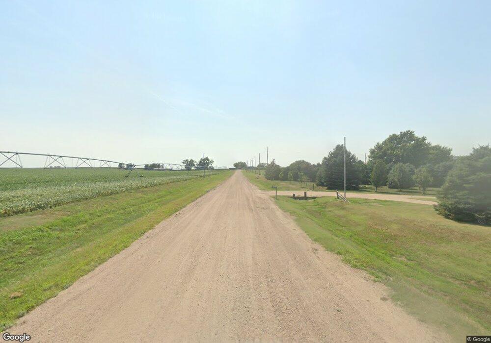
202 W Alonzo St Wilcox, NE 68982
Estimated Value: $146,000 - $275,090
--
Bed
--
Bath
1,288
Sq Ft
$177/Sq Ft
Est. Value
About This Home
This home is located at 202 W Alonzo St, Wilcox, NE 68982 and is currently estimated at $227,773, approximately $176 per square foot. 202 W Alonzo St is a home located in Kearney County with nearby schools including Wilcox-Hildreth Elementary School, Wilcox-Hildreth Middle School, and Wilcox-Hildreth High School.
Ownership History
Date
Name
Owned For
Owner Type
Purchase Details
Closed on
Feb 3, 2025
Sold by
Gardels Clinton and Gardels Breanna
Bought by
Johnson Chase O
Current Estimated Value
Purchase Details
Closed on
Aug 29, 2018
Sold by
Pool Christopher M and Pool Kristen T
Bought by
Gardels Clinton and Gardels Breanna
Home Financials for this Owner
Home Financials are based on the most recent Mortgage that was taken out on this home.
Original Mortgage
$108,900
Interest Rate
4.6%
Mortgage Type
New Conventional
Create a Home Valuation Report for This Property
The Home Valuation Report is an in-depth analysis detailing your home's value as well as a comparison with similar homes in the area
Home Values in the Area
Average Home Value in this Area
Purchase History
| Date | Buyer | Sale Price | Title Company |
|---|---|---|---|
| Johnson Chase O | $240,000 | None Listed On Document | |
| Johnson Chase O | $240,000 | None Listed On Document | |
| Gardels Clinton | $179,000 | Miller Abstract & Title |
Source: Public Records
Mortgage History
| Date | Status | Borrower | Loan Amount |
|---|---|---|---|
| Previous Owner | Gardels Clinton | $108,900 |
Source: Public Records
Tax History Compared to Growth
Tax History
| Year | Tax Paid | Tax Assessment Tax Assessment Total Assessment is a certain percentage of the fair market value that is determined by local assessors to be the total taxable value of land and additions on the property. | Land | Improvement |
|---|---|---|---|---|
| 2025 | $2,289 | $220,405 | $15,310 | $205,095 |
| 2024 | $2,289 | $207,930 | $14,445 | $193,485 |
| 2023 | $3,019 | $207,930 | $14,445 | $193,485 |
| 2022 | $3,164 | $207,930 | $14,445 | $193,485 |
| 2021 | $3,308 | $220,640 | $3,865 | $216,775 |
| 2020 | $2,459 | $166,855 | $3,865 | $162,990 |
| 2019 | $1,720 | $129,800 | $3,865 | $125,935 |
| 2018 | $1,665 | $129,800 | $3,865 | $125,935 |
| 2017 | $1,488 | $117,450 | $3,865 | $113,585 |
| 2016 | $1,540 | $117,450 | $3,865 | $113,585 |
| 2015 | $1,837 | $117,450 | $3,865 | $113,585 |
| 2014 | $1,837 | $117,450 | $3,865 | $113,585 |
Source: Public Records
Map
Nearby Homes
- 14 Mustang Trail
- 410 S Briggs St
- 410 S Toila St
- 405 S Briggs St
- 305 W Linn St
- 403 S Briggs St
- 409 S Toila St
- 404 S Briggs St
- 102 W Alonzo St
- 307 W Linn St
- 405 S Main St
- 403 S Toila St
- 401 S Main St
- 208 W Harlan St
- 309 S Toila St
- 309 W Linn St
- 306 S Briggs St
- 504 S Main St
- 105 E Harlan St
- 308 W Linn St
