202 W Main St Calhoun, IL 62419
Estimated Value: $89,801 - $140,000
--
Bed
--
Bath
--
Sq Ft
1.04
Acres
About This Home
This home is located at 202 W Main St, Calhoun, IL 62419 and is currently estimated at $114,901. 202 W Main St is a home with nearby schools including Richland County Elementary School, Richland County Middle School, and Richland County High School.
Ownership History
Date
Name
Owned For
Owner Type
Purchase Details
Closed on
Jun 29, 2010
Sold by
Petty Lorinda S
Bought by
Petty Gary L
Current Estimated Value
Home Financials for this Owner
Home Financials are based on the most recent Mortgage that was taken out on this home.
Original Mortgage
$53,242
Outstanding Balance
$12,216
Interest Rate
5.5%
Estimated Equity
$102,685
Purchase Details
Closed on
Nov 8, 2005
Sold by
Hudson Linda
Bought by
Petty Gary L and Petty Lorinda S
Home Financials for this Owner
Home Financials are based on the most recent Mortgage that was taken out on this home.
Original Mortgage
$57,200
Interest Rate
6.13%
Create a Home Valuation Report for This Property
The Home Valuation Report is an in-depth analysis detailing your home's value as well as a comparison with similar homes in the area
Home Values in the Area
Average Home Value in this Area
Purchase History
| Date | Buyer | Sale Price | Title Company |
|---|---|---|---|
| Petty Gary L | -- | -- | |
| Petty Gary L | -- | -- |
Source: Public Records
Mortgage History
| Date | Status | Borrower | Loan Amount |
|---|---|---|---|
| Open | Petty Gary L | $53,242 | |
| Previous Owner | Petty Gary L | $57,200 |
Source: Public Records
Tax History Compared to Growth
Tax History
| Year | Tax Paid | Tax Assessment Tax Assessment Total Assessment is a certain percentage of the fair market value that is determined by local assessors to be the total taxable value of land and additions on the property. | Land | Improvement |
|---|---|---|---|---|
| 2024 | $1,529 | $28,421 | $4,201 | $24,220 |
| 2023 | $1,430 | $26,316 | $3,890 | $22,426 |
| 2022 | $1,336 | $24,367 | $3,602 | $20,765 |
| 2021 | $1,311 | $23,206 | $3,430 | $19,776 |
| 2020 | $1,287 | $22,751 | $3,363 | $19,388 |
| 2019 | $1,305 | $22,751 | $3,363 | $19,388 |
| 2018 | $1,297 | $22,751 | $3,363 | $19,388 |
| 2017 | $1,290 | $22,526 | $3,330 | $19,196 |
| 2016 | $1,238 | $21,453 | $3,171 | $18,282 |
| 2015 | $1,203 | $20,628 | $3,049 | $17,579 |
| 2014 | $1,154 | $20,223 | $2,989 | $17,234 |
| 2013 | $1,019 | $18,519 | $2,737 | $15,782 |
Source: Public Records
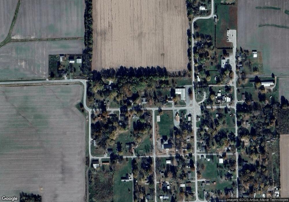
Map
Nearby Homes
- 1911 N Stringtown Rd
- 111 N Main St
- 6122 E Antiock Ln
- 303 E Glenwood Ave
- 1211 Borah St
- 139 E Ridgeway St
- 310 E Harmon St
- 309 E Monroe St
- 624 S East St
- 525 S Grant St
- 530 S East St
- 829 S Fair St
- 318 S Elliott St
- 1306 E Chestnut St
- 221 N Van St
- 215 N Ohio St
- 335 W Elm St
- 1400 E Locust St
- 1014 W Main St
- 517 W Saint John St