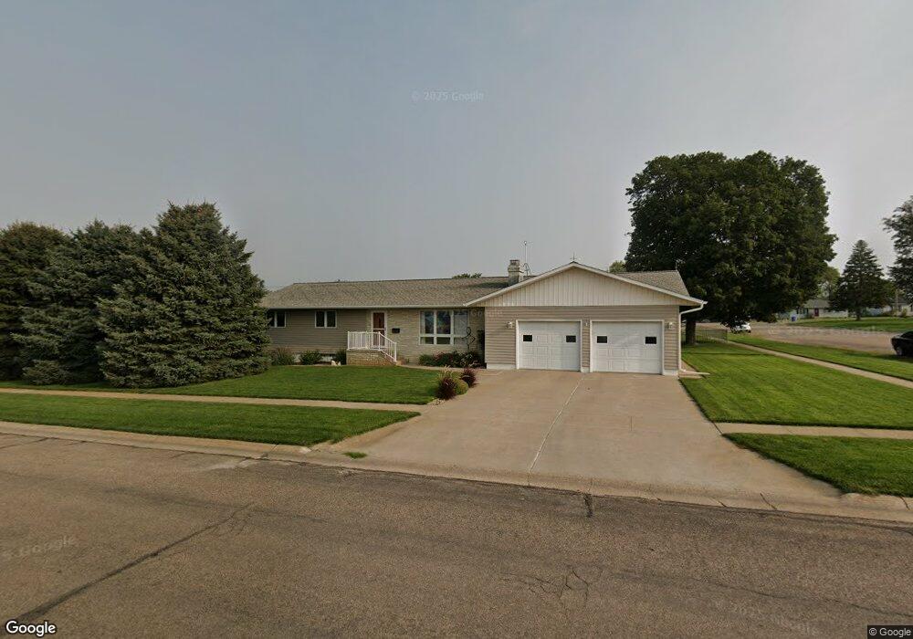
202 W Sapp St Wilcox, NE 68982
Estimated Value: $187,000 - $253,742
Studio
--
Bath
1,782
Sq Ft
$128/Sq Ft
Est. Value
About This Home
This home is located at 202 W Sapp St, Wilcox, NE 68982 and is currently estimated at $227,936, approximately $127 per square foot. 202 W Sapp St is a home located in Kearney County with nearby schools including Wilcox-Hildreth Elementary School, Wilcox-Hildreth Middle School, and Wilcox-Hildreth High School.
Ownership History
Date
Name
Owned For
Owner Type
Purchase Details
Closed on
Nov 22, 2017
Sold by
Johnson Lorraine H
Bought by
Harms Matthew J
Current Estimated Value
Home Financials for this Owner
Home Financials are based on the most recent Mortgage that was taken out on this home.
Original Mortgage
$125,000
Outstanding Balance
$104,689
Interest Rate
3.83%
Mortgage Type
New Conventional
Estimated Equity
$123,247
Purchase Details
Closed on
Aug 11, 2008
Sold by
First American Title Company
Bought by
Johnson H Eugene and Johnson Lorraine H
Create a Home Valuation Report for This Property
The Home Valuation Report is an in-depth analysis detailing your home's value as well as a comparison with similar homes in the area
Purchase History
| Date | Buyer | Sale Price | Title Company |
|---|---|---|---|
| Harms Matthew J | $135,000 | None Available | |
| Johnson H Eugene | -- | First American Title Company |
Source: Public Records
Mortgage History
| Date | Status | Borrower | Loan Amount |
|---|---|---|---|
| Open | Harms Matthew J | $125,000 |
Source: Public Records
Tax History
| Year | Tax Paid | Tax Assessment Tax Assessment Total Assessment is a certain percentage of the fair market value that is determined by local assessors to be the total taxable value of land and additions on the property. | Land | Improvement |
|---|---|---|---|---|
| 2025 | $1,901 | $181,610 | $6,680 | $174,930 |
| 2024 | $1,886 | $171,330 | $6,300 | $165,030 |
| 2023 | $2,488 | $171,330 | $6,300 | $165,030 |
| 2022 | $2,607 | $171,330 | $6,300 | $165,030 |
| 2021 | $2,252 | $150,195 | $4,080 | $146,115 |
| 2020 | $1,679 | $113,940 | $4,080 | $109,860 |
| 2019 | $1,441 | $108,710 | $4,080 | $104,630 |
| 2018 | $1,395 | $108,710 | $4,080 | $104,630 |
| 2017 | $1,246 | $98,310 | $4,080 | $94,230 |
| 2016 | $1,289 | $98,310 | $4,080 | $94,230 |
| 2015 | $1,660 | $98,310 | $4,080 | $94,230 |
| 2014 | $1,660 | $98,310 | $4,080 | $94,230 |
Source: Public Records
Map
Nearby Homes
- 102 W Alonzo St
- 0000 Polyline Rd
- 635 Haxton St
- 401 Hubbard St
- 700 D Ave
- L1B2 Craneview 3rd Subdivison
- 1313 Pamela Ave
- 915 Sherman St
- 816 Garfield St
- 1010 East Ave
- 1103 East Ave
- 602 11th Ave
- 420 14th Ave
- 1019 Hancock St
- 1023 Hancock St
- 73803 Highway 183
- 815 Tibbals St
- 1306 Maberly St
- 1015 Evergreen St
- 667 W Hawthorne St
- 105 N Briggs St
- 206 W Sapp St
- 205 S Briggs St
- 208 W Sapp St
- 109 N Briggs St
- 103 S Briggs St
- 203 N Briggs St
- 101 N Toila St
- 208 W Dequine St
- 205 N Briggs St
- 110 W Dequine St
- 112 W Dequine St
- 105 N Main St
- 109 N Main St
- 119 S Main St
- 201 N Main St
- 209 N Briggs St
- 208 N Briggs St
- 108 N Main St
- 209 N Main St
Your Personal Tour Guide
Ask me questions while you tour the home.