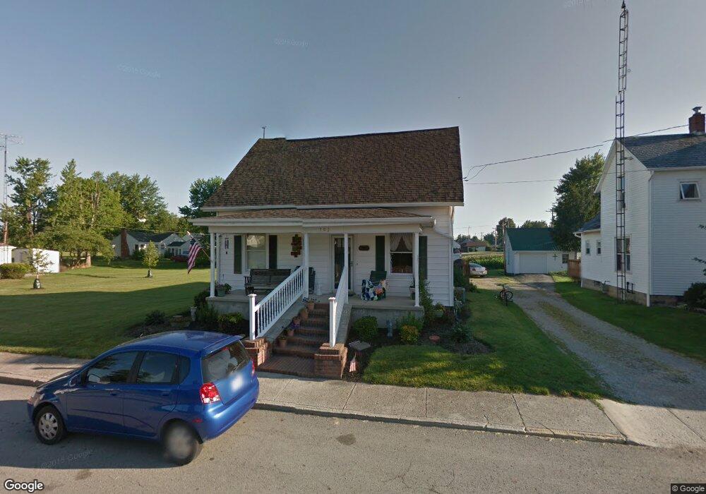
202 W Walnut St Botkins, OH 45306
Estimated Value: $203,000 - $305,000
3
Beds
2
Baths
2,320
Sq Ft
$109/Sq Ft
Est. Value
About This Home
This home is located at 202 W Walnut St, Botkins, OH 45306 and is currently estimated at $252,800, approximately $108 per square foot. 202 W Walnut St is a home located in Shelby County with nearby schools including Botkins Elementary School and Botkins High School.
Ownership History
Date
Name
Owned For
Owner Type
Purchase Details
Closed on
Sep 27, 1994
Sold by
Thyman Harold L
Bought by
Meyer Ronald F and Meyer Diane E
Current Estimated Value
Home Financials for this Owner
Home Financials are based on the most recent Mortgage that was taken out on this home.
Original Mortgage
$85,000
Interest Rate
8%
Mortgage Type
New Conventional
Purchase Details
Closed on
Aug 6, 1993
Create a Home Valuation Report for This Property
The Home Valuation Report is an in-depth analysis detailing your home's value as well as a comparison with similar homes in the area
Home Values in the Area
Average Home Value in this Area
Purchase History
| Date | Buyer | Sale Price | Title Company |
|---|---|---|---|
| Meyer Ronald F | $85,000 | -- | |
| -- | -- | -- |
Source: Public Records
Mortgage History
| Date | Status | Borrower | Loan Amount |
|---|---|---|---|
| Closed | Meyer Ronald F | $85,000 |
Source: Public Records
Tax History Compared to Growth
Tax History
| Year | Tax Paid | Tax Assessment Tax Assessment Total Assessment is a certain percentage of the fair market value that is determined by local assessors to be the total taxable value of land and additions on the property. | Land | Improvement |
|---|---|---|---|---|
| 2024 | $1,833 | $55,330 | $6,250 | $49,080 |
| 2023 | $1,833 | $55,330 | $6,250 | $49,080 |
| 2022 | $1,528 | $40,150 | $4,780 | $35,370 |
| 2021 | $1,523 | $40,150 | $4,780 | $35,370 |
| 2020 | $1,545 | $40,150 | $4,780 | $35,370 |
| 2019 | $1,343 | $35,280 | $4,040 | $31,240 |
| 2018 | $1,316 | $35,280 | $4,040 | $31,240 |
| 2017 | $1,324 | $35,280 | $4,040 | $31,240 |
| 2016 | $1,135 | $30,430 | $4,040 | $26,390 |
| 2015 | $1,125 | $30,430 | $4,040 | $26,390 |
| 2014 | $1,125 | $30,430 | $4,040 | $26,390 |
| 2013 | $1,117 | $29,170 | $4,040 | $25,130 |
Source: Public Records
Map
Nearby Homes
- 108 W State St
- 19211 State Route 219
- 205 Linkensmith Dr
- 15031 Ohio 119
- 101 W South St
- 205 S 2nd St
- 101 Sapphire St
- 0 Kohler Rd
- 0 Saxony Unit 1032555
- 102 Wapak St
- 1105 Holley St
- 14334 Meranda Rd
- 16785 Roettger Rd
- 409 S Pine St
- 206 E Benton St
- 201 E Pearl St
- 1100 W Auglaize St
- 608 W Benton St
- 13400 Whitefeather Trail
- 307 W Auglaize St