Estimated Value: $691,690
Studio
--
Bath
3,016
Sq Ft
$229/Sq Ft
Est. Value
About This Home
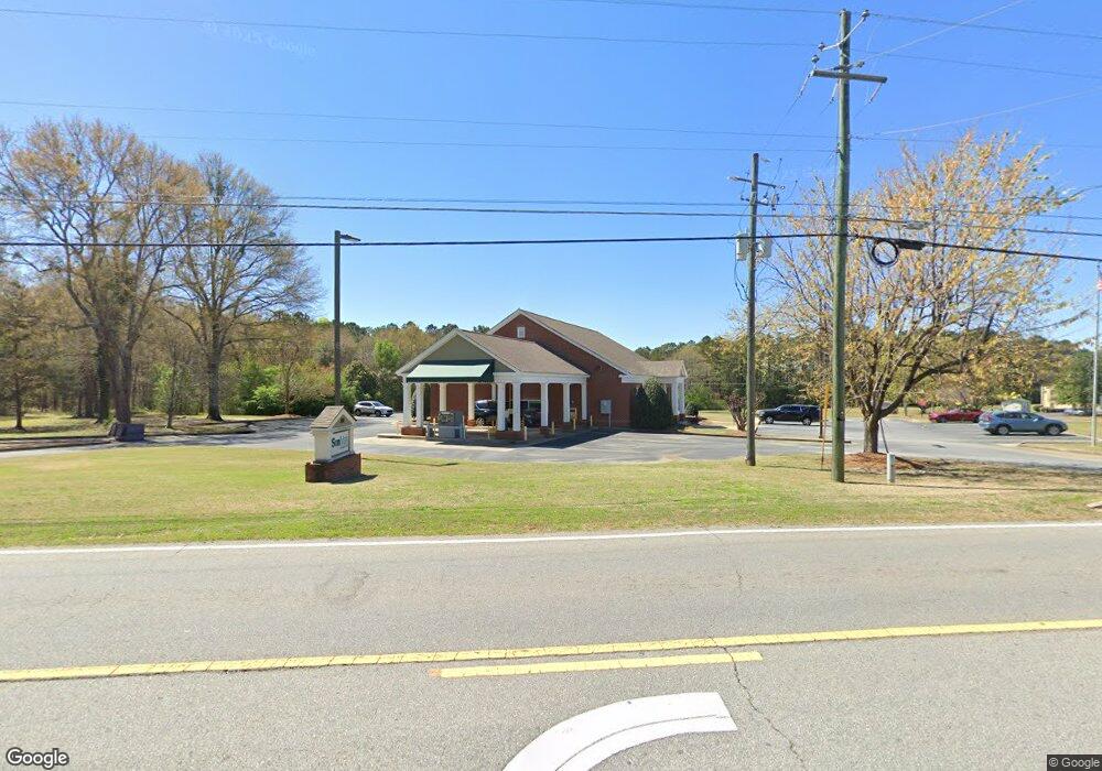
This home is located at 202 W White Rd, Byron, GA 31008 and is currently priced at $691,690, approximately $229 per square foot. 202 W White Rd is a home located in Peach County with nearby schools including Byron Elementary School, Byron Middle School, and Peach County High School.
Ownership History
Date
Name
Owned For
Owner Type
Purchase Details
Closed on
May 1, 2018
Sold by
Prince Joey A
Bought by
Sunmark Community Bakn
Current Estimated Value
Purchase Details
Closed on
Sep 14, 2015
Sold by
Certusbank
Bought by
Prince Joey A
Purchase Details
Closed on
Aug 20, 2012
Sold by
Federal Deposit Insurance Corporation
Bought by
Certusbank
Purchase Details
Closed on
May 20, 2011
Sold by
Fdic As Rec For Atlantic Sourthern Bank
Bought by
Certusbank Na
Purchase Details
Closed on
Jan 1, 2001
Sold by
Shepard Doris R
Bought by
First Community Bank
Purchase Details
Closed on
Dec 27, 2000
Sold by
Peach County
Bought by
Ballard Raymond O
Purchase Details
Closed on
Mar 14, 2000
Sold by
Shepard Virgil H
Bought by
Shepard Doris R
Create a Home Valuation Report for This Property
The Home Valuation Report is an in-depth analysis detailing your home's value as well as a comparison with similar homes in the area
Home Values in the Area
Average Home Value in this Area
Purchase History
| Date | Buyer | Sale Price | Title Company |
|---|---|---|---|
| Sunmark Community Bakn | $370,000 | -- | |
| Prince Joey A | $318,000 | -- | |
| Certusbank | -- | -- | |
| Certusbank Na | -- | -- | |
| First Community Bank | -- | -- | |
| Ballard Raymond O | $3,600 | -- | |
| First Community Bank | $27,000 | -- | |
| Shepard Doris R | -- | -- |
Source: Public Records
Tax History
| Year | Tax Paid | Tax Assessment Tax Assessment Total Assessment is a certain percentage of the fair market value that is determined by local assessors to be the total taxable value of land and additions on the property. | Land | Improvement |
|---|---|---|---|---|
| 2025 | $3,714 | $106,480 | $106,480 | $0 |
| 2024 | $3,740 | $104,800 | $104,800 | $0 |
| 2023 | $836 | $31,320 | $31,320 | $0 |
| 2022 | $843 | $31,320 | $31,320 | $0 |
| 2021 | $978 | $31,320 | $31,320 | $0 |
| 2020 | $978 | $31,320 | $31,320 | $0 |
| 2019 | $983 | $31,320 | $31,320 | $0 |
| 2018 | $8,448 | $267,880 | $83,920 | $183,960 |
| 2017 | $8,353 | $263,600 | $83,920 | $179,680 |
| 2016 | $8,318 | $263,600 | $83,920 | $179,680 |
| 2015 | $8,331 | $263,600 | $83,920 | $179,680 |
| 2014 | $8,344 | $263,600 | $83,920 | $179,680 |
| 2013 | -- | $263,600 | $83,920 | $179,680 |
Source: Public Records
Map
Nearby Homes
- 203 W White Rd
- 201 W White Rd
- 9 Gralan Dr
- 8 Gralan Dr
- 107 Walker Rd
- 305 W White Rd
- 0 Gralan Dr Unit 3 8088094
- 0 Gralan Dr Unit 9B 8169723
- 0 Gralan Dr Unit 8A 8169713
- 132 Gralan Dr
- 208 W White Rd
- 202 New Dunbar Rd
- 202 Ga Highway 49 S
- 109 Walker Rd
- 202 A S Hwy 49
- 212 Ga Highway 49 N Unit 800
- 212 Ga Highway 49 N Unit 900
- 212 Ga Highway 49 N Unit 600
- 212 Ga Highway 49 N Unit 400
- 212 Ga Highway 49 N Unit 1600
Your Personal Tour Guide
Ask me questions while you tour the home.