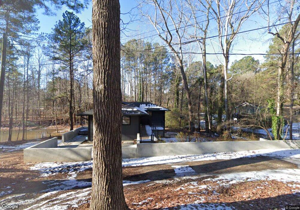
202 Watson Dr Henderson, NC 27536
Estimated Value: $164,863 - $193,000
2
Beds
2
Baths
960
Sq Ft
$183/Sq Ft
Est. Value
About This Home
This home is located at 202 Watson Dr, Henderson, NC 27536 and is currently estimated at $175,966, approximately $183 per square foot. 202 Watson Dr is a home located in Vance County with nearby schools including E.M. Rollins Elementary School, Vance County Middle School, and Vance County High School.
Ownership History
Date
Name
Owned For
Owner Type
Purchase Details
Closed on
Oct 17, 2018
Sold by
Catherwood Claire K and Stevenson Hannelore
Bought by
Wicker R David and Wicker Susan M
Current Estimated Value
Home Financials for this Owner
Home Financials are based on the most recent Mortgage that was taken out on this home.
Original Mortgage
$60,000
Outstanding Balance
$52,324
Interest Rate
4.5%
Mortgage Type
Future Advance Clause Open End Mortgage
Estimated Equity
$123,642
Create a Home Valuation Report for This Property
The Home Valuation Report is an in-depth analysis detailing your home's value as well as a comparison with similar homes in the area
Home Values in the Area
Average Home Value in this Area
Purchase History
| Date | Buyer | Sale Price | Title Company |
|---|---|---|---|
| Wicker R David | $75,000 | None Available |
Source: Public Records
Mortgage History
| Date | Status | Borrower | Loan Amount |
|---|---|---|---|
| Open | Wicker R David | $60,000 |
Source: Public Records
Tax History Compared to Growth
Tax History
| Year | Tax Paid | Tax Assessment Tax Assessment Total Assessment is a certain percentage of the fair market value that is determined by local assessors to be the total taxable value of land and additions on the property. | Land | Improvement |
|---|---|---|---|---|
| 2025 | $2,265 | $155,481 | $7,755 | $147,726 |
| 2024 | $2,244 | $155,481 | $7,755 | $147,726 |
| 2023 | $1,414 | $78,918 | $14,700 | $64,218 |
| 2022 | $1,384 | $78,918 | $14,700 | $64,218 |
| 2021 | $1,264 | $78,918 | $14,700 | $64,218 |
| 2020 | $1,381 | $78,918 | $14,700 | $64,218 |
| 2019 | $1,376 | $78,918 | $14,700 | $64,218 |
| 2018 | $1,264 | $78,918 | $14,700 | $64,218 |
| 2017 | $1,369 | $78,918 | $14,700 | $64,218 |
| 2016 | $1,369 | $78,918 | $14,700 | $64,218 |
| 2015 | $1,388 | $83,450 | $15,000 | $68,450 |
| 2014 | $1,283 | $83,448 | $15,000 | $68,448 |
Source: Public Records
Map
Nearby Homes
- 00 Oxford Rd Southern Ave Rd
- 2315 Oxford Rd
- 115 Red Bud Dr
- 159 Dorsey Place
- 155 Dorsey Place
- 105 Sunset Cir
- 106 Orchard Rd
- 141 Country Club Dr
- 1922 Oxford Rd
- 415 Beechwood Trail
- 2118 N Woodland Rd
- 307 Yowland Rd
- 3070 Cameron Dr
- 3203 Cameron Dr
- 425 Rollins Ave
- 1609 Cypress Dr
- 8549 U S 158 Business
- 01 U S 158 Business
- 1744 Parker Ln
- 1125 Beacon Ave
- 200 Watson Dr
- 225 White Oak Dr
- 229 White Oak Dr
- 2509 Sims Ave
- 2511 Sims Ave
- 211 Watson Dr
- 203 Watson Dr
- 205 White Oak Dr
- 2525 Sims Ave
- 140 Watson Dr
- 201 Watson Dr
- 304 Watson Dr
- 139 Watson Dr
- 218 White Oak Dr
- 224 White Oak Dr
- 2518 Sims Ave
- 220 White Oak Dr
- 305 White Oak Dr
- 2524 Sims Ave
- 138 Watson Dr