Estimated Value: $392,000 - $503,000
3
Beds
2
Baths
2,050
Sq Ft
$213/Sq Ft
Est. Value
About This Home
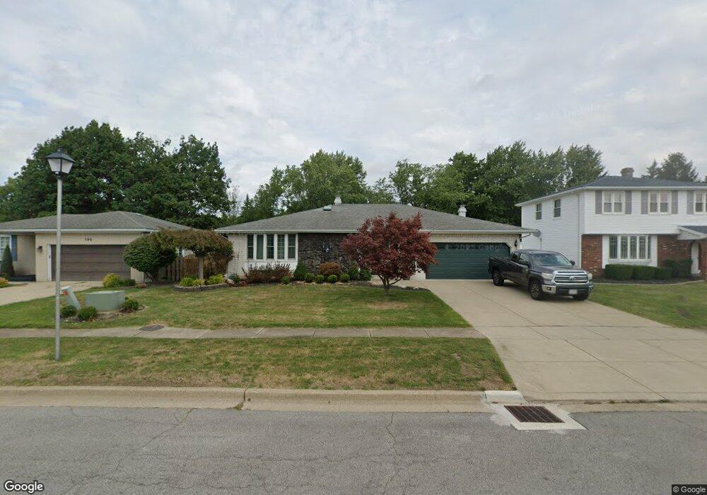
This home is located at 202 Wayside Dr, Depew, NY 14043 and is currently estimated at $436,919, approximately $213 per square foot. 202 Wayside Dr is a home located in Erie County with nearby schools including William Street School, Lancaster Middle School, and Lancaster High School.
Ownership History
Date
Name
Owned For
Owner Type
Purchase Details
Closed on
Nov 12, 2021
Sold by
Nagel Patricia Anne
Bought by
Nagel Drew E and Nagel 2021 Family Trust
Current Estimated Value
Purchase Details
Closed on
Oct 11, 2010
Sold by
Seiler Charles J and Seiler Maureen G
Bought by
Nagel Patricia Anne
Home Financials for this Owner
Home Financials are based on the most recent Mortgage that was taken out on this home.
Original Mortgage
$161,600
Outstanding Balance
$106,856
Interest Rate
4.39%
Mortgage Type
New Conventional
Estimated Equity
$330,063
Create a Home Valuation Report for This Property
The Home Valuation Report is an in-depth analysis detailing your home's value as well as a comparison with similar homes in the area
Home Values in the Area
Average Home Value in this Area
Purchase History
| Date | Buyer | Sale Price | Title Company |
|---|---|---|---|
| Nagel Drew E | -- | None Available | |
| Nagel Patricia Anne | $202,000 | None Available |
Source: Public Records
Mortgage History
| Date | Status | Borrower | Loan Amount |
|---|---|---|---|
| Open | Nagel Patricia Anne | $161,600 |
Source: Public Records
Tax History Compared to Growth
Tax History
| Year | Tax Paid | Tax Assessment Tax Assessment Total Assessment is a certain percentage of the fair market value that is determined by local assessors to be the total taxable value of land and additions on the property. | Land | Improvement |
|---|---|---|---|---|
| 2024 | -- | $250,000 | $22,400 | $227,600 |
| 2023 | $8,509 | $250,000 | $22,400 | $227,600 |
| 2022 | $7,953 | $250,000 | $22,400 | $227,600 |
| 2021 | $5,331 | $250,000 | $22,400 | $227,600 |
| 2020 | $7,862 | $250,000 | $22,400 | $227,600 |
| 2019 | $4,588 | $210,000 | $20,200 | $189,800 |
| 2018 | $7,510 | $210,000 | $20,200 | $189,800 |
| 2017 | $1,811 | $210,000 | $20,200 | $189,800 |
| 2016 | $7,128 | $210,000 | $20,200 | $189,800 |
| 2015 | -- | $210,000 | $20,200 | $189,800 |
| 2014 | -- | $210,000 | $20,200 | $189,800 |
Source: Public Records
Map
Nearby Homes
- 196 Wayside Dr
- 195 Marrano Dr
- 136 Marrano Dr
- 169 Warner Rd Unit 167
- 25 Darwin Dr
- 27 Doehaven Cir
- 435 Columbia Ave
- 15 Old Orchard Common
- 39 Asbury Place
- 343 Olmstead Ave
- 27 Eagle Terrace
- 15 Bridlepath Ln
- 31 Albert St
- 846 Falcon Dr
- V/L Rehm Rd
- 36 Shadyside Ln
- 99 Fairview Dr
- 66 Harlan St
- 28 Kennedy Ct
- 87 Patsy Ln
- 208 Wayside Dr
- 214 Wayside Dr
- 190 Wayside Dr
- 38 Greenmeadow Dr
- 36 Greenmeadow Dr
- 144 Forestview Dr
- 141 Forestview Dr
- 220 Wayside Dr
- 40 Greenmeadow Dr
- 34 Greenmeadow Dr
- 184 Wayside Dr
- 135 Forestview Dr
- 138 Forestview Dr
- 178 Wayside Dr
- 32 Greenmeadow Dr
- 185 Wayside Dr
- 225 Wayside Dr
- 129 Forestview Dr
- 126 Dorset Dr
- 179 Wayside Dr