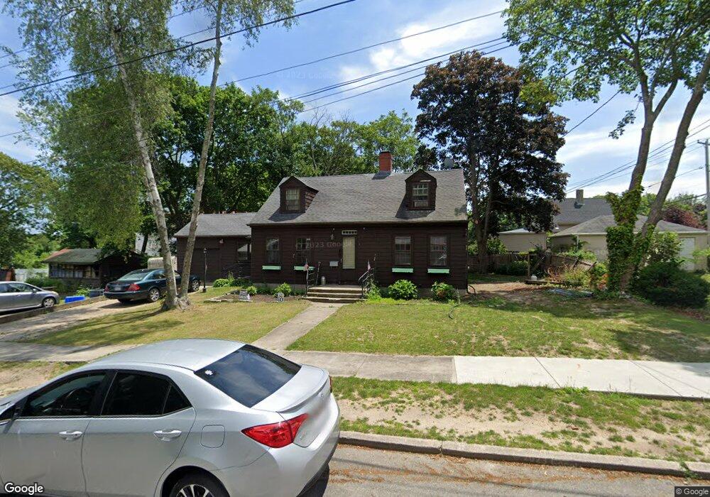
202 Wilbur St New Bedford, MA 02740
Rockdale NeighborhoodEstimated Value: $434,261 - $516,000
3
Beds
3
Baths
1,410
Sq Ft
$335/Sq Ft
Est. Value
About This Home
This home is located at 202 Wilbur St, New Bedford, MA 02740 and is currently estimated at $472,565, approximately $335 per square foot. 202 Wilbur St is a home located in Bristol County with nearby schools including Elizabeth Carter Brooks Elementary School, Keith Middle School, and New Bedford High School.
Ownership History
Date
Name
Owned For
Owner Type
Purchase Details
Closed on
Oct 15, 2024
Sold by
Ryan Linda L
Bought by
Ryan Linda L and Borges Jeremy J
Current Estimated Value
Purchase Details
Closed on
Oct 6, 2015
Sold by
Ryan Michael P
Bought by
Ryan Linda L and Ryan Michael P
Purchase Details
Closed on
Mar 7, 2008
Sold by
Ashley Edmund D Est
Bought by
Ryan Michael P
Home Financials for this Owner
Home Financials are based on the most recent Mortgage that was taken out on this home.
Original Mortgage
$236,988
Interest Rate
5.57%
Mortgage Type
VA
Create a Home Valuation Report for This Property
The Home Valuation Report is an in-depth analysis detailing your home's value as well as a comparison with similar homes in the area
Home Values in the Area
Average Home Value in this Area
Purchase History
| Date | Buyer | Sale Price | Title Company |
|---|---|---|---|
| Ryan Linda L | -- | None Available | |
| Ryan Linda L | -- | None Available | |
| Ryan Linda L | -- | None Available | |
| Ryan Linda L | -- | -- | |
| Ryan Linda L | -- | -- | |
| Ryan Michael P | $232,000 | -- | |
| Ryan Linda L | -- | -- | |
| Ryan Michael P | $232,000 | -- |
Source: Public Records
Mortgage History
| Date | Status | Borrower | Loan Amount |
|---|---|---|---|
| Previous Owner | Ryan Michael P | $236,988 |
Source: Public Records
Tax History Compared to Growth
Tax History
| Year | Tax Paid | Tax Assessment Tax Assessment Total Assessment is a certain percentage of the fair market value that is determined by local assessors to be the total taxable value of land and additions on the property. | Land | Improvement |
|---|---|---|---|---|
| 2025 | $4,426 | $391,300 | $144,500 | $246,800 |
| 2024 | $4,242 | $353,500 | $142,100 | $211,400 |
| 2023 | $4,403 | $308,100 | $122,500 | $185,600 |
| 2022 | $4,143 | $266,600 | $116,500 | $150,100 |
| 2021 | $4,074 | $261,300 | $116,500 | $144,800 |
| 2020 | $4,118 | $254,800 | $116,500 | $138,300 |
| 2019 | $3,992 | $242,400 | $116,500 | $125,900 |
| 2018 | $3,996 | $240,300 | $125,800 | $114,500 |
| 2017 | $3,820 | $228,900 | $123,500 | $105,400 |
| 2016 | $3,631 | $220,200 | $121,200 | $99,000 |
| 2015 | $3,406 | $216,500 | $121,200 | $95,300 |
| 2014 | $3,253 | $214,600 | $121,200 | $93,400 |
Source: Public Records
Map
Nearby Homes
- 1249-1251 Rockdale Ave
- 129 Rowe St
- 818 Hathaway Rd
- 805 Hathaway Rd Unit 809
- 968 Geraldine St Unit 1A
- 48 Valley View Dr
- 5 Spring Hill Rd
- 28 Harvard St
- 0 Middlesex St
- ) Hapwell & Summit St
- 334 Austin St
- 0 Norfolk Ave Unit 73403282
- 194 Robeson St
- 81 Durfee St
- 70 Trinity St
- 71 Highland St
- 41 Tilton St
- 101 Willow St
- 70-72 Highland St
- 177 Buchanan St
- 1338 Rockdale Ave
- 195 Wilbur St
- 203 Wilbur St
- 188 Wilbur St
- 1322 Rockdale Ave
- 1348 Rockdale Ave
- 1329 Rockdale Ave
- 1316 Rockdale Ave
- 1337 Rockdale Ave
- 1319 Rockdale Ave
- 1352 Rockdale Ave
- 174 Wilbur St
- 1345 Rockdale Ave
- 1311 Rockdale Ave
- 275 Gardner St
- 238 Wilbur St
- 238 Wilbur St Unit 1
- 1314 Rockdale Ave
- 1360 Rockdale Ave
- 270 Gardner St