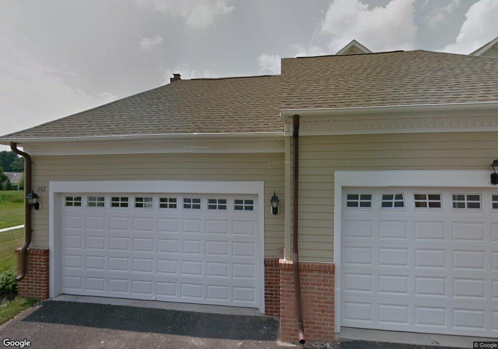
202 Worstall Alley Newtown, PA 18940
Estimated Value: $1,028,000 - $1,237,000
3
Beds
2
Baths
3,685
Sq Ft
$319/Sq Ft
Est. Value
About This Home
This home is located at 202 Worstall Alley, Newtown, PA 18940 and is currently estimated at $1,176,453, approximately $319 per square foot. 202 Worstall Alley is a home with nearby schools including Goodnoe Elementary School, Newtown Middle School, and Council Rock High School North.
Ownership History
Date
Name
Owned For
Owner Type
Purchase Details
Closed on
Oct 16, 2012
Sold by
Toll Pa Xiii Lp
Bought by
Esberg Robert E and Esberg Denise
Current Estimated Value
Home Financials for this Owner
Home Financials are based on the most recent Mortgage that was taken out on this home.
Original Mortgage
$697,424
Outstanding Balance
$467,910
Interest Rate
2.86%
Mortgage Type
New Conventional
Estimated Equity
$708,543
Create a Home Valuation Report for This Property
The Home Valuation Report is an in-depth analysis detailing your home's value as well as a comparison with similar homes in the area
Home Values in the Area
Average Home Value in this Area
Purchase History
| Date | Buyer | Sale Price | Title Company |
|---|---|---|---|
| Esberg Robert E | $872,523 | None Available |
Source: Public Records
Mortgage History
| Date | Status | Borrower | Loan Amount |
|---|---|---|---|
| Open | Esberg Robert E | $697,424 |
Source: Public Records
Tax History Compared to Growth
Tax History
| Year | Tax Paid | Tax Assessment Tax Assessment Total Assessment is a certain percentage of the fair market value that is determined by local assessors to be the total taxable value of land and additions on the property. | Land | Improvement |
|---|---|---|---|---|
| 2025 | $13,015 | $73,230 | -- | $73,230 |
| 2024 | $13,015 | $73,230 | $0 | $73,230 |
| 2023 | $2,604 | $73,230 | $0 | $73,230 |
| 2022 | $12,211 | $73,230 | $0 | $73,230 |
| 2021 | $12,021 | $73,230 | $0 | $73,230 |
| 2020 | $11,442 | $73,230 | $0 | $73,230 |
| 2019 | $11,172 | $73,230 | $0 | $73,230 |
| 2018 | $10,960 | $73,230 | $0 | $73,230 |
| 2017 | $10,580 | $73,230 | $0 | $73,230 |
| 2016 | $10,506 | $73,230 | $0 | $73,230 |
| 2015 | -- | $73,230 | $0 | $73,230 |
| 2014 | -- | $73,230 | $0 | $73,230 |
Source: Public Records
Map
Nearby Homes
- 144 Yeates Alley
- 106 Hicks Alley
- 206 Paxon Alley Unit 51
- 215 Rumford Ct
- 101 N Norwood Ave
- 513 Atwood Ct
- 12 Farmington Place
- 532 Penn St
- 3 Farmington Place
- 2 Farmington Place
- 8 Bennington Place
- 313 Washington Ave
- 35 Essex Place
- 5 Bolton Cir
- 143 N State St
- 113 Penn St
- 200 Fountain Farm Ln Unit 200
- 22 Penn St
- 113 Thorton Ln
- 337 S Lincoln Ave
- 201 Worstall Alley
- 203 Worstall Alley
- 205 Worstall Alley
- 207 Worstall Alley
- 209 Worstall Alley
- 206 Worstall Alley
- 101 Hillborn Dr
- 208 Worstall Alley
- 202 Sebastian Alley
- 204 Sebastian Alley
- 206 Sebastian Alley
- 103 Hillborn Dr Unit 11
- 208 Sebastian Alley
- 210 Sebastian Alley
- 105 Hillborn Dr Unit 10
- 131 Mcginley Alley Unit 94
- 303 Worstall Alley
- 133 Mcginley Alley Unit 93
- 135 Mcginley Alley Unit 92
- 142 Yeates Alley