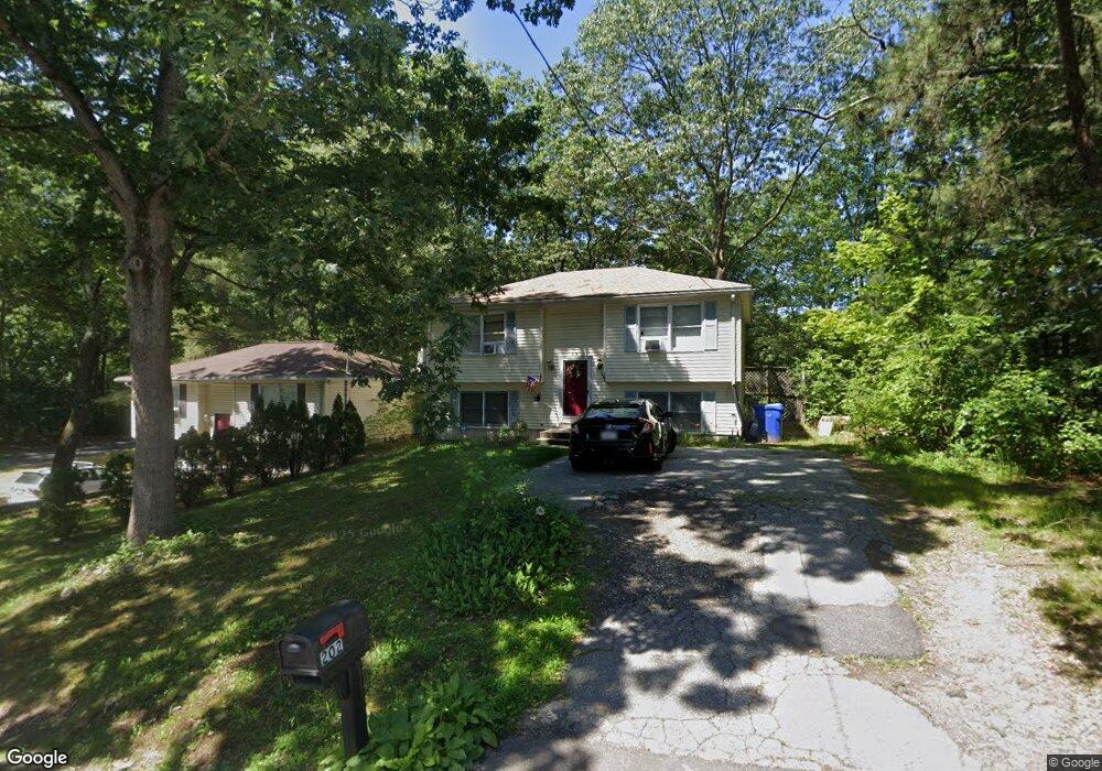
202 Wrentham Rd Springfield, MA 01119
Boston Road NeighborhoodEstimated Value: $310,000 - $363,000
About This Home
This home is located at 202 Wrentham Rd, Springfield, MA 01119 and is currently estimated at $332,374, approximately $200 per square foot. 202 Wrentham Rd is a home located in Hampden County with nearby schools including Warner, M Marcus Kiley Middle, and Springfield Central High School.
Ownership History
We collect this data history from publicly available records. To have your information removed, we recommend requesting removal directly through your county’s website.
Purchase Details
Home Financials for this Owner
Home Financials are based on the most recent Mortgage that was taken out on this home.Home Values in the Area
Average Home Value in this Area
Purchase History
We collect this data history from publicly available records. To have your information removed, we recommend requesting removal directly through your county’s website.
| Date | Buyer | Sale Price | Title Company |
|---|---|---|---|
| $89,500 | -- |
Mortgage History
We collect this data history from publicly available records. To have your information removed, we recommend requesting removal directly through your county’s website.
| Date | Status | Borrower | Loan Amount |
|---|---|---|---|
| Open | $81,000 | ||
| Closed | $66,500 | ||
| Closed | $71,600 |
Tax History
We collect this data history from publicly available records. To have your information removed, we recommend requesting removal directly through your county’s website.
| Year | Tax Paid | Tax Assessment Tax Assessment Total Assessment is a certain percentage of the fair market value that is determined by local assessors to be the total taxable value of land and additions on the property. | Land | Improvement |
|---|---|---|---|---|
| 2025 | $3,923 | $250,200 | $43,000 | $207,200 |
| 2024 | $3,719 | $231,600 | $40,200 | $191,400 |
| 2023 | $3,575 | $209,700 | $38,300 | $171,400 |
| 2022 | $3,527 | $187,400 | $38,300 | $149,100 |
| 2021 | $3,462 | $183,200 | $34,800 | $148,400 |
| 2020 | $3,015 | $154,400 | $34,800 | $119,600 |
| 2019 | $2,995 | $152,200 | $34,800 | $117,400 |
| 2018 | $2,842 | $144,400 | $34,800 | $109,600 |
| 2017 | $2,666 | $135,600 | $34,800 | $100,800 |
| 2016 | $2,570 | $130,700 | $34,800 | $95,900 |
| 2015 | $2,620 | $133,200 | $34,800 | $98,400 |
Map
- 747 N Branch Pkwy
- 121 Merrill Rd
- 679 Parker St
- 40 Better Way
- 37 Parkerview St
- 16 Pioneer Way
- 16 Mobile Home Way
- 110 Parkerview St
- 22 Contessa Dr
- 147 Parkerview St
- 11 Lamplighter Ln
- 70 Shumway St Unit 29
- 57 Tavistock St
- 135 Bulat Dr
- 161 Fernbank Rd
- 63 Hope St
- 224 Nassau Dr
- 201 Nassau Dr
- 144 Nassau Dr
- 264 Nassau Dr
- 208 Wrentham Rd
- 203 Wrentham Rd
- 197 Wrentham Rd
- 193 Wrentham Rd
- 182 Wrentham Rd
- 187 Wrentham Rd
- 146 Grayson Dr
- 198 Lucerne Rd
- 178 Wrentham Rd
- 192 Lucerne Rd
- 177 Wrentham Rd
- 188 Lucerne Rd
- 172 Wrentham Rd
- 152 Grayson Dr
- 182 Lucerne Rd
- 173 Wrentham Rd
- 178 Lucerne Rd
- 167 Wrentham Rd
- 162 Grayson Dr
- 170 Lucerne Rd
Ask me questions while you tour the home.