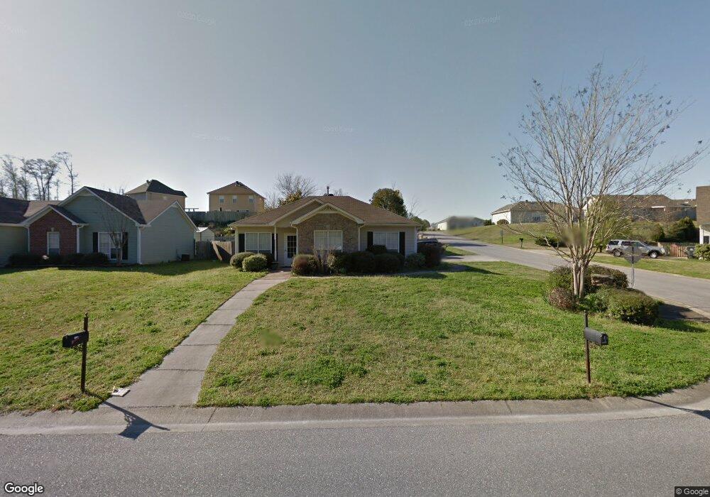
2020 10th Ave Calera, AL 35040
Estimated Value: $196,000 - $212,000
--
Bed
1
Bath
1,199
Sq Ft
$172/Sq Ft
Est. Value
About This Home
This home is located at 2020 10th Ave, Calera, AL 35040 and is currently estimated at $206,130, approximately $171 per square foot. 2020 10th Ave is a home located in Shelby County with nearby schools including Calera Intermediate School, Calera Elementary School, and Calera Middle School.
Ownership History
Date
Name
Owned For
Owner Type
Purchase Details
Closed on
Sep 26, 2005
Sold by
Pyron Ronald H and Pyron Leigh A
Bought by
Embry Kim O and Embry Bonnie C
Current Estimated Value
Home Financials for this Owner
Home Financials are based on the most recent Mortgage that was taken out on this home.
Original Mortgage
$121,099
Outstanding Balance
$64,859
Interest Rate
5.77%
Mortgage Type
FHA
Estimated Equity
$141,271
Purchase Details
Closed on
Oct 28, 1999
Sold by
J E Bishop Homes Inc
Bought by
Pyron Ronald H and Pyron Leigh A
Home Financials for this Owner
Home Financials are based on the most recent Mortgage that was taken out on this home.
Original Mortgage
$60,000
Interest Rate
7%
Create a Home Valuation Report for This Property
The Home Valuation Report is an in-depth analysis detailing your home's value as well as a comparison with similar homes in the area
Home Values in the Area
Average Home Value in this Area
Purchase History
| Date | Buyer | Sale Price | Title Company |
|---|---|---|---|
| Embry Kim O | $123,000 | -- | |
| Pyron Ronald H | $90,250 | -- |
Source: Public Records
Mortgage History
| Date | Status | Borrower | Loan Amount |
|---|---|---|---|
| Open | Embry Kim O | $121,099 | |
| Previous Owner | Pyron Ronald H | $60,000 |
Source: Public Records
Tax History Compared to Growth
Tax History
| Year | Tax Paid | Tax Assessment Tax Assessment Total Assessment is a certain percentage of the fair market value that is determined by local assessors to be the total taxable value of land and additions on the property. | Land | Improvement |
|---|---|---|---|---|
| 2024 | $998 | $18,480 | $0 | $0 |
| 2023 | $899 | $17,400 | $0 | $0 |
| 2022 | $745 | $14,560 | $0 | $0 |
| 2021 | $643 | $12,660 | $0 | $0 |
| 2020 | $589 | $11,660 | $0 | $0 |
| 2019 | $591 | $11,700 | $0 | $0 |
| 2017 | $536 | $10,680 | $0 | $0 |
| 2015 | $515 | $10,300 | $0 | $0 |
| 2014 | $508 | $10,160 | $0 | $0 |
Source: Public Records
Map
Nearby Homes
- 401 Meriweather Ln
- 1003 Meriweather Dr
- 0 19th St Unit 5 21431344
- 518 19th St Unit 7
- 11 and 12 19th St Unit 11 & 12
- 983 Meriweather Dr
- 971 18th St
- 0 16th St Unit 13 21431330
- 0 16th St Unit 12 21431329
- 0 16th St Unit 11 21431327
- 1893 Deborah Dr
- 2138 Turquoise Ln
- 1873 19th St
- 2134 Turquoise Ln
- 616 Klynes Dr
- 604 Klynes Dr
- 608 Klynes Dr
- 612 Klynes Dr
- 620 Klynes Dr
- 624 Klynes Dr
- 2024 10th Ave
- 2028 10th Ave
- 100 Meriweather Way
- 405 Meriweather Ln
- 200 Meriweather Ln
- 409 Meriweather Ln
- 2032 10th Ave
- 2004 10th Ave
- 2004 10th Ave Unit 59
- 2071 10th Ave
- 204 Meriweather Ln
- 2036 10th Ave
- 1990 10th Ave
- 413 Meriweather Ln
- 208 Meriweather Ln
- 400 Meriweather Ln
- 201 Meriweather Ln
- 417 Meriweather Ln
- 420 Meriweather Ln
- 420 Meriweather Ln