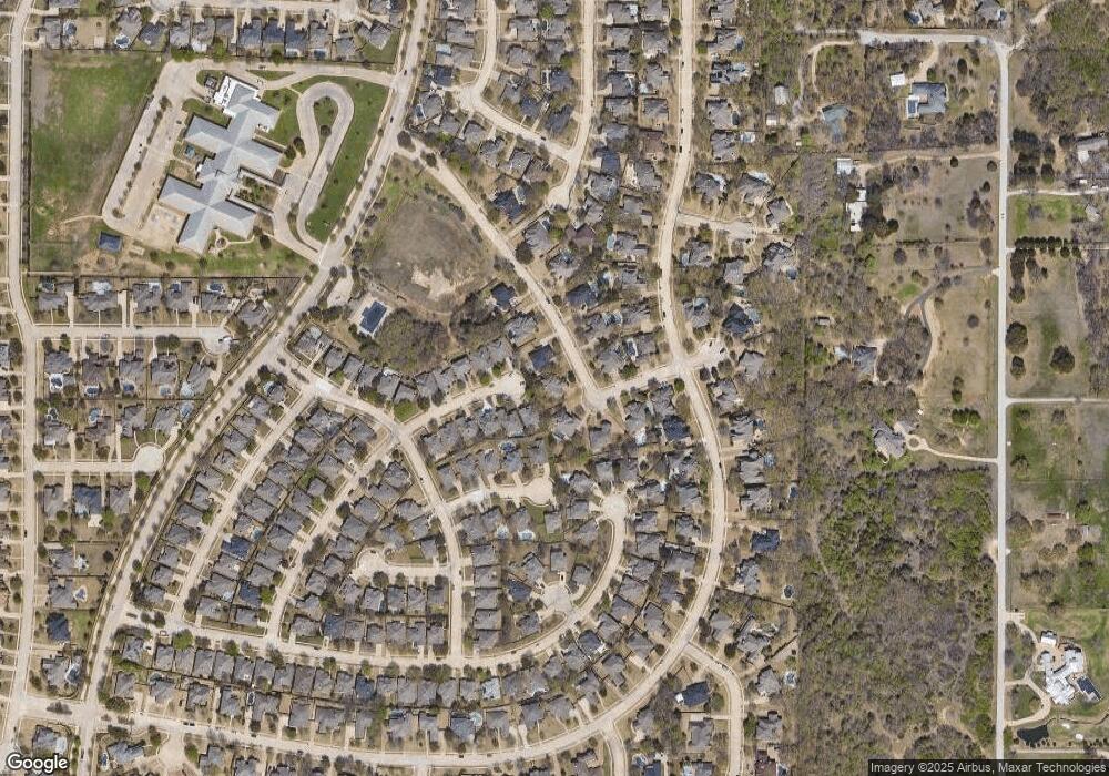
2020 Cedar Ridge Dr Keller, TX 76248
Hidden Lakes NeighborhoodEstimated Value: $823,000 - $896,379
5
Beds
4
Baths
3,904
Sq Ft
$218/Sq Ft
Est. Value
About This Home
This home is located at 2020 Cedar Ridge Dr, Keller, TX 76248 and is currently estimated at $851,595, approximately $218 per square foot. 2020 Cedar Ridge Dr is a home located in Tarrant County with nearby schools including Hidden Lakes Elementary School, Bear Creek Intermediate School, and Keller Middle School.
Ownership History
Date
Name
Owned For
Owner Type
Purchase Details
Closed on
Nov 19, 2007
Sold by
Irwin Wade and Irwin Mary
Bought by
Patterson Ronald R and Patterson Phyllis S
Current Estimated Value
Home Financials for this Owner
Home Financials are based on the most recent Mortgage that was taken out on this home.
Original Mortgage
$394,000
Outstanding Balance
$249,930
Interest Rate
6.43%
Mortgage Type
Purchase Money Mortgage
Estimated Equity
$601,665
Purchase Details
Closed on
Dec 4, 2002
Sold by
Sovereign Texas Homes Ltd
Bought by
Irwin Wade and Irwin Mary
Home Financials for this Owner
Home Financials are based on the most recent Mortgage that was taken out on this home.
Original Mortgage
$220,000
Interest Rate
6.28%
Create a Home Valuation Report for This Property
The Home Valuation Report is an in-depth analysis detailing your home's value as well as a comparison with similar homes in the area
Home Values in the Area
Average Home Value in this Area
Purchase History
| Date | Buyer | Sale Price | Title Company |
|---|---|---|---|
| Patterson Ronald R | -- | Alamo Title Company | |
| Irwin Wade | -- | Republic Title Of Texas Inc |
Source: Public Records
Mortgage History
| Date | Status | Borrower | Loan Amount |
|---|---|---|---|
| Open | Patterson Ronald R | $394,000 | |
| Previous Owner | Irwin Wade | $220,000 |
Source: Public Records
Tax History Compared to Growth
Tax History
| Year | Tax Paid | Tax Assessment Tax Assessment Total Assessment is a certain percentage of the fair market value that is determined by local assessors to be the total taxable value of land and additions on the property. | Land | Improvement |
|---|---|---|---|---|
| 2025 | $4,711 | $768,656 | $130,000 | $638,656 |
| 2024 | $4,711 | $768,656 | $130,000 | $638,656 |
| 2023 | $12,587 | $771,732 | $130,000 | $641,732 |
| 2022 | $13,281 | $602,020 | $130,000 | $472,020 |
| 2021 | $13,628 | $573,022 | $130,000 | $443,022 |
| 2020 | $12,865 | $536,751 | $130,000 | $406,751 |
| 2019 | $13,677 | $543,210 | $110,000 | $433,210 |
| 2018 | $7,563 | $498,579 | $110,000 | $388,579 |
| 2017 | $13,041 | $524,300 | $110,000 | $414,300 |
| 2016 | $11,855 | $460,105 | $50,000 | $410,105 |
| 2015 | $7,570 | $427,200 | $50,000 | $377,200 |
| 2014 | $7,570 | $427,200 | $50,000 | $377,200 |
Source: Public Records
Map
Nearby Homes
- 1105 Elmgrove Ln
- 1302 Briar Ridge Dr
- 9299 Indian Knoll Trail
- 9297 Indian Knoll Trail
- 1324 Briar Ridge Dr
- 803 Renaissance Ct
- 1613 Wingate Ct
- 8601 Buckner Ln
- 611 Goliad Dr
- 715 Misty Ct
- 805 Pond Springs Ct
- 600 Comal Ct
- 8401 Gifford Ln
- 1512 Rockwood Dr
- 8420 Grand View Dr
- 8436 Parkdale Dr
- 2311 Watercrest Dr
- 1105 Keller Smithfield Rd S
- 8200 Beverly Dr
- 1529 Lost Trail
- 2016 Cedar Ridge Dr
- 2024 Cedar Ridge Dr
- 1003 Elmgrove Ct
- 2028 Cedar Ridge Dr
- 1005 Elmgrove Ct
- 2019 Deer Path Ct
- 2025 Cedar Ridge Dr
- 2012 Cedar Ridge Dr
- 1002 Elmgrove Ct
- 2032 Cedar Ridge Dr
- 1007 Elmgrove Ct
- 2017 Deer Path Ct
- 2021 Cedar Ridge Dr
- 2115 Old York Dr
- 2113 Old York Dr
- 1004 Elmgrove Ct
- 2015 Deer Path Ct
- 1009 Elmgrove Ct
- 2114 Old York Dr
- 1012 Briar Ridge Dr
