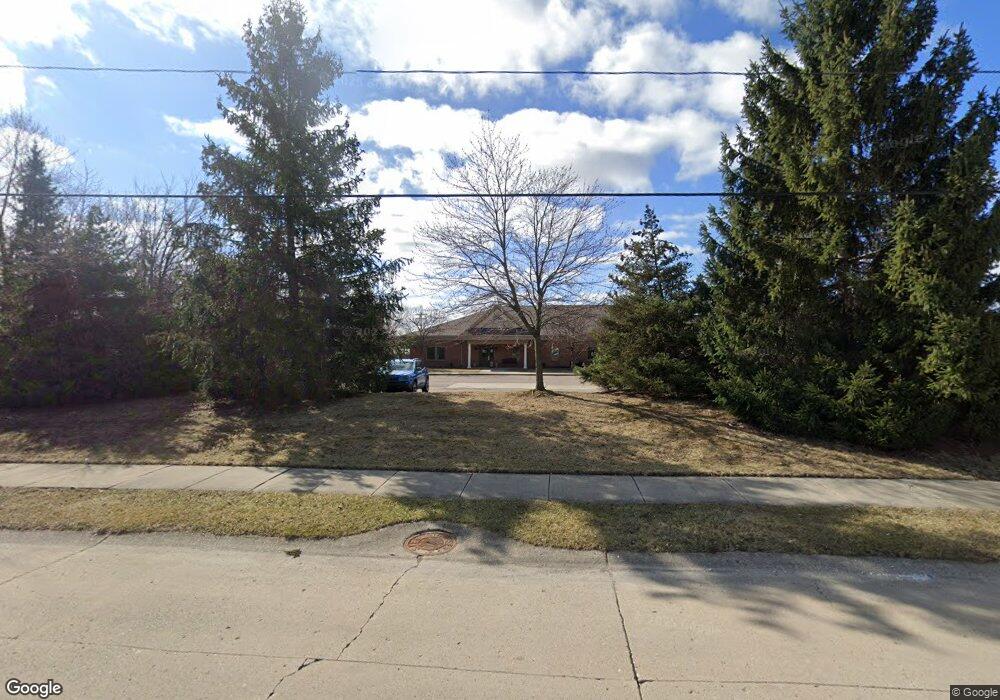
2020 Chesley Dr Unit A Sterling Heights, MI 48310
Estimated Value: $516,900
--
Bed
--
Bath
2,625
Sq Ft
$197/Sq Ft
Est. Value
About This Home
This home is located at 2020 Chesley Dr Unit A, Sterling Heights, MI 48310 and is currently estimated at $516,900, approximately $196 per square foot. 2020 Chesley Dr Unit A is a home located in Macomb County with nearby schools including Susick Elementary School, Grissom Middle School, and Sterling Heights Senior H.S..
Ownership History
Date
Name
Owned For
Owner Type
Purchase Details
Closed on
Nov 21, 2024
Sold by
Cpss Llc
Bought by
Hidayah Quest Llc
Current Estimated Value
Purchase Details
Closed on
Sep 9, 2005
Sold by
Hope Professional Properties Llc
Bought by
Cpss Llc
Create a Home Valuation Report for This Property
The Home Valuation Report is an in-depth analysis detailing your home's value as well as a comparison with similar homes in the area
Home Values in the Area
Average Home Value in this Area
Purchase History
| Date | Buyer | Sale Price | Title Company |
|---|---|---|---|
| Hidayah Quest Llc | $500,000 | None Listed On Document | |
| Hidayah Quest Llc | $500,000 | None Listed On Document | |
| Hidayah Quest Llc | $500,000 | None Listed On Document | |
| Cpss Llc | $367,200 | Alliance Title Agency Llc |
Source: Public Records
Mortgage History
| Date | Status | Borrower | Loan Amount |
|---|---|---|---|
| Closed | Hidayah Quest Llc | $0 |
Source: Public Records
Tax History Compared to Growth
Tax History
| Year | Tax Paid | Tax Assessment Tax Assessment Total Assessment is a certain percentage of the fair market value that is determined by local assessors to be the total taxable value of land and additions on the property. | Land | Improvement |
|---|---|---|---|---|
| 2025 | $8,064 | $174,200 | $0 | $0 |
| 2024 | $7,782 | $161,800 | $0 | $0 |
| 2023 | $7,386 | $159,500 | $0 | $0 |
| 2022 | $7,227 | $148,700 | $0 | $0 |
| 2021 | $7,077 | $145,300 | $0 | $0 |
| 2020 | $6,762 | $158,400 | $0 | $0 |
| 2019 | $6,158 | $160,100 | $0 | $0 |
| 2018 | $6,583 | $151,700 | $0 | $0 |
| 2017 | $6,300 | $134,300 | $23,200 | $111,100 |
| 2016 | $6,158 | $134,300 | $0 | $0 |
| 2015 | -- | $120,800 | $0 | $0 |
| 2014 | -- | $116,600 | $0 | $0 |
Source: Public Records
Map
Nearby Homes
- 2121 Chesley Dr
- 2109 Chesley Dr
- 2987 Chesterfield Dr
- 2846 Teasdale Dr
- 2825 Sherbourne Dr
- 2448 Oakcrest Rd
- 2950 Iowa Dr
- 1714 Castleton Dr
- 2735 E Maple Rd
- 2595 Elmcrest Rd
- 2021 Castleton Dr
- 2936 Wisconsin Rd
- 000 Wisconsin Rd
- 1436 Minnesota Rd
- 2528 Koper Dr
- 2269 Serra Dr
- 2693 Wisconsin Rd
- 3148 Marc Dr
- 2268 Serra Dr
- 1818 Milverton Dr
- 2100 Chesley Dr
- 35200 Dequindre Rd Unit 400, 100
- 35200 Dequindre Rd Unit 400
- 2081 Lindell Rd Unit Bldg-Unit
- 2081 Lindell Rd
- 2132 Chesley Dr
- 2121 Lindell Rd
- 2081 Chesley Dr
- 2154 Chesley Dr
- 2078 Lindell Rd
- 2153 Lindell Rd
- 2090 Lindell Rd
- 2118 Lindell Rd
- 2994 Teasdale Dr
- 2137 Chesley Dr
- 2150 Chesley Dr
- 2130 Lindell Rd Unit Bldg-Unit
- 2130 Lindell Rd
- 2982 Teasdale Dr
- 2211 Lindell Rd