2020 Creekside Ln Victor, ID 83455
Estimated Value: $1,528,831 - $1,926,000
3
Beds
3
Baths
3,766
Sq Ft
$473/Sq Ft
Est. Value
About This Home
This home is located at 2020 Creekside Ln, Victor, ID 83455 and is currently estimated at $1,779,610, approximately $472 per square foot. 2020 Creekside Ln is a home with nearby schools including Driggs Elementary School and Teton High School.
Ownership History
Date
Name
Owned For
Owner Type
Purchase Details
Closed on
Dec 20, 2023
Sold by
Isaacson Randall M and Isaacson Christie L
Bought by
Isaacson Randall M and Isaacson Christie L
Current Estimated Value
Purchase Details
Closed on
Jul 22, 2013
Sold by
Isaacson Randy and Isaacson Christie
Bought by
Isaacson Randall and Isaacson Christie
Home Financials for this Owner
Home Financials are based on the most recent Mortgage that was taken out on this home.
Original Mortgage
$400,000
Interest Rate
3.09%
Mortgage Type
New Conventional
Create a Home Valuation Report for This Property
The Home Valuation Report is an in-depth analysis detailing your home's value as well as a comparison with similar homes in the area
Home Values in the Area
Average Home Value in this Area
Purchase History
| Date | Buyer | Sale Price | Title Company |
|---|---|---|---|
| Isaacson Randall M | -- | None Listed On Document | |
| Isaacson Randall M | -- | None Listed On Document | |
| Isaacson Randall | -- | First American Title |
Source: Public Records
Mortgage History
| Date | Status | Borrower | Loan Amount |
|---|---|---|---|
| Previous Owner | Isaacson Randall | $400,000 |
Source: Public Records
Tax History Compared to Growth
Tax History
| Year | Tax Paid | Tax Assessment Tax Assessment Total Assessment is a certain percentage of the fair market value that is determined by local assessors to be the total taxable value of land and additions on the property. | Land | Improvement |
|---|---|---|---|---|
| 2025 | $3,068 | $1,103,300 | $228,000 | $875,300 |
| 2024 | $3,068 | $1,086,800 | $211,500 | $875,300 |
| 2023 | $3,068 | $1,041,383 | $177,700 | $863,683 |
| 2022 | $3,335 | $920,413 | $169,200 | $751,213 |
| 2021 | $3,406 | $623,585 | $105,800 | $517,785 |
| 2020 | $3,439 | $511,569 | $91,400 | $420,169 |
| 2019 | $3,375 | $511,569 | $91,400 | $420,169 |
| 2018 | $2,964 | $432,089 | $91,368 | $340,721 |
| 2017 | $2,781 | $432,089 | $91,368 | $340,721 |
| 2016 | $2,736 | $407,566 | $106,596 | $300,970 |
| 2015 | $2,814 | $367,815 | $106,596 | $261,219 |
| 2011 | -- | $331,521 | $177,660 | $153,861 |
Source: Public Records
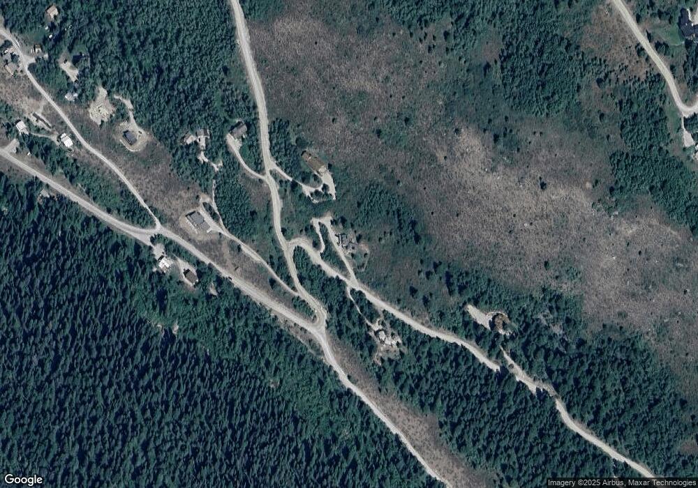
Map
Nearby Homes
- 2040 Creekside Ln
- 3171 Canyon Crest Dr
- 3040 Canyon Crest Dr
- 3191 Canyon Crest Dr
- 2077 Highland Way
- 3060 Canyon Crest Dr
- 4821 S 2000 E
- TBD 1780 E 5250 S
- 3550 Sorensen Creek Dr
- 3190 Sorensen Creek Dr
- 3642 Sorensen Creek Parcel 1
- 4935 W Skyline
- 4722 S 1000 E
- 1460 Cherry Grove Ln
- 2020 Cherry Grove Ln
- 557 Turtle Walk
- 575 Silver Fox Ln
- 555 Silver Fox Ln
- 7513 Reserve Dr
- 6477 Trumpet Swan Cir
- 2040 Creekside Dr
- 3011 Canyon Crest Dr
- 2011 Creekside Ln
- 5170 Meandering Moose Dr
- 3020 Canyon Crest Dr
- 2060 Creekside Ln
- 2333 E 5000 S
- 32 Canyon Crest Dr
- 33 Canyon Crest Dr
- 237 Canyon Crest Dr
- 227 Canyon Crest Dr
- 5064 Meandering Moose Dr
- 3031 Canyon Crest Dr
- 2229 Beaver Dick Ln
- 3151 Canyon Crest Dr
- 224 Highland Way
- 217 Highland Way
- 3091 Canyon Crest Dr
- TBD Fox Creek Rd
- 197 Highland Way