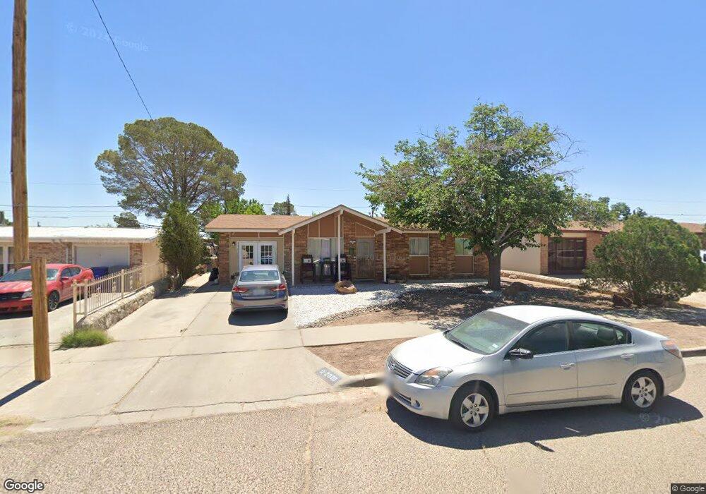
2020 Diciembre Dr El Paso, TX 79935
Pico Norte NeighborhoodEstimated Value: $147,000 - $195,000
--
Bed
2
Baths
1,008
Sq Ft
$171/Sq Ft
Est. Value
About This Home
This home is located at 2020 Diciembre Dr, El Paso, TX 79935 and is currently estimated at $172,085, approximately $170 per square foot. 2020 Diciembre Dr is a home located in El Paso County with nearby schools including Vista Hills Elementary School, J M Hanks High School, and St. Raphael School.
Ownership History
Date
Name
Owned For
Owner Type
Purchase Details
Closed on
Nov 12, 1994
Sold by
Arevalo Sylvia P and Martinez Jose R
Bought by
Rosario M Veronica
Current Estimated Value
Home Financials for this Owner
Home Financials are based on the most recent Mortgage that was taken out on this home.
Original Mortgage
$51,073
Interest Rate
9.13%
Mortgage Type
FHA
Create a Home Valuation Report for This Property
The Home Valuation Report is an in-depth analysis detailing your home's value as well as a comparison with similar homes in the area
Home Values in the Area
Average Home Value in this Area
Purchase History
| Date | Buyer | Sale Price | Title Company |
|---|---|---|---|
| Rosario M Veronica | -- | -- | |
| Rosario M Veronica | -- | -- |
Source: Public Records
Mortgage History
| Date | Status | Borrower | Loan Amount |
|---|---|---|---|
| Previous Owner | Rosario M Veronica | $51,073 | |
| Previous Owner | Rosario M Veronica | $48,500 |
Source: Public Records
Tax History Compared to Growth
Tax History
| Year | Tax Paid | Tax Assessment Tax Assessment Total Assessment is a certain percentage of the fair market value that is determined by local assessors to be the total taxable value of land and additions on the property. | Land | Improvement |
|---|---|---|---|---|
| 2025 | $1,932 | $143,154 | -- | -- |
| 2024 | $1,932 | $130,140 | -- | -- |
| 2023 | $1,864 | $118,309 | $0 | $0 |
| 2022 | $3,340 | $107,554 | $0 | $0 |
| 2021 | $3,178 | $104,033 | $20,138 | $83,895 |
| 2020 | $2,808 | $88,887 | $18,279 | $70,608 |
| 2018 | $2,709 | $87,127 | $18,279 | $68,848 |
| 2017 | $2,720 | $88,999 | $18,279 | $70,720 |
| 2016 | $2,720 | $88,999 | $18,279 | $70,720 |
| 2015 | $2,138 | $88,999 | $18,279 | $70,720 |
| 2014 | $2,138 | $92,693 | $18,279 | $74,414 |
Source: Public Records
Map
Nearby Homes
- 2000 Solano Dr
- 1844 Jack Nicklaus Dr Unit 1846
- 2109 Febrero Dr
- 2313 Frank Beard Dr
- 2153 Trawood Dr
- 2201 Trawood Dr
- 2105 Pacheco Dr
- 2325 Ken Venturi Ln
- 2009 Bobby Jones Dr Unit B
- 2001 Bobby Jones Dr Unit A
- 1901 Bobby Jones Dr
- 2224 Escarpa Dr
- 11012 Bob Stone Dr
- 11016 Bob Stone Dr
- 11013 Bob Stone Dr
- 10916 Miller Barber Dr
- 1730 Bara Dr
- 11008 Johnny Miller Dr
- 1955 Trawood Dr Unit 12
- 1644 Lomaland Dr Unit 169
- 2024 Diciembre Dr
- 2018 Diciembre Dr
- 2025 Solano Dr
- 2029 Solano Dr
- 2016 Diciembre Dr
- 2028 Diciembre Dr
- 2021 Solano Dr
- 2033 Solano Dr
- 2021 Diciembre Dr
- 2017 Solano Dr
- 2025 Diciembre Dr
- 2012 Diciembre Dr
- 2032 Diciembre Dr
- 2017 Diciembre Dr
- 2037 Solano Dr
- 2029 Diciembre Dr
- 2013 Solano Dr
- 2013 Diciembre Dr
- 2033 Diciembre Dr
- 2008 Diciembre Dr