2020 Ednor Rd Silver Spring, MD 20905
Ashton-Sandy Spring NeighborhoodEstimated Value: $787,000 - $958,000
4
Beds
4
Baths
4,495
Sq Ft
$196/Sq Ft
Est. Value
About This Home
This home is located at 2020 Ednor Rd, Silver Spring, MD 20905 and is currently estimated at $879,919, approximately $195 per square foot. 2020 Ednor Rd is a home located in Montgomery County with nearby schools including Cloverly Elementary School, William H. Farquhar Middle School, and James Hubert Blake High School.
Ownership History
Date
Name
Owned For
Owner Type
Purchase Details
Closed on
Oct 31, 2011
Sold by
Slagle Randall A and Slagle Janet W
Bought by
Chan Sic Lung and Fu Weiming
Current Estimated Value
Home Financials for this Owner
Home Financials are based on the most recent Mortgage that was taken out on this home.
Original Mortgage
$417,000
Outstanding Balance
$284,216
Interest Rate
4.01%
Mortgage Type
New Conventional
Estimated Equity
$595,703
Purchase Details
Closed on
Sep 28, 1992
Bought by
Slagle Randall A and J W
Create a Home Valuation Report for This Property
The Home Valuation Report is an in-depth analysis detailing your home's value as well as a comparison with similar homes in the area
Home Values in the Area
Average Home Value in this Area
Purchase History
| Date | Buyer | Sale Price | Title Company |
|---|---|---|---|
| Chan Sic Lung | $570,000 | None Available | |
| Slagle Randall A | $377,300 | -- |
Source: Public Records
Mortgage History
| Date | Status | Borrower | Loan Amount |
|---|---|---|---|
| Open | Chan Sic Lung | $417,000 |
Source: Public Records
Tax History
| Year | Tax Paid | Tax Assessment Tax Assessment Total Assessment is a certain percentage of the fair market value that is determined by local assessors to be the total taxable value of land and additions on the property. | Land | Improvement |
|---|---|---|---|---|
| 2025 | $7,349 | $610,500 | -- | -- |
| 2024 | $7,349 | $570,600 | $0 | $0 |
| 2023 | $6,154 | $530,700 | $247,100 | $283,600 |
| 2022 | $5,812 | $525,367 | $0 | $0 |
| 2021 | $5,592 | $520,033 | $0 | $0 |
| 2020 | $5,592 | $514,700 | $247,100 | $267,600 |
| 2019 | $5,570 | $514,700 | $247,100 | $267,600 |
| 2018 | $5,572 | $514,700 | $247,100 | $267,600 |
| 2017 | $5,731 | $519,600 | $0 | $0 |
| 2016 | -- | $514,600 | $0 | $0 |
| 2015 | $6,654 | $509,600 | $0 | $0 |
| 2014 | $6,654 | $504,600 | $0 | $0 |
Source: Public Records
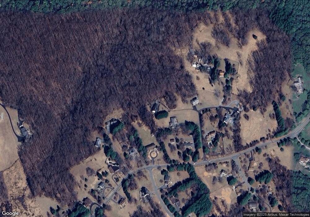
Map
Nearby Homes
- 1325 Patuxent Dr
- 12425 Hill Crest
- 1216 Ashton Rd
- 1625 Ashton Rd
- 1400 Spencerville Rd
- 1225 Spencerville Rd
- 2307 Spencerville Rd
- 16612 Medinah Ct
- 8502 Lallybroch Ln
- 8500 Lallybroch Ln
- 8541 Lallybroch Ln
- 12194 Nicolar Dr
- 12150 Nicolar Dr
- 12152 Nicolar Dr
- 12153 Nicolar Dr
- 12155 Nicolar Dr
- 12174 Nicolar Dr
- 12176 Nicolar Dr
- 12182 Nicolar Dr
- 12200 Nicolar Dr
- 2010 Ednor Rd
- 2030 Ednor Rd
- 1916 Ednor Rd
- 1924 Ednor Rd
- 2000 Ednor Rd
- 1920 Ednor Rd
- 2120 Ednor Rd
- 1912 Ednor Rd
- 2100 Ednor Rd
- 1908 Ednor Rd
- 17313 Twin Ridge Ct
- 2110 Ednor Rd
- 17308 Twin Ridge Ct
- 1904 Ednor Rd
- 17309 Twin Ridge Ct
- 17408 Rocky Gorge Ct
- 1901 Ednor Rd
- 2130 Ednor Rd
- 17409 Rocky Gorge Ct
- 1802 Ednor Rd
Your Personal Tour Guide
Ask me questions while you tour the home.