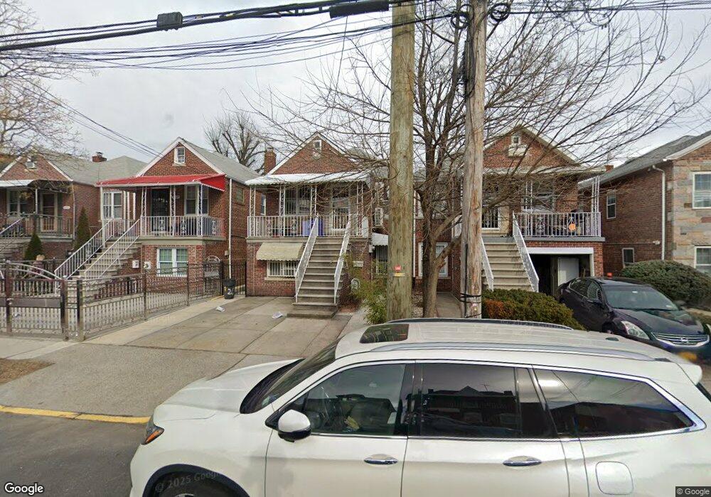
2020 Hone Ave Bronx, NY 10461
Morris Park NeighborhoodEstimated Value: $757,000 - $819,000
Studio
--
Bath
1,950
Sq Ft
$403/Sq Ft
Est. Value
About This Home
This home is located at 2020 Hone Ave, Bronx, NY 10461 and is currently estimated at $785,696, approximately $402 per square foot. 2020 Hone Ave is a home located in Bronx County with nearby schools including P.S. 083 The Donald Hertz School, Emblaze Academy Charter School, and St. Clare of Assisi School.
Ownership History
Date
Name
Owned For
Owner Type
Purchase Details
Closed on
Jan 16, 2016
Sold by
Dinh Nhung C and Nguyen Rachel
Bought by
Dinh Nhung C
Current Estimated Value
Purchase Details
Closed on
Nov 1, 2005
Sold by
Curto Antoinette
Bought by
Troise Joseph J
Purchase Details
Closed on
Jul 24, 2003
Sold by
Lopreto Carmela
Bought by
Lopreto Carmela and Curto Antoinette
Purchase Details
Closed on
Mar 15, 2000
Sold by
Bimby L Teena and Estate Of Diane Novissimo
Bought by
Lopreto Carmela
Create a Home Valuation Report for This Property
The Home Valuation Report is an in-depth analysis detailing your home's value as well as a comparison with similar homes in the area
Home Values in the Area
Average Home Value in this Area
Purchase History
| Date | Buyer | Sale Price | Title Company |
|---|---|---|---|
| Dinh Nhung C | -- | -- | |
| Dinh Nhung C | -- | -- | |
| Troise Joseph J | -- | -- | |
| Troise Joseph J | -- | -- | |
| Lopreto Carmela | -- | -- | |
| Lopreto Carmela | -- | -- | |
| Lopreto Carmela | -- | -- | |
| Lopreto Carmela | -- | -- |
Source: Public Records
Tax History
| Year | Tax Paid | Tax Assessment Tax Assessment Total Assessment is a certain percentage of the fair market value that is determined by local assessors to be the total taxable value of land and additions on the property. | Land | Improvement |
|---|---|---|---|---|
| 2025 | $6,643 | $35,597 | $7,932 | $27,665 |
| 2024 | $6,643 | $34,474 | $7,027 | $27,447 |
| 2023 | $6,717 | $34,474 | $6,991 | $27,483 |
| 2022 | $6,037 | $47,760 | $9,600 | $38,160 |
| 2021 | $6,314 | $38,760 | $9,600 | $29,160 |
| 2020 | $5,983 | $39,060 | $9,600 | $29,460 |
| 2019 | $5,717 | $39,300 | $9,600 | $29,700 |
| 2018 | $5,559 | $28,728 | $7,648 | $21,080 |
| 2017 | $5,362 | $27,775 | $8,401 | $19,374 |
| 2016 | $4,928 | $26,203 | $9,358 | $16,845 |
| 2015 | $3,064 | $24,720 | $10,680 | $14,040 |
| 2014 | $3,064 | $23,940 | $10,680 | $13,260 |
Source: Public Records
Map
Nearby Homes
- 1059 Neill Ave
- 1054 Lydig Ave
- 1100 Neill Ave
- 2019 Colden Ave
- 1942 Haight Ave
- 2037 Radcliff Ave
- 1917 Haight Ave
- - Lydig Ave
- 2004 Bogart Ave
- 1912 Haight Ave
- 1116 Rhinelander Ave
- 1850 Hone Ave
- 2129 Muliner Ave
- 2080 Matthews Ave
- 1833 Hone Ave
- 1863 Williamsbridge Rd
- 1831 Paulding Ave
- 2090 Barnes Ave Unit 3G
- 2090 Barnes Ave Unit 4D
- 2080 Barnes Ave Unit 5B
- 2024 Hone Ave
- 2018 Hone Ave
- 2026 Hone Ave
- 2014 Hone Ave
- 2030 Hone Ave
- 2017 Lurting Ave
- 2013 Lurting Ave
- 2019 Lurting Ave
- 2034 Hone Ave
- 2023 Lurting Ave
- 2023 Lurting Ave
- 2025 Lurting Ave
- 2011 Lurting Ave Unit 3
- 2011 Lurting Ave
- 1055 Neill Ave
- 1053 Neill Ave
- 2027 Lurting Ave
- 2036 Hone Ave
- 1057 Neill Ave
- 2031 Lurting Ave
Your Personal Tour Guide
Ask me questions while you tour the home.