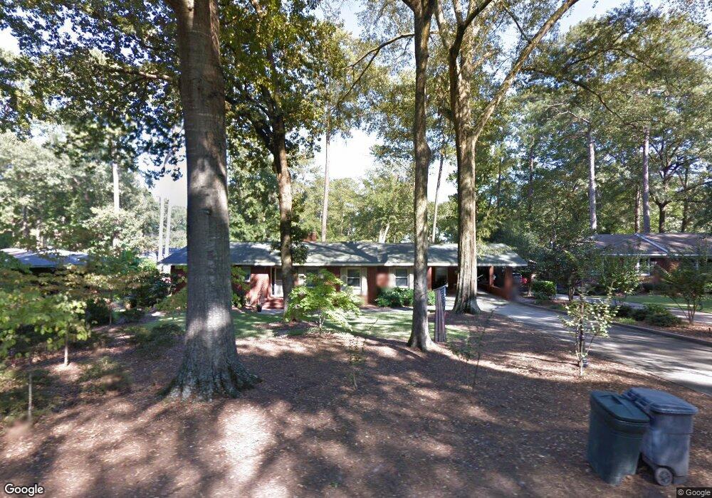
2020 Iris Dr Columbus, GA 31906
Wynnton Grove NeighborhoodEstimated Value: $229,000 - $254,000
2
Beds
2
Baths
1,566
Sq Ft
$152/Sq Ft
Est. Value
About This Home
This home is located at 2020 Iris Dr, Columbus, GA 31906 and is currently estimated at $238,607, approximately $152 per square foot. 2020 Iris Dr is a home located in Muscogee County with nearby schools including Clubview Elementary School, Richards Middle School, and Hardaway High School.
Ownership History
Date
Name
Owned For
Owner Type
Purchase Details
Closed on
Oct 27, 2020
Sold by
Thomas Robert W
Bought by
Parker Richard P and Parker Pamela N
Current Estimated Value
Home Financials for this Owner
Home Financials are based on the most recent Mortgage that was taken out on this home.
Original Mortgage
$155,705
Outstanding Balance
$138,555
Interest Rate
2.8%
Mortgage Type
New Conventional
Estimated Equity
$100,052
Purchase Details
Closed on
Jan 27, 2015
Sold by
Deboe Michael John
Bought by
Thomas Robert W
Create a Home Valuation Report for This Property
The Home Valuation Report is an in-depth analysis detailing your home's value as well as a comparison with similar homes in the area
Home Values in the Area
Average Home Value in this Area
Purchase History
| Date | Buyer | Sale Price | Title Company |
|---|---|---|---|
| Parker Richard P | $163,900 | -- | |
| Thomas Robert W | -- | -- |
Source: Public Records
Mortgage History
| Date | Status | Borrower | Loan Amount |
|---|---|---|---|
| Open | Parker Richard P | $155,705 |
Source: Public Records
Tax History
| Year | Tax Paid | Tax Assessment Tax Assessment Total Assessment is a certain percentage of the fair market value that is determined by local assessors to be the total taxable value of land and additions on the property. | Land | Improvement |
|---|---|---|---|---|
| 2025 | $1,890 | $83,316 | $17,976 | $65,340 |
| 2024 | $1,889 | $83,316 | $17,976 | $65,340 |
| 2023 | $1,207 | $83,316 | $17,976 | $65,340 |
| 2022 | $1,970 | $67,872 | $17,976 | $49,896 |
| 2021 | $1,963 | $61,472 | $17,976 | $43,496 |
| 2020 | $2,511 | $61,472 | $17,976 | $43,496 |
| 2019 | $2,519 | $61,472 | $17,976 | $43,496 |
| 2018 | $2,519 | $61,472 | $17,976 | $43,496 |
| 2017 | $2,527 | $61,472 | $17,976 | $43,496 |
| 2016 | $2,095 | $50,790 | $11,200 | $39,590 |
| 2015 | $839 | $50,790 | $11,200 | $39,590 |
| 2014 | $156 | $50,790 | $11,200 | $39,590 |
| 2013 | -- | $50,790 | $11,200 | $39,590 |
Source: Public Records
Map
Nearby Homes
- 1805 Iris Dr
- 1712 Marilon Dr
- 2904 Iris Ct
- 2637 Sue MacK Dr
- 1500 Preston Dr
- 1534 Dixon Dr
- 2917 Gardenia St
- 2911 Gardenia St
- 2008 Stark Ave
- 2916 Gardenia St
- 1513 Wells Dr
- 2868 Lynda Ln
- 2108 Young St
- 2969 Roswell Ln
- 3474 Melrose Dr
- 2930 Sue MacK Dr
- 2114 Forest Ct
- 2243 14th St
- 1164 Tate Dr
- 240 Kildee Dr
Your Personal Tour Guide
Ask me questions while you tour the home.