2020 Little Eagle Dr Hammonton, NJ 08037
Estimated Value: $552,709
Studio
--
Bath
1,872
Sq Ft
$295/Sq Ft
Est. Value
About This Home
This home is located at 2020 Little Eagle Dr, Hammonton, NJ 08037 and is currently estimated at $552,709, approximately $295 per square foot. 2020 Little Eagle Dr is a home located in Atlantic County with nearby schools including Joseph Shaner School, George L. Hess Educational Complex, and William Davies Middle School.
Ownership History
Date
Name
Owned For
Owner Type
Purchase Details
Closed on
Jul 25, 1994
Sold by
Bradway Steven
Bought by
Heuber Fred and Boone Heather
Current Estimated Value
Home Financials for this Owner
Home Financials are based on the most recent Mortgage that was taken out on this home.
Original Mortgage
$123,000
Interest Rate
8.25%
Purchase Details
Closed on
Aug 15, 1991
Sold by
Ravel Kenneth
Bought by
Bradway Carol
Create a Home Valuation Report for This Property
The Home Valuation Report is an in-depth analysis detailing your home's value as well as a comparison with similar homes in the area
Home Values in the Area
Average Home Value in this Area
Purchase History
| Date | Buyer | Sale Price | Title Company |
|---|---|---|---|
| Heuber Fred | $137,000 | -- | |
| Bradway Carol | $140,000 | -- |
Source: Public Records
Mortgage History
| Date | Status | Borrower | Loan Amount |
|---|---|---|---|
| Closed | Heuber Fred | $123,000 |
Source: Public Records
Tax History
| Year | Tax Paid | Tax Assessment Tax Assessment Total Assessment is a certain percentage of the fair market value that is determined by local assessors to be the total taxable value of land and additions on the property. | Land | Improvement |
|---|---|---|---|---|
| 2025 | -- | $226,100 | $55,000 | $171,100 |
| 2024 | -- | $226,100 | $55,000 | $171,100 |
| 2023 | -- | $226,100 | $55,000 | $171,100 |
| 2022 | $0 | $226,100 | $55,000 | $171,100 |
| 2021 | $0 | $226,100 | $55,000 | $171,100 |
| 2020 | $8,872 | $226,100 | $55,000 | $171,100 |
| 2019 | $0 | $226,100 | $55,000 | $171,100 |
| 2018 | $0 | $226,100 | $55,000 | $171,100 |
| 2017 | $0 | $226,100 | $55,000 | $171,100 |
| 2016 | $0 | $226,100 | $55,000 | $171,100 |
| 2015 | $6,507 | $226,100 | $55,000 | $171,100 |
| 2014 | $6,413 | $244,100 | $62,500 | $181,600 |
Source: Public Records
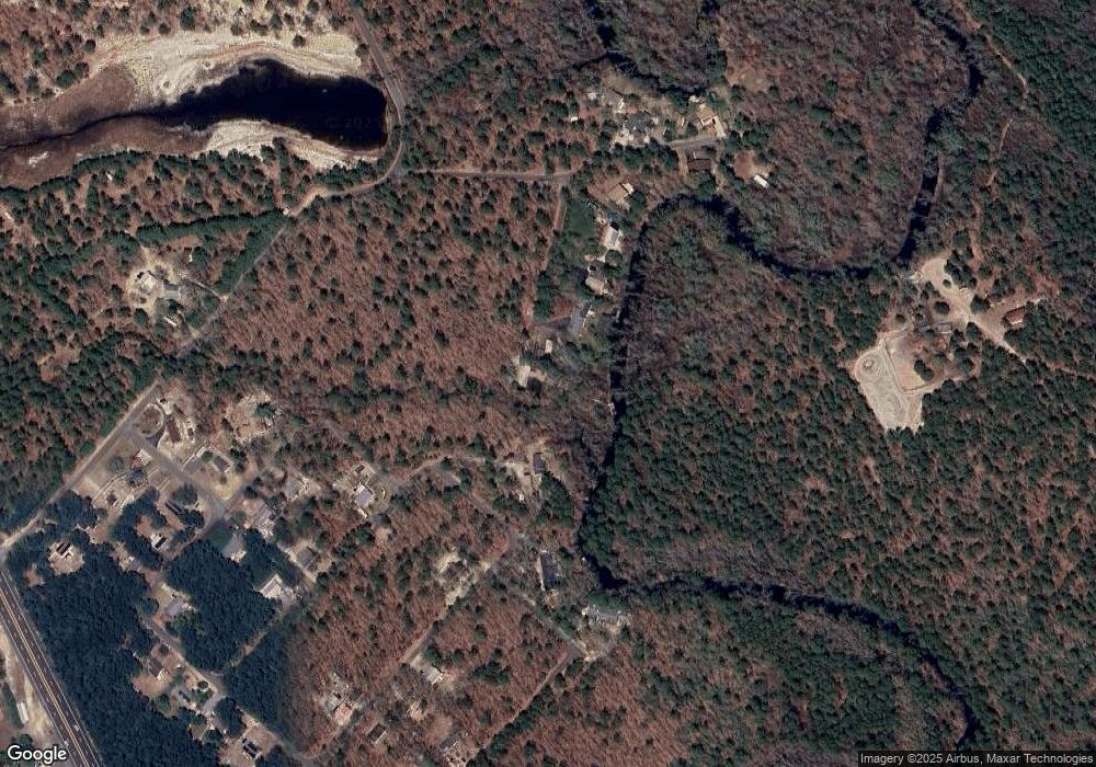
Map
Nearby Homes
- 2015 High Bank Rd
- 7423 Driftwood Ln
- 1853 Mccall Ave
- 2216 Evergreen Dr
- 2212 Evergreen Dr
- 3116 N Pinewood Dr
- First 1st Ave
- 1307 Black Horse Pike
- 7571 Strand Ave
- 1528 Mays Landing Rd
- 1206 Black Horse Park
- 351 9th St
- 7610 Venice Blvd
- 0 Belmont Ave Unit 604815
- 534 10th St
- 720 6th Rd
- 716 6th Rd
- 909 8th St
- 2851 Front St
- 1101 Black Horse Pike
- 2010 Winding Way
- 2024 Little Eagle Dr
- 2026 Little Eagle Dr
- 2014 Winding Way
- 2020 Ballard Dr
- 2030 Ballard Dr
- 2011 Bear Claw Ln
- 2016 Winding Way
- 2034 Ballard Dr
- 2010 Blue Fox Ln
- 2029 Ballard Dr
- 2031 Ballard Dr
- 2009 Deer Track Ln
- 2007 Bear Claw Ln
- 2008 Deer Track Ln
- 2033 Ballard Dr
- 2008 Blue Fox Ln
- 2011 Blue Fox Ln
- 2006 Deer Track Ln
- 2008 Lawrence Ln
Your Personal Tour Guide
Ask me questions while you tour the home.