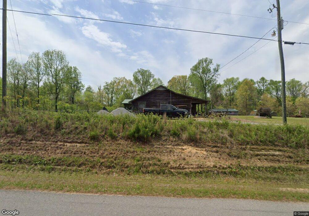
2020 Loop Rd Steele, AL 35987
Estimated Value: $313,000 - $426,000
3
Beds
2
Baths
1,676
Sq Ft
$206/Sq Ft
Est. Value
About This Home
This home is located at 2020 Loop Rd, Steele, AL 35987 and is currently estimated at $345,235, approximately $205 per square foot. 2020 Loop Rd is a home located in St. Clair County with nearby schools including Steele Elementary School and Ashville High School.
Ownership History
Date
Name
Owned For
Owner Type
Purchase Details
Closed on
Jun 9, 2010
Sold by
Reed Travis
Bought by
Eason Alan C
Current Estimated Value
Home Financials for this Owner
Home Financials are based on the most recent Mortgage that was taken out on this home.
Original Mortgage
$166,250
Outstanding Balance
$111,421
Interest Rate
4.97%
Mortgage Type
New Conventional
Estimated Equity
$233,814
Purchase Details
Closed on
Jun 4, 2010
Sold by
Reed Travis
Bought by
Eason Alan C
Home Financials for this Owner
Home Financials are based on the most recent Mortgage that was taken out on this home.
Original Mortgage
$166,250
Outstanding Balance
$111,421
Interest Rate
4.97%
Mortgage Type
New Conventional
Estimated Equity
$233,814
Create a Home Valuation Report for This Property
The Home Valuation Report is an in-depth analysis detailing your home's value as well as a comparison with similar homes in the area
Home Values in the Area
Average Home Value in this Area
Purchase History
| Date | Buyer | Sale Price | Title Company |
|---|---|---|---|
| Eason Alan C | $175,000 | -- | |
| Eason Alan C | $175,000 | -- |
Source: Public Records
Mortgage History
| Date | Status | Borrower | Loan Amount |
|---|---|---|---|
| Open | Eason Alan C | $166,250 | |
| Closed | Eason Alan C | $166,250 |
Source: Public Records
Tax History
| Year | Tax Paid | Tax Assessment Tax Assessment Total Assessment is a certain percentage of the fair market value that is determined by local assessors to be the total taxable value of land and additions on the property. | Land | Improvement |
|---|---|---|---|---|
| 2024 | $589 | $41,106 | $13,080 | $28,026 |
| 2023 | $589 | $34,880 | $12,022 | $22,858 |
| 2022 | $499 | $17,249 | $5,680 | $11,569 |
| 2021 | $501 | $17,254 | $5,685 | $11,569 |
| 2020 | $501 | $17,267 | $5,697 | $11,570 |
| 2019 | $501 | $17,267 | $5,697 | $11,570 |
| 2018 | $450 | $15,840 | $0 | $0 |
| 2017 | $411 | $15,300 | $0 | $0 |
| 2016 | $427 | $15,300 | $0 | $0 |
| 2015 | $411 | $14,540 | $0 | $0 |
| 2014 | $411 | $14,800 | $0 | $0 |
Source: Public Records
Map
Nearby Homes
- 3074 Beason Cove Rd
- 0 County Road 42 Unit 26157833
- 0 County Road 42 Unit 21442134
- 0 Sumatanga Rd
- 1850 Pleasant Valley Rd
- 0 Legion Dr Unit 893391
- 0 Legion Dr Unit 19987726
- 0 Highway 11 Unit 21427361
- 61 Hartsfield Dr
- 2405 Cliff Springs Rd
- 0 Cliff Springs Rd Unit 21429334
- 0 Cliff Springs Rd Unit 24577101
- 19099 US Highway 11
- 185 Herb Collette Dr
- 3649 Pope Ave
- 0 Sweatt Rd Unit 21415006
- 620 Washburn Dr
- 0 Pine St
- 4186 Pope Ave
- 75 Moore St
- 1908 Loop Rd
- 2261 Loop Rd
- 1850 Loop Rd
- 280 Brothers Rd
- 0 Brothers Rd Unit 499071
- 0 Brothers Rd Unit 1 831747
- 270 Brothers Rd
- 2640 Loop Rd
- 1120 Loop Rd Unit 1
- 1125 Loop Rd
- 3052 Loop Rd
- 2914 Loop Rd
- 2914 Loop Rd
- 1063 Loop Rd
- 999 Loop Rd
- 2824 Loop Rd
- 3804 County Road 42 Unit 6.91 acres
- 2278 County Road 42
- 1869 County Road 42
- 3355 Beason Cove Rd
Your Personal Tour Guide
Ask me questions while you tour the home.