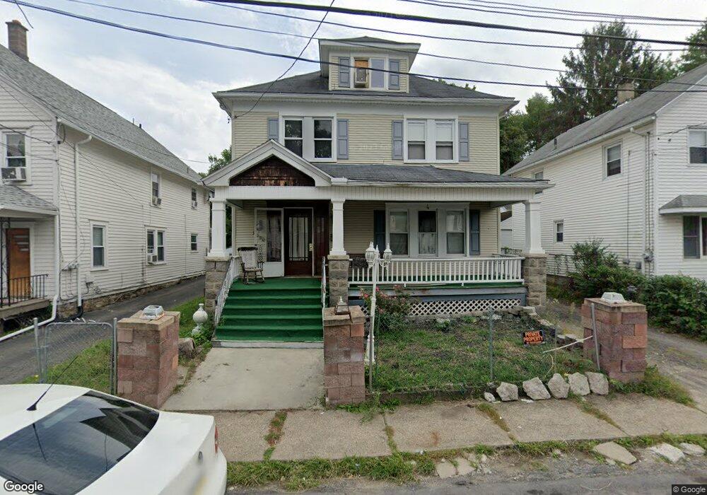
2020 Margaret Ave Scranton, PA 18508
Providence NeighborhoodEstimated Value: $203,000 - $290,000
5
Beds
2
Baths
3,140
Sq Ft
$79/Sq Ft
Est. Value
About This Home
This home is located at 2020 Margaret Ave, Scranton, PA 18508 and is currently estimated at $249,234, approximately $79 per square foot. 2020 Margaret Ave is a home located in Lackawanna County with nearby schools including Neil Armstrong Elementary School, Scranton High School, and St. Paul St. Clare School St. Clare Campus.
Ownership History
Date
Name
Owned For
Owner Type
Purchase Details
Closed on
Jan 29, 2019
Sold by
Thompson Hall Doris and Fofanah Doris Thompson
Bought by
Thompson Hall Doris and Fofanah Yayah
Current Estimated Value
Purchase Details
Closed on
Jun 14, 2007
Sold by
Mcgoff Joseph and Mcgoff Margaret
Bought by
Hall Doris Thompson
Home Financials for this Owner
Home Financials are based on the most recent Mortgage that was taken out on this home.
Original Mortgage
$148,667
Outstanding Balance
$90,969
Interest Rate
6.19%
Mortgage Type
FHA
Estimated Equity
$158,265
Create a Home Valuation Report for This Property
The Home Valuation Report is an in-depth analysis detailing your home's value as well as a comparison with similar homes in the area
Home Values in the Area
Average Home Value in this Area
Purchase History
| Date | Buyer | Sale Price | Title Company |
|---|---|---|---|
| Thompson Hall Doris | -- | None Available | |
| Hall Doris Thompson | $151,000 | None Available |
Source: Public Records
Mortgage History
| Date | Status | Borrower | Loan Amount |
|---|---|---|---|
| Open | Hall Doris Thompson | $148,667 |
Source: Public Records
Tax History Compared to Growth
Tax History
| Year | Tax Paid | Tax Assessment Tax Assessment Total Assessment is a certain percentage of the fair market value that is determined by local assessors to be the total taxable value of land and additions on the property. | Land | Improvement |
|---|---|---|---|---|
| 2025 | $4,905 | $15,400 | $2,200 | $13,200 |
| 2024 | $4,480 | $15,400 | $2,200 | $13,200 |
| 2023 | $4,480 | $15,400 | $2,200 | $13,200 |
| 2022 | $4,381 | $15,400 | $2,200 | $13,200 |
| 2021 | $4,381 | $15,400 | $2,200 | $13,200 |
| 2020 | $4,298 | $15,400 | $2,200 | $13,200 |
| 2019 | $4,042 | $15,400 | $2,200 | $13,200 |
| 2018 | $4,042 | $15,400 | $2,200 | $13,200 |
| 2017 | $3,969 | $15,400 | $2,200 | $13,200 |
| 2016 | $1,179 | $15,400 | $2,200 | $13,200 |
| 2015 | $2,642 | $15,400 | $2,200 | $13,200 |
| 2014 | -- | $15,400 | $2,200 | $13,200 |
Source: Public Records
Map
Nearby Homes
- 2040 Margaret Ave Unit 2042
- 2113 Golden Ave
- 2105 Belmont Terrace
- 119 Spring St
- 335 337 Spring
- 332 Spring St
- 2089 N Main Ave
- 2219 Golden Ave
- 314 W Market St
- 1718 Rear Wayne Ave
- 180 Golden Ave Unit 182
- 193 W Parker St
- 440 Leggett St
- 35 Dean St
- 2124 Ballau Ave
- 1729 Wayne Ave
- 1711 N Sumner Ave
- 121 Throop St
- 416 Electric St
- 231 Putnam St
- 2026-2028 Margaret Ave
- 2018 Margaret Ave
- 2026 Margaret Ave Unit 2028
- 2018 Margaret Ave
- 0 Margaret Ave
- 2030 Margaret Ave
- 2012 Margaret Ave
- 2032 Margaret Ave
- 2034 Margaret Ave
- 2006 Margaret Ave
- 2027 Margaret Ave
- 2019 Margaret Ave
- 2029 Edna Ave
- 2037 Edna Ave
- 2013-2015 Margaret Ave
- 2015 Margaret Ave
- 2021 Margaret Ave Unit 2023
- 2017 Margaret Ave Unit 2019
- 2025 Margaret Ave Unit 2027
- 2025 Edna Ave