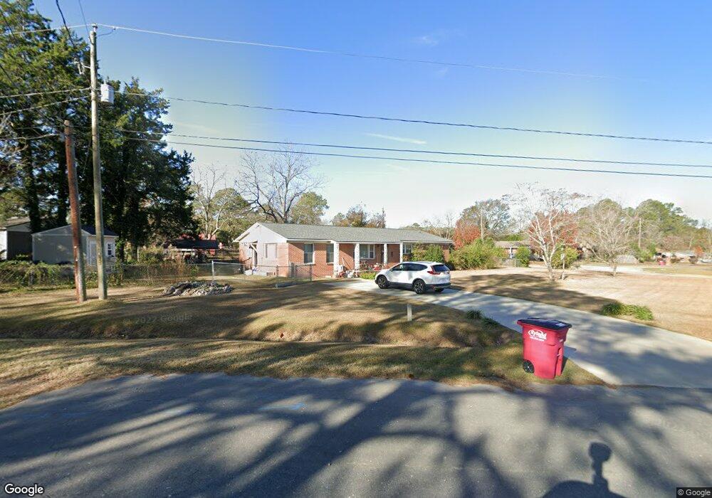
2020 Meadowbrook Dr Tifton, GA 31794
Estimated Value: $207,603 - $225,000
3
Beds
3
Baths
1,724
Sq Ft
$124/Sq Ft
Est. Value
About This Home
This home is located at 2020 Meadowbrook Dr, Tifton, GA 31794 and is currently estimated at $214,401, approximately $124 per square foot. 2020 Meadowbrook Dr is a home located in Tift County with nearby schools including Northside Primary School, Charles Spencer Elementary School, and J.T. Reddick School.
Ownership History
Date
Name
Owned For
Owner Type
Purchase Details
Closed on
Dec 13, 2018
Sold by
Croy Guenther Virgil Dean
Bought by
Croy Caroline
Current Estimated Value
Purchase Details
Closed on
Dec 10, 2018
Sold by
Croy Thomas Vernon
Bought by
Croy Caroline
Purchase Details
Closed on
Dec 6, 2018
Sold by
Croy William Raymond
Bought by
Croy Caroline
Purchase Details
Closed on
Nov 20, 2018
Sold by
Croy Kathie Estate
Bought by
Croy Caroline and Croy Guenther Virgil Dean
Purchase Details
Closed on
Oct 19, 1977
Sold by
Croy Virgil D
Bought by
Croy Kathie
Create a Home Valuation Report for This Property
The Home Valuation Report is an in-depth analysis detailing your home's value as well as a comparison with similar homes in the area
Home Values in the Area
Average Home Value in this Area
Purchase History
| Date | Buyer | Sale Price | Title Company |
|---|---|---|---|
| Croy Caroline | -- | -- | |
| Croy Caroline | -- | -- | |
| Croy Caroline | -- | -- | |
| Croy Caroline | -- | -- | |
| Croy Kathie | -- | -- |
Source: Public Records
Tax History Compared to Growth
Tax History
| Year | Tax Paid | Tax Assessment Tax Assessment Total Assessment is a certain percentage of the fair market value that is determined by local assessors to be the total taxable value of land and additions on the property. | Land | Improvement |
|---|---|---|---|---|
| 2024 | $2,264 | $85,516 | $11,280 | $74,236 |
| 2023 | $2,039 | $33,665 | $4,400 | $29,265 |
| 2022 | $1,210 | $33,665 | $4,400 | $29,265 |
| 2021 | $1,218 | $33,665 | $4,400 | $29,265 |
| 2020 | $1,249 | $33,665 | $4,400 | $29,265 |
| 2019 | $1,225 | $31,537 | $4,400 | $27,137 |
| 2018 | $700 | $31,537 | $4,400 | $27,137 |
| 2017 | $779 | $33,436 | $4,400 | $29,036 |
| 2016 | $780 | $33,436 | $4,400 | $29,036 |
| 2015 | $780 | $33,436 | $4,400 | $29,036 |
| 2014 | $780 | $33,436 | $4,400 | $29,036 |
| 2013 | -- | $33,436 | $4,400 | $29,036 |
Source: Public Records
Map
Nearby Homes
- 2021 Davis Ave
- 2020 Davis Ave
- 705 20th St E
- 1809 Davis Ave
- 2417 Belmont Ave
- 2411 Davis Ave
- 0 Old Ocilla Rd Unit 138781
- 0 Old Ocilla Rd Unit 10611000
- 2612 Goff St
- 502 20th St E
- -0- Old Ocilla Rd
- 0 Tift Ave
- 2214 Love Ave
- 1611 Love Ave
- 1430 Madison Ave
- 1137 Oquinn Dr
- 903 42nd St E
- 219 Cypress Ridge Rd
- 0 Central Ave Unit 138182
- 0 Central Ave Unit 137897
- 1010 22nd St E
- 2018 Meadowbrook Dr
- 1201 22nd St E
- 1101 22nd St E
- 1008 22nd St E
- 1009 22nd St E
- 2201 Meadowbrook Dr
- 2016 Meadowbrook Dr
- 2010 Lee Ave
- 2205 Lee Ave
- 2019 Tyson Ave
- 2206 Lee Ave
- 2013 Tyson Ave
- 2019 Lee Ave
- 1205 22nd St E
- 2201 Tyson Ave
- 2017 Lee Ave
- 2010 Meadowbrook Dr
- 2205 Meadowbrook Dr
- 2209 Lee Ave