2020 Mina Lane Dr Buford, GA 30518
Estimated Value: $422,000 - $480,000
4
Beds
3
Baths
2,579
Sq Ft
$179/Sq Ft
Est. Value
About This Home
This home is located at 2020 Mina Lane Dr, Buford, GA 30518 and is currently estimated at $460,457, approximately $178 per square foot. 2020 Mina Lane Dr is a home located in Gwinnett County with nearby schools including White Oak Elementary School, Lanier Middle School, and Lanier High School.
Ownership History
Date
Name
Owned For
Owner Type
Purchase Details
Closed on
May 27, 2005
Sold by
A & S Builders Inc
Bought by
Pfeiffer Joseph D and Pfeiffer Sandra
Current Estimated Value
Home Financials for this Owner
Home Financials are based on the most recent Mortgage that was taken out on this home.
Original Mortgage
$186,200
Outstanding Balance
$102,062
Interest Rate
6.75%
Mortgage Type
New Conventional
Estimated Equity
$358,395
Create a Home Valuation Report for This Property
The Home Valuation Report is an in-depth analysis detailing your home's value as well as a comparison with similar homes in the area
Home Values in the Area
Average Home Value in this Area
Purchase History
| Date | Buyer | Sale Price | Title Company |
|---|---|---|---|
| Pfeiffer Joseph D | $206,900 | -- |
Source: Public Records
Mortgage History
| Date | Status | Borrower | Loan Amount |
|---|---|---|---|
| Open | Pfeiffer Joseph D | $186,200 |
Source: Public Records
Tax History Compared to Growth
Tax History
| Year | Tax Paid | Tax Assessment Tax Assessment Total Assessment is a certain percentage of the fair market value that is determined by local assessors to be the total taxable value of land and additions on the property. | Land | Improvement |
|---|---|---|---|---|
| 2025 | $1,363 | $188,320 | $34,000 | $154,320 |
| 2024 | $1,362 | $209,840 | $30,800 | $179,040 |
| 2023 | $1,362 | $209,840 | $30,800 | $179,040 |
| 2022 | $1,323 | $174,240 | $24,000 | $150,240 |
| 2021 | $1,312 | $133,480 | $19,200 | $114,280 |
| 2020 | $1,310 | $117,880 | $16,000 | $101,880 |
| 2019 | $1,207 | $117,880 | $16,000 | $101,880 |
| 2018 | $1,176 | $114,520 | $16,000 | $98,520 |
| 2016 | $1,213 | $95,840 | $13,600 | $82,240 |
| 2015 | $1,134 | $73,080 | $9,800 | $63,280 |
| 2014 | $1,144 | $73,080 | $9,800 | $63,280 |
Source: Public Records
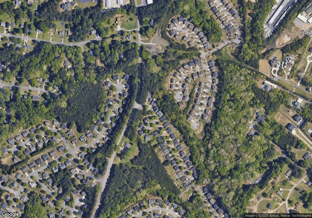
Map
Nearby Homes
- 5601 Creek Dale Way
- 5600 Creek Dale Way
- 1920 Patrick Mill Place
- 1983 Anchor Way Unit 1
- 6265 Lake Windsor Pkwy
- 5552 Little Mill Rd
- 5774 Harbor Dr
- 2243 Bedstone Dr Unit 2
- 5871 Dolvin Ln
- 1770 Patrick Mill Place
- 5820 Elm Tree Dr Unit 1
- 900 Melody Ridge Ln
- 5995 Lake Windsor Pkwy Unit 1
- 5537 N Richland Creek Rd
- 2030 Buford Dam Rd
- 5571 Shadburn Ferry Rd
- 2416 Sterling Manor Dr
- 5984 Dolvin Ln
- 2482 Windchase Ct
- 5789 Creek Indian Dr
- 2030 Mina Lane Dr
- 2030 Mina Lane Dr NE Unit 4
- 2010 Mina Lane Dr
- 2040 Mina Lane Dr
- 2000 Mina Lane Dr
- 5612 Aria Ct
- 2050 Mina Lane Dr
- 6607 Aria Ct NE Unit 124
- 5551 Creek Dale Way
- 5570 Creek Dale Way
- 2060 Mina Lane Dr
- 5602 Aria Ct
- 2055 Mina Lane Dr
- 5580 Creek Dale Way
- 5561 Creek Dale Way
- 5571 Creek Dale Way
- 2070 Mina Lane Dr
- 2065 Patrick Mill Place Unit 2065
- 2065 Patrick Mill Place
- 5523 Leaf Ridge Ln Unit 1