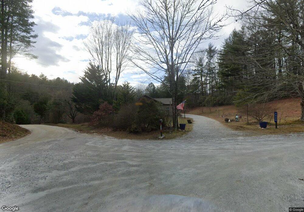
2020 Moses Rd Unit 25 and 26 Rabun Gap, GA 30568
Estimated Value: $372,000 - $457,000
3
Beds
2
Baths
1,605
Sq Ft
$256/Sq Ft
Est. Value
About This Home
This home is located at 2020 Moses Rd Unit 25 and 26, Rabun Gap, GA 30568 and is currently estimated at $411,344, approximately $256 per square foot. 2020 Moses Rd Unit 25 and 26 is a home located in Rabun County with nearby schools including Rabun County Primary School and Rabun County High School.
Ownership History
Date
Name
Owned For
Owner Type
Purchase Details
Closed on
Sep 10, 2018
Sold by
Redden Clarence J
Bought by
Clayborne David and Clayborne Wanda
Current Estimated Value
Purchase Details
Closed on
Jan 23, 2018
Sold by
Hopper
Bought by
Redden Clarence J and Redden Cheryl S
Purchase Details
Closed on
Dec 1, 2015
Sold by
Oakes David
Bought by
Hopper Glenn and O Elmer Hopper C
Purchase Details
Closed on
Jan 1, 1999
Bought by
Oakes Tammy
Purchase Details
Closed on
Dec 1, 1998
Purchase Details
Closed on
May 1, 1986
Create a Home Valuation Report for This Property
The Home Valuation Report is an in-depth analysis detailing your home's value as well as a comparison with similar homes in the area
Home Values in the Area
Average Home Value in this Area
Purchase History
| Date | Buyer | Sale Price | Title Company |
|---|---|---|---|
| Clayborne David | $222,500 | -- | |
| Redden Clarence J | $21,000 | -- | |
| Redden Clarence J | $21,000 | -- | |
| Hopper Glenn | -- | -- | |
| Hopper Glenn | -- | -- | |
| Oakes Tammy | $70,000 | -- | |
| Oakes Tammy | $70,000 | -- | |
| -- | $70,000 | -- | |
| -- | $70,000 | -- | |
| -- | -- | -- | |
| -- | -- | -- | |
| -- | -- | -- |
Source: Public Records
Tax History Compared to Growth
Tax History
| Year | Tax Paid | Tax Assessment Tax Assessment Total Assessment is a certain percentage of the fair market value that is determined by local assessors to be the total taxable value of land and additions on the property. | Land | Improvement |
|---|---|---|---|---|
| 2025 | $1,999 | $130,444 | $13,800 | $116,644 |
| 2024 | $1,947 | $123,288 | $13,800 | $109,488 |
| 2023 | $2,089 | $116,132 | $13,800 | $102,332 |
| 2022 | $1,981 | $110,255 | $11,500 | $98,755 |
| 2021 | $1,804 | $98,228 | $11,500 | $86,728 |
| 2020 | $1,660 | $87,576 | $11,500 | $76,076 |
| 2019 | $1,632 | $85,538 | $11,500 | $74,038 |
| 2018 | $208 | $10,598 | $10,000 | $598 |
| 2017 | $199 | $10,598 | $10,000 | $598 |
| 2016 | $200 | $10,598 | $10,000 | $598 |
| 2015 | $204 | $10,614 | $10,000 | $614 |
| 2014 | $613 | $33,664 | $10,000 | $23,664 |
Source: Public Records
Map
Nearby Homes
- 0 Alto Ln Unit 10533235
- 189 Elm Ln
- 0 Pitts Way Unit 10592369
- 373 Western Way
- 0 Crest Ln Unit LOT 5 10572844
- 46 Clare Ln
- 0 Sylvan Lake Dr Unit 47,48 10485897
- 0 Black Rock Estates Unit 25 10374676
- 0 Forest Canopy Way Unit 11
- 994 Winding View Trail
- 657 Winding View Trail
- 0 Yellow Trillium Unit LOT 13 10580243
- 230 Majors Ln
- 1387 Valley St
- 120 Maple Springs Ln
- 36 Maple Springs Ln
- 548 Black Rock Mountain Pkwy
- 784 Wolffork Church Rd
- 0 Green St Unit 10565711
- 230 Stornoway Dr Unit 6
- 2020 Moses Rd
- 3095 N Germany Rd
- 49 Pine Ridge Ln
- 121 Pine Ridge Ln
- 3095 N Germany Mountain Rd
- N Germany Mtn Rd
- N Germany Mountain
- 1933 Moses Rd
- 40 Pine Ridge Ln
- 140 Ivy Trail
- 152 Pine Ridge Ln
- 168 Bonded Ln
- 93 Ivy Trail
- 3473 N Germany Mountain Rd
- 142 Fishback Dr
- N N Germany Mountain Rd Unit 25 AND 26
- 51 Bonded Ln
- 17 Cascade Ln
- 12 Piper Ln
- 48 Ivy Trail