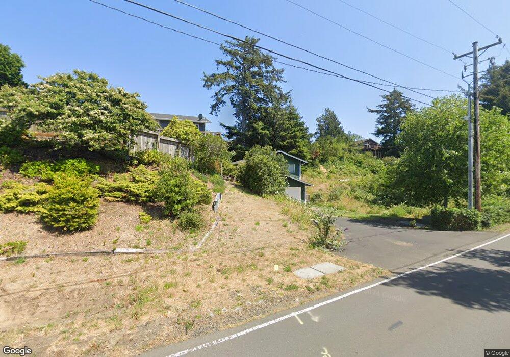
2020 NW Oceanview Dr Newport, OR 97365
Bayshore NeighborhoodEstimated Value: $438,000 - $505,000
3
Beds
2
Baths
1,358
Sq Ft
$352/Sq Ft
Est. Value
About This Home
This home is located at 2020 NW Oceanview Dr, Newport, OR 97365 and is currently estimated at $478,474, approximately $352 per square foot. 2020 NW Oceanview Dr is a home with nearby schools including Crestview Heights School and Waldport High and Middle School.
Ownership History
Date
Name
Owned For
Owner Type
Purchase Details
Closed on
Apr 20, 2016
Sold by
Schlosser Michael
Bought by
Coulter Cory L
Current Estimated Value
Home Financials for this Owner
Home Financials are based on the most recent Mortgage that was taken out on this home.
Original Mortgage
$195,700
Outstanding Balance
$155,472
Interest Rate
3.68%
Mortgage Type
New Conventional
Estimated Equity
$323,002
Purchase Details
Closed on
Sep 24, 2014
Sold by
Kilbourn Lee F
Bought by
Schlosser Michael
Create a Home Valuation Report for This Property
The Home Valuation Report is an in-depth analysis detailing your home's value as well as a comparison with similar homes in the area
Home Values in the Area
Average Home Value in this Area
Purchase History
| Date | Buyer | Sale Price | Title Company |
|---|---|---|---|
| Coulter Cory L | $206,000 | Western Title & Escrow | |
| Schlosser Michael | $27,000 | Western Title & Escrow |
Source: Public Records
Mortgage History
| Date | Status | Borrower | Loan Amount |
|---|---|---|---|
| Open | Coulter Cory L | $195,700 |
Source: Public Records
Tax History Compared to Growth
Tax History
| Year | Tax Paid | Tax Assessment Tax Assessment Total Assessment is a certain percentage of the fair market value that is determined by local assessors to be the total taxable value of land and additions on the property. | Land | Improvement |
|---|---|---|---|---|
| 2024 | $3,222 | $233,670 | -- | -- |
| 2023 | $3,159 | $226,870 | $0 | $0 |
| 2022 | $3,168 | $220,270 | $0 | $0 |
| 2021 | $2,924 | $213,860 | $0 | $0 |
| 2020 | $2,863 | $207,640 | $0 | $0 |
| 2019 | $2,767 | $201,600 | $0 | $0 |
| 2018 | $2,729 | $195,730 | $0 | $0 |
| 2017 | $2,701 | $190,030 | $0 | $0 |
| 2016 | $825 | $62,020 | $0 | $0 |
| 2015 | $295 | $23,780 | $0 | $0 |
| 2014 | $287 | $23,090 | $0 | $0 |
| 2013 | -- | $22,420 | $0 | $0 |
Source: Public Records
Map
Nearby Homes
- 2202 NW Mokmak Lake Dr
- 2105 NW Parker Ave
- 1510 NW Parker Ave
- 2001 NW Parker Ave
- 1822 NW View Ridge Dr
- 1822 /1902 NW View Ridge Dr
- 1706 NW Oceanview Dr
- 2506 NW Mokmak Lake Dr
- 1013 NW Salal Dr
- 1601 NW Oceanview Dr
- 1005 NW Salal
- 2014 NW Oceanic Loop
- 1009 NW Salal Dr
- 2605 NW Parker Ave
- 2414 NW Convoy Way
- 1701 NW Oceania Dr
- 1000 Blk Nw Highland Dr Tl 4003
- 940 NW Highland Cir
- 1000 NW Highland Dr Tl 4003
- 920 NW Highland Cir
- 2010 NW Oceanview Dr
- 2013 NW Oceanview Dr
- 2013 NW Bayshore Dr
- 2101 Mokmak
- 2021 NW Oceanview Dr
- 2006 NW Oceanview Dr
- 2009 NW Oceanview Dr
- 2201 NW Bayshore Dr
- 2005 NW Oceanview Dr
- 2009 NW Bayshore Dr
- 2002 NW Oceanview Dr
- 2110 NW Bayshore Dr
- 2001 NW Oceanview Dr
- 2106 NW Bayshore Dr
- 2101 NW Mokmak Lake Dr
- 2102 NW Bayshore Dr
- 2006 NW Hilton Dr
- 2010 NW Hilton Dr Unit 1
- 2205 NW Bayshore Dr
- 2201 NW Bayshore Loop