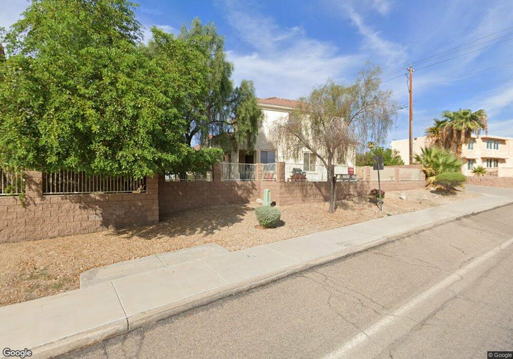
2020 Richey Cir Lake Havasu City, AZ 86403
Estimated Value: $411,838 - $569,000
3
Beds
1
Bath
1,643
Sq Ft
$276/Sq Ft
Est. Value
About This Home
This home is located at 2020 Richey Cir, Lake Havasu City, AZ 86403 and is currently estimated at $453,210, approximately $275 per square foot. 2020 Richey Cir is a home located in Mohave County with nearby schools including Nautilus Elementary School, Thunderbolt Middle School, and Lake Havasu High School.
Ownership History
Date
Name
Owned For
Owner Type
Purchase Details
Closed on
Aug 18, 2009
Sold by
Havasu Sunset Villas Llc
Bought by
Rosenfelt Robert C and Rosenfelt Katherine F
Current Estimated Value
Home Financials for this Owner
Home Financials are based on the most recent Mortgage that was taken out on this home.
Original Mortgage
$169,200
Outstanding Balance
$110,544
Interest Rate
5.25%
Mortgage Type
New Conventional
Estimated Equity
$342,666
Create a Home Valuation Report for This Property
The Home Valuation Report is an in-depth analysis detailing your home's value as well as a comparison with similar homes in the area
Home Values in the Area
Average Home Value in this Area
Purchase History
| Date | Buyer | Sale Price | Title Company |
|---|---|---|---|
| Rosenfelt Robert C | $188,400 | First American Title Ins Co |
Source: Public Records
Mortgage History
| Date | Status | Borrower | Loan Amount |
|---|---|---|---|
| Open | Rosenfelt Robert C | $169,200 |
Source: Public Records
Tax History Compared to Growth
Tax History
| Year | Tax Paid | Tax Assessment Tax Assessment Total Assessment is a certain percentage of the fair market value that is determined by local assessors to be the total taxable value of land and additions on the property. | Land | Improvement |
|---|---|---|---|---|
| 2026 | $739 | -- | -- | -- |
| 2025 | $1,498 | $32,646 | $0 | $0 |
| 2024 | $1,498 | $36,321 | $0 | $0 |
| 2023 | $1,498 | $32,336 | $0 | $0 |
| 2022 | $1,433 | $23,167 | $0 | $0 |
| 2021 | $1,600 | $21,185 | $0 | $0 |
| 2019 | $1,521 | $18,727 | $0 | $0 |
| 2018 | $1,470 | $16,739 | $0 | $0 |
| 2017 | $1,456 | $15,972 | $0 | $0 |
| 2016 | $1,321 | $15,073 | $0 | $0 |
| 2015 | $1,266 | $13,189 | $0 | $0 |
Source: Public Records
Map
Nearby Homes
- 2312 Palisades Dr
- 2212 Kiowa Blvd N Unit 123
- 2212 Kiowa Blvd N Unit 117
- 2212 Kiowa Blvd N Unit 227
- 2211 Sandwood Dr
- 2205 Sandwood Dr
- 2148 Sandwood Dr
- 2395 San Juan Dr
- 2183 Runabout Dr
- 2529 Palisades Dr
- 2535 Palisades Dr
- 2335 Palo Verde Blvd N
- 2285 Pennant Ln
- 2543 Hillview Dr
- 2430 Palo Verde Blvd N
- 2415 Palo Verde Blvd N
- 2162 Runabout Dr
- 985 Hurricane Dr
- 2050 Kiowa Blvd N
- 0000 Spawr Cir
- 2010 Richey Cir
- 2031 Richey Cir
- 2000 Richey Cir
- 2041 Richey Cir
- 1120 Richey Ct
- 1120 Richey Cir
- 1090 Richey Cir
- 1100 Richey Cir
- 1080 Richey Cir
- 1100 Richey Ct
- 2321 Sandwood Dr
- 2061 Richey Cir
- 1070 Richey Cir
- 1060 Richey Cir
- 910 Richey Way
- 910 Richey Cir
- 1021 Richey Cir
- 900 Richey Cir Unit Lot 23
- 900 Richey Cir
- 900 Richey Way