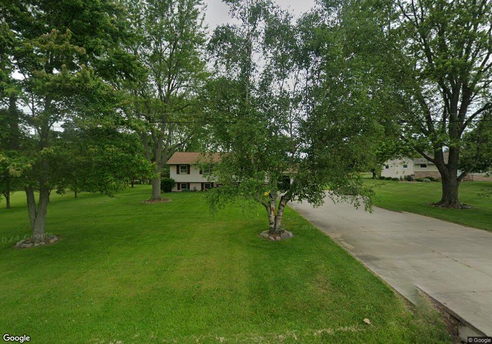
2020 S Morrice Rd Owosso, MI 48867
Estimated Value: $204,715 - $308,000
Studio
--
Bath
--
Sq Ft
104,544
Sq Ft Lot
About This Home
This home is located at 2020 S Morrice Rd, Owosso, MI 48867 and is currently estimated at $243,929. 2020 S Morrice Rd is a home located in Shiawassee County with nearby schools including Owosso High School, Salem Lutheran School, and Owosso Christian School.
Ownership History
Date
Name
Owned For
Owner Type
Purchase Details
Closed on
Jun 11, 2024
Sold by
Stout Ronald and Stout Bonnie L
Bought by
Stout Ronald and Stout Bonnie L
Current Estimated Value
Purchase Details
Closed on
Jun 12, 2003
Sold by
Worthington David L and Worthington Vatalion M
Bought by
Stout Ronald and Stout Bonnie L
Home Financials for this Owner
Home Financials are based on the most recent Mortgage that was taken out on this home.
Original Mortgage
$136,000
Interest Rate
5.78%
Mortgage Type
Purchase Money Mortgage
Create a Home Valuation Report for This Property
The Home Valuation Report is an in-depth analysis detailing your home's value as well as a comparison with similar homes in the area
Home Values in the Area
Average Home Value in this Area
Purchase History
| Date | Buyer | Sale Price | Title Company |
|---|---|---|---|
| Stout Ronald | -- | None Listed On Document | |
| Stout Ronald | -- | None Listed On Document | |
| Stout Ronald | $170,000 | Chicago Title |
Source: Public Records
Mortgage History
| Date | Status | Borrower | Loan Amount |
|---|---|---|---|
| Previous Owner | Stout Ronald | $136,000 |
Source: Public Records
Tax History
| Year | Tax Paid | Tax Assessment Tax Assessment Total Assessment is a certain percentage of the fair market value that is determined by local assessors to be the total taxable value of land and additions on the property. | Land | Improvement |
|---|---|---|---|---|
| 2025 | $2,101 | $98,100 | $0 | $0 |
| 2024 | $2,141 | $94,900 | $0 | $0 |
| 2023 | $751 | $89,500 | $0 | $0 |
| 2022 | $715 | $81,400 | $0 | $0 |
| 2021 | $1,896 | $68,800 | $0 | $0 |
| 2020 | $1,897 | $64,500 | $0 | $0 |
| 2019 | $1,867 | $65,500 | $0 | $0 |
| 2018 | $1,887 | $64,600 | $0 | $0 |
| 2017 | $1,550 | $62,000 | $0 | $0 |
| 2016 | -- | $62,000 | $0 | $0 |
| 2015 | -- | $58,500 | $0 | $0 |
| 2014 | $7 | $54,400 | $0 | $0 |
Source: Public Records
Map
Nearby Homes
- 1860 Michigan 52
- 2431 S Morrice Rd
- 1648 S M 52
- 1627 Michigan 52
- 2590 S Morrice Rd
- 1585 Michigan 52
- 539 W Wildwood Dr
- 1610 W South St
- V/L W South St
- V/l # 11 W South St
- 1907 Krouse Rd
- 1236 Walnut St
- 1116 State St
- 2375 W Dewey Rd
- 1046 S Pearce St
- 1131 S Shiawassee St
- 1011 State St
- 421 Prindle St
- 414 Prindle St
- 1105 Palmer Ave
- 2010 S Morrice Rd
- 2010 S Morrice Rd
- 2000 S Morrice Rd
- 2084 S Morrice Rd
- 2142 S Morrice Rd
- 1990 S Morrice Rd
- 2135 S Morrice Rd
- 960 W Dewey Rd
- 2145 S Morrice Rd
- 1980 S Morrice Rd
- 1989 S Morrice Rd
- 1989 S Morrice Rd
- 2350 S Morrice Rd
- 1966 S Morrice Rd
- 825 W Dewey Rd
- 2361 S Morrice Rd
- 810 W Dewey Rd
- 795 W Dewey Rd
- 1946 S Morrice Rd
- 1905 S M-52
Your Personal Tour Guide
Ask me questions while you tour the home.