2020 Scioto Pointe Dr Columbus, OH 43221
Marble Cliff Crossing NeighborhoodEstimated Value: $940,000 - $1,156,000
3
Beds
3
Baths
3,382
Sq Ft
$317/Sq Ft
Est. Value
About This Home
This home is located at 2020 Scioto Pointe Dr, Columbus, OH 43221 and is currently estimated at $1,072,137, approximately $317 per square foot. 2020 Scioto Pointe Dr is a home located in Franklin County with nearby schools including Galloway Ridge Intermediate School, Prairie Lincoln Elementary School, and Norton Middle School.
Ownership History
Date
Name
Owned For
Owner Type
Purchase Details
Closed on
Aug 30, 2010
Sold by
Lenzotti Dean M
Bought by
Fritts Robert H and Fritts Karen C
Current Estimated Value
Home Financials for this Owner
Home Financials are based on the most recent Mortgage that was taken out on this home.
Original Mortgage
$125,000
Interest Rate
3.5%
Mortgage Type
New Conventional
Purchase Details
Closed on
Jun 30, 1998
Sold by
Building Industry Assn Of Central Ohio F
Bought by
Lenzotti Dean M
Home Financials for this Owner
Home Financials are based on the most recent Mortgage that was taken out on this home.
Original Mortgage
$185,000
Interest Rate
7.18%
Create a Home Valuation Report for This Property
The Home Valuation Report is an in-depth analysis detailing your home's value as well as a comparison with similar homes in the area
Home Values in the Area
Average Home Value in this Area
Purchase History
| Date | Buyer | Sale Price | Title Company |
|---|---|---|---|
| Fritts Robert H | $500,000 | Harrison T | |
| Lenzotti Dean M | $375,000 | Central City Title Agency |
Source: Public Records
Mortgage History
| Date | Status | Borrower | Loan Amount |
|---|---|---|---|
| Previous Owner | Fritts Robert H | $125,000 | |
| Previous Owner | Lenzotti Dean M | $185,000 |
Source: Public Records
Tax History
| Year | Tax Paid | Tax Assessment Tax Assessment Total Assessment is a certain percentage of the fair market value that is determined by local assessors to be the total taxable value of land and additions on the property. | Land | Improvement |
|---|---|---|---|---|
| 2025 | $14,841 | $277,900 | $91,000 | $186,900 |
| 2024 | $14,841 | $277,900 | $91,000 | $186,900 |
| 2023 | $14,683 | $277,900 | $91,000 | $186,900 |
| 2022 | $14,977 | $234,710 | $58,800 | $175,910 |
| 2021 | $13,381 | $234,710 | $58,800 | $175,910 |
| 2020 | $13,258 | $234,710 | $58,800 | $175,910 |
| 2019 | $12,429 | $195,440 | $49,000 | $146,440 |
| 2018 | $6,179 | $195,440 | $49,000 | $146,440 |
| 2017 | $12,325 | $195,440 | $49,000 | $146,440 |
| 2016 | $8,740 | $147,430 | $22,230 | $125,200 |
| 2015 | $8,732 | $147,430 | $22,230 | $125,200 |
Source: Public Records
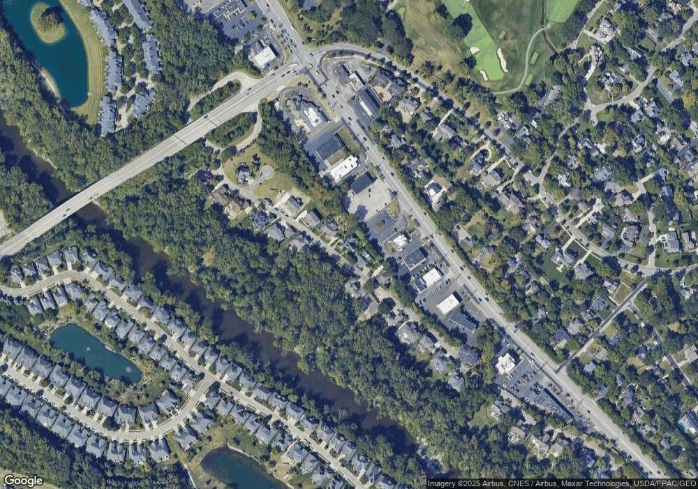
Map
Nearby Homes
- 2150 Lane Woods Dr Unit 2150
- 2022 Lake Shore Dr
- 2015 Hillside Dr
- 2245 Riverside Dr Unit 309
- 1960 Hillside Dr
- 2842 Gunnison Dr Unit 402
- 2842 Gunnison Dr Unit 303
- 2842 Gunnison Dr Unit 203
- 2842 Gunnison Dr Unit 401
- 2842 Gunnison Dr Unit 201
- 2842 Gunnison Dr Unit 304
- 2842 Gunnison Dr Unit 202
- 2842 Gunnison Dr Unit 404
- 2842 Gunnison Dr Unit 204
- 2842 Gunnison Dr Unit 302
- 2842 Gunnison Dr Unit 301
- 2250 Quarry Trails Dr
- 2252 Quarry Trails Dr
- 2256 Quarry Trails Dr
- 2800 Kobuk Dr
- 2020 Scioto Pointe Dr Unit 35
- 2032 Scioto Pointe Dr
- 2008 Scioto Pointe Dr
- 1995 Scioto Pointe Dr
- 2044 Scioto Pointe Dr
- 1996 Scioto Pointe Dr
- 1996 Scioto Pointe Dr Unit 37
- 2055 Riverside Dr
- 1983 Scioto Pointe Dr
- 2007 Scioto Pointe Dr
- 2056 Scioto Pointe Dr
- 2041 Riverside Dr
- 2031 Scioto Pointe Dr
- 1971 Scioto Pointe Dr
- 2055 Scioto Pointe Dr
- 2121 Riverside Dr
- 2043 Scioto Pointe Dr Unit 28
- 2043 Scioto Pointe Dr
- 2100 Riverside Dr
- 2090 Riverside Dr
Your Personal Tour Guide
Ask me questions while you tour the home.