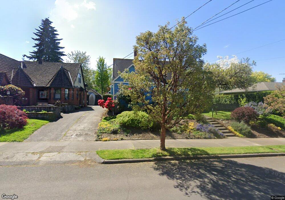
2020 SE Harrison St Portland, OR 97214
Hosford-Abernethy NeighborhoodEstimated Value: $760,000 - $855,230
3
Beds
2
Baths
1,705
Sq Ft
$465/Sq Ft
Est. Value
About This Home
This home is located at 2020 SE Harrison St, Portland, OR 97214 and is currently estimated at $792,808, approximately $464 per square foot. 2020 SE Harrison St is a home located in Multnomah County with nearby schools including Abernethy Elementary School, Hosford Middle School, and Cleveland High School.
Ownership History
Date
Name
Owned For
Owner Type
Purchase Details
Closed on
Apr 29, 2002
Sold by
Petersen Martin J and Petersen Debra C
Bought by
Baney William Patrick and Chan Amy Maria
Current Estimated Value
Home Financials for this Owner
Home Financials are based on the most recent Mortgage that was taken out on this home.
Original Mortgage
$325,000
Outstanding Balance
$138,682
Interest Rate
7.08%
Mortgage Type
Stand Alone First
Estimated Equity
$654,126
Create a Home Valuation Report for This Property
The Home Valuation Report is an in-depth analysis detailing your home's value as well as a comparison with similar homes in the area
Home Values in the Area
Average Home Value in this Area
Purchase History
| Date | Buyer | Sale Price | Title Company |
|---|---|---|---|
| Baney William Patrick | $325,000 | Transnation Title Insurance |
Source: Public Records
Mortgage History
| Date | Status | Borrower | Loan Amount |
|---|---|---|---|
| Open | Baney William Patrick | $325,000 |
Source: Public Records
Tax History Compared to Growth
Tax History
| Year | Tax Paid | Tax Assessment Tax Assessment Total Assessment is a certain percentage of the fair market value that is determined by local assessors to be the total taxable value of land and additions on the property. | Land | Improvement |
|---|---|---|---|---|
| 2024 | $8,300 | $310,210 | -- | -- |
| 2023 | $7,981 | $301,180 | $0 | $0 |
| 2022 | $7,808 | $292,410 | $0 | $0 |
| 2021 | $7,676 | $283,900 | $0 | $0 |
| 2020 | $7,042 | $275,640 | $0 | $0 |
| 2019 | $6,783 | $267,620 | $0 | $0 |
| 2018 | $6,584 | $259,830 | $0 | $0 |
| 2017 | $6,310 | $252,270 | $0 | $0 |
| 2016 | $5,775 | $244,930 | $0 | $0 |
| 2015 | $5,623 | $237,800 | $0 | $0 |
| 2014 | $5,539 | $230,880 | $0 | $0 |
Source: Public Records
Map
Nearby Homes
- 2222 SE 22nd Ave
- 1946 SE 23rd Ave
- 2025 SE Caruthers St Unit 24
- 2301 SE Caruthers St Unit 10
- 2264 SE Division St
- 2268 SE Division St
- 2112 SE Elliott Ave
- 1408 SE 22nd Ave
- 1804 SE Madison St Unit 1806
- 2805 SE Grant St
- 1805 SE Madison St Unit 303
- 1805 SE Madison St Unit 304
- 2036 SE Larch Ave
- 1529 SE Hawthorne Blvd Unit 101
- 2814 SE Market St
- 1606 SE Clinton St
- 2021 SE Woodward St
- 1844 SE 12th Ave
- 1812 SE 29th Ave
- 1226 SE 25th Ave Unit 1236
- 2030 SE Harrison St
- 2008 SE Harrison St
- 2017 SE Lincoln St
- 2044 SE Harrison St
- 2033 SE Lincoln St
- 2003 SE Lincoln St
- 2031 SE Harrison St
- 1974 SE 20th Ave
- 2100 SE Harrison St
- 2049 SE Lincoln St
- 2103 SE Lincoln St
- 1965 SE 21st Ave
- 2110 SE Harrison St
- 2013 SE 20th Ave
- 2021 SE 20th Ave
- 2005 SE 20th Ave
- 2111 SE Lincoln St
- 2029 SE 20th Ave
- 1976 SE 21st Ave
- 1955 SE 21st Ave