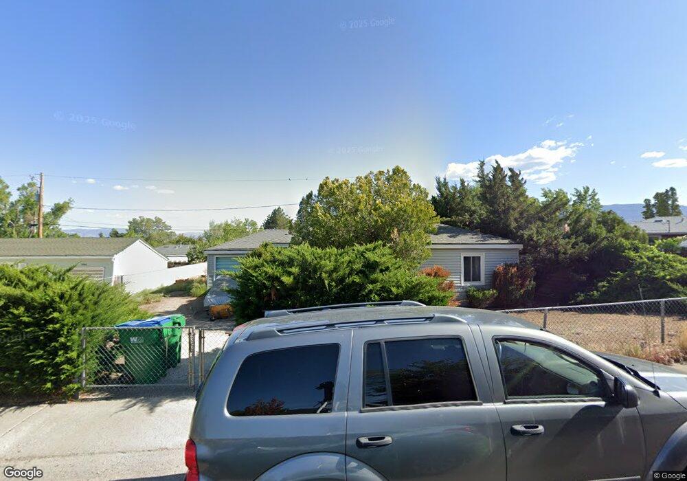
2020 Simpson Ave Reno, NV 89503
Kings Row NeighborhoodEstimated Value: $425,435 - $497,000
3
Beds
2
Baths
1,218
Sq Ft
$383/Sq Ft
Est. Value
About This Home
This home is located at 2020 Simpson Ave, Reno, NV 89503 and is currently estimated at $466,359, approximately $382 per square foot. 2020 Simpson Ave is a home located in Washoe County with nearby schools including Peavine Elementary School, Archie Clayton Pre-AP Academy, and Reno High School.
Ownership History
Date
Name
Owned For
Owner Type
Purchase Details
Closed on
Sep 8, 2014
Sold by
Ward Michael S
Bought by
Ward Michael S
Current Estimated Value
Purchase Details
Closed on
Dec 31, 1996
Sold by
Merriman Katherine B
Bought by
Merriman Katherine B and Katherine B Merriman Living Trust
Create a Home Valuation Report for This Property
The Home Valuation Report is an in-depth analysis detailing your home's value as well as a comparison with similar homes in the area
Home Values in the Area
Average Home Value in this Area
Purchase History
We collect this data history from publicly available records. To have your information removed, we recommend requesting removal directly through your county’s website.
| Date | Buyer | Sale Price | Title Company |
|---|---|---|---|
| Ward Michael S | -- | None Available | |
| Merriman Katherine B | -- | -- |
Source: Public Records
Tax History
| Year | Tax Paid | Tax Assessment Tax Assessment Total Assessment is a certain percentage of the fair market value that is determined by local assessors to be the total taxable value of land and additions on the property. | Land | Improvement |
|---|---|---|---|---|
| 2026 | $849 | $59,390 | $40,285 | $19,105 |
| 2024 | $1,055 | $56,211 | $37,485 | $18,726 |
| 2023 | $979 | $56,467 | $39,200 | $17,267 |
| 2022 | $905 | $45,559 | $31,500 | $14,059 |
| 2021 | $840 | $34,931 | $21,245 | $13,686 |
| 2020 | $791 | $33,427 | $19,985 | $13,442 |
| 2019 | $754 | $33,016 | $20,300 | $12,716 |
| 2018 | $718 | $26,656 | $14,455 | $12,201 |
| 2017 | $689 | $24,896 | $12,915 | $11,981 |
| 2016 | $671 | $23,335 | $11,340 | $11,995 |
| 2015 | $172 | $21,529 | $9,625 | $11,904 |
| 2014 | $651 | $19,839 | $8,575 | $11,264 |
| 2013 | -- | $17,062 | $6,125 | $10,937 |
Source: Public Records
Map
Nearby Homes
- 1620 Harold Dr
- 1695 Severn Dr
- 2405 Serena Dr
- 2920 Harding Cir
- 1485 Wyoming Ave
- 840 Brookfield Dr
- 2645 Emily St
- 775 Brookfield Dr
- 2750 Gellert Dr
- 2640 Emily St
- 675 College Dr
- 3101 Platte River Dr
- 3326 Snake River Dr
- 1530 Elmcrest Dr
- 1000 Keystone Ave
- 510 Citadel Ct
- 201 Sunnyside Dr
- 3398 Big Sky Dr
- 407 Imperial Blvd
- 1025 Bell St
- 2002 Simpson Ave
- 2085 Ellendale Rd
- 2025 Ellendale Rd
- 2075 Ellendale Rd
- 2005 Ellendale Rd
- 1980 Simpson Ave
- 2025 Simpson Ave
- 2055 Simpson Ave
- 1985 Ellendale Rd
- 1960 Simpson Ave
- 2075 Simpson Ave
- 1985 Simpson Ave
- 2095 Simpson Ave
- 1965 Ellendale Rd
- 2090 Bonneville Ave
- 1965 Simpson Ave
- 1940 Simpson Ave
- 2020 Lassen Dr
- 2040 Lassen Dr
- 2030 Ellendale Rd
Your Personal Tour Guide
Ask me questions while you tour the home.