Estimated Value: $281,000 - $298,000
4
Beds
5
Baths
2,880
Sq Ft
$100/Sq Ft
Est. Value
About This Home
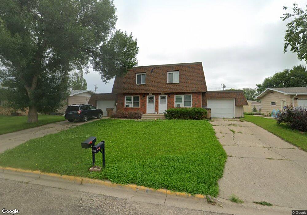
This home is located at 2020 Skyline Dr Unit 1, Minot, ND 58703 and is currently estimated at $287,503, approximately $99 per square foot. 2020 Skyline Dr Unit 1 is a home located in Ward County with nearby schools including Lewis & Clark Elementary School, Erik Ramstad Middle School, and Central Campus School.
Ownership History
Date
Name
Owned For
Owner Type
Purchase Details
Closed on
Jun 3, 2021
Sold by
Halbert Michael
Bought by
Pollard Cocaina C
Current Estimated Value
Home Financials for this Owner
Home Financials are based on the most recent Mortgage that was taken out on this home.
Original Mortgage
$254,856
Outstanding Balance
$230,740
Interest Rate
2.9%
Mortgage Type
VA
Estimated Equity
$56,763
Purchase Details
Closed on
Jun 12, 2019
Sold by
Keller Christopher and Pearce Lesly
Bought by
Halbert Michael
Home Financials for this Owner
Home Financials are based on the most recent Mortgage that was taken out on this home.
Original Mortgage
$214,051
Interest Rate
4.1%
Mortgage Type
FHA
Purchase Details
Closed on
Jul 31, 2013
Sold by
Hanson David N and Hanson Tina M
Bought by
Keller Christopher and Pearce Lesly
Create a Home Valuation Report for This Property
The Home Valuation Report is an in-depth analysis detailing your home's value as well as a comparison with similar homes in the area
Home Values in the Area
Average Home Value in this Area
Purchase History
| Date | Buyer | Sale Price | Title Company |
|---|---|---|---|
| Pollard Cocaina C | $246,000 | None Available | |
| Halbert Michael | $218,000 | None Available | |
| Keller Christopher | -- | None Available |
Source: Public Records
Mortgage History
| Date | Status | Borrower | Loan Amount |
|---|---|---|---|
| Open | Pollard Cocaina C | $254,856 | |
| Previous Owner | Halbert Michael | $214,051 |
Source: Public Records
Tax History Compared to Growth
Tax History
| Year | Tax Paid | Tax Assessment Tax Assessment Total Assessment is a certain percentage of the fair market value that is determined by local assessors to be the total taxable value of land and additions on the property. | Land | Improvement |
|---|---|---|---|---|
| 2024 | $4,229 | $137,500 | $28,500 | $109,000 |
| 2023 | $4,275 | $130,000 | $28,500 | $101,500 |
| 2022 | $3,593 | $114,500 | $28,500 | $86,000 |
| 2021 | $3,169 | $105,000 | $28,500 | $76,500 |
| 2020 | $3,051 | $102,000 | $28,500 | $73,500 |
| 2019 | $3,100 | $102,000 | $28,500 | $73,500 |
| 2018 | $3,369 | $112,000 | $28,500 | $83,500 |
| 2017 | $3,094 | $111,500 | $31,000 | $80,500 |
| 2016 | $2,722 | $121,500 | $31,000 | $90,500 |
| 2015 | $2,037 | $121,500 | $0 | $0 |
| 2014 | $2,037 | $119,500 | $0 | $0 |
Source: Public Records
Map
Nearby Homes
- 1948 3rd St NW
- 2013 California Dr
- 2042 8th St NW
- 613 23rd Ave NW
- 3630 N Broadway
- 3801 N Broadway
- 605 N Broadway
- 1000 20th Ave NW Unit C12
- 1000 20th Ave NW Unit C12
- 2513 Skyline Dr
- 807 17th Ave NW Unit 809 17th Ave. NW
- 2524 6th St NW
- 2524 5th St NW
- 2621 4th St NW
- 0 NW Corner 4th Ave and 27th St Unit 240530
- 920 26 1 2 Ave NW
- 920 26th Ave
- 916 12th Ave NW
- 2104 14th St NW
- 2368 14th St NW
- 2020 Skyline Dr
- 2020 Skyline Dr
- 2026 Skyline Dr
- 2018 Skyline Dr
- 2028 Skyline Dr
- 2016 Skyline Dr
- 2030 Skyline Dr
- 2030 Skyline Dr Unit 2032 skyline dr nw
- 2030 Skyline Dr NW
- 2008 and 2010 Skyline Dr
- 2021 Skyline Dr
- 2008 Skyline Dr
- 2008 Skyline Dr Unit 2010
- 2019 Skyline Dr
- 2027 Skyline Dr
- 2021 5th St NW
- 2040 Skyline Dr
- 2031 Skyline Dr
- 2017 5th St NW
- 2027 5th St NW