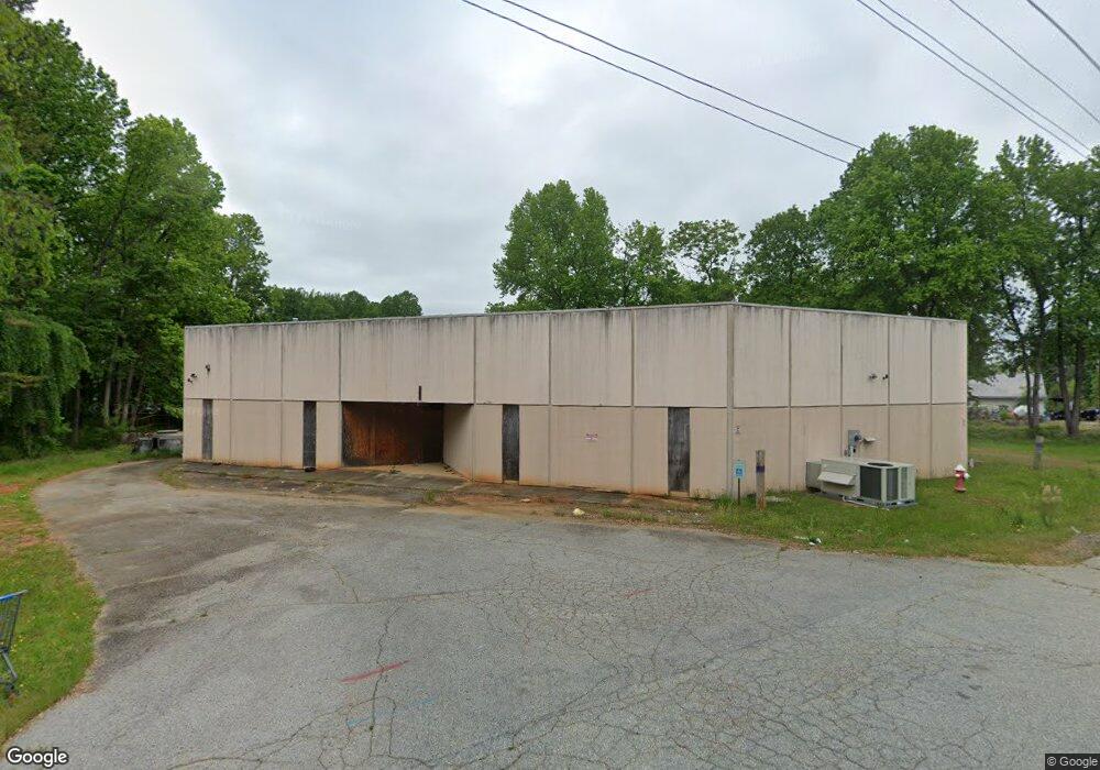
2020 Surrett Ct High Point, NC 27263
Greater High Point NeighborhoodEstimated Value: $225,079
Studio
2
Baths
5,815
Sq Ft
$39/Sq Ft
Est. Value
About This Home
This home is located at 2020 Surrett Ct, High Point, NC 27263 and is currently estimated at $225,079, approximately $38 per square foot. 2020 Surrett Ct is a home located in Guilford County with nearby schools including Allen Jay Elementary School, Southern Guilford Middle, and Southern Guilford High School.
Ownership History
Date
Name
Owned For
Owner Type
Purchase Details
Closed on
May 9, 2024
Sold by
Helping Hands High Point Inc
Bought by
Wimmer Mobile Services Incorporated Wimmer Ho
Current Estimated Value
Home Financials for this Owner
Home Financials are based on the most recent Mortgage that was taken out on this home.
Original Mortgage
$182,750
Outstanding Balance
$180,143
Interest Rate
6.79%
Mortgage Type
New Conventional
Estimated Equity
$44,936
Purchase Details
Closed on
Dec 27, 2013
Sold by
Richardson Curtis and Richardson Earline
Bought by
Helping Hands High Point Inc
Purchase Details
Closed on
Nov 6, 1990
Bought by
Richardson Curtis L
Create a Home Valuation Report for This Property
The Home Valuation Report is an in-depth analysis detailing your home's value as well as a comparison with similar homes in the area
Home Values in the Area
Average Home Value in this Area
Purchase History
| Date | Buyer | Sale Price | Title Company |
|---|---|---|---|
| Wimmer Mobile Services Incorporated Wimmer Ho | -- | None Listed On Document | |
| Helping Hands High Point Inc | -- | None Available | |
| Richardson Curtis L | $150,000 | -- |
Source: Public Records
Mortgage History
| Date | Status | Borrower | Loan Amount |
|---|---|---|---|
| Open | Wimmer Mobile Services Incorporated Wimmer Ho | $182,750 |
Source: Public Records
Tax History
| Year | Tax Paid | Tax Assessment Tax Assessment Total Assessment is a certain percentage of the fair market value that is determined by local assessors to be the total taxable value of land and additions on the property. | Land | Improvement |
|---|---|---|---|---|
| 2025 | $1,326 | $96,200 | $10,100 | $86,100 |
| 2024 | $1,326 | $96,200 | $10,100 | $86,100 |
| 2023 | $1,326 | $96,200 | $10,100 | $86,100 |
| 2022 | $0 | $96,200 | $10,100 | $86,100 |
| 2021 | $0 | $108,500 | $10,100 | $98,400 |
| 2020 | $0 | $108,500 | $10,100 | $98,400 |
| 2019 | $0 | $0 | $0 | $0 |
| 2018 | $0 | $0 | $0 | $0 |
| 2017 | -- | $0 | $0 | $0 |
| 2016 | -- | $0 | $0 | $0 |
| 2015 | -- | $117,000 | $0 | $0 |
| 2014 | $1,678 | $117,000 | $0 | $0 |
Source: Public Records
Map
Nearby Homes
- 4304 Griffins Gate Ln
- 909 Mill Ave
- 1504 Cloverdale St
- 323 Coltrane Ave
- 206 Model Farm Rd
- 206 E Moore Ave
- 1213 S Elm St
- 1603 Connor Place
- 308 W Kearns Ave
- 1217 Cloverdale St
- 537 Flint Ave
- 312 Model Farm Rd
- 407 W Willis Ave
- 405 W Willis Ave
- 335 Nathan Hunt Dr
- 604 W Ward Ave
- 607 Martha Place
- 1114 Richland St
- 609 Martha Place
- 1422 Valley Ridge Dr
- 2004 Surrett Ct
- 2006 Surrett Ct
- 1919 Surrett Ct
- 1919 Surrett Dr
- 2020 Brevard Rd
- 1920 Jarrell St
- 1200 Surrett Dr
- 2041 Brevard Rd
- 2021 Brevard Rd
- 2021 Brevard Rd Unit R1
- 2100 Brevard Rd
- 2019 Brevard Rd
- 2005 Logan St
- 2004 Logan St
- 2009 Logan St
- 2006 Logan St
- 420 Fraley Rd
- 2008 Logan St
- 2011 Logan St
- 2010 Logan St
Your Personal Tour Guide
Ask me questions while you tour the home.