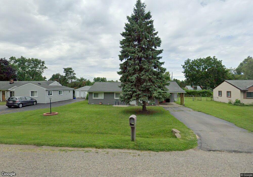
2020 Swaranne Dr West Bloomfield, MI 48324
Estimated Value: $215,177 - $256,000
3
Beds
1
Bath
1,044
Sq Ft
$222/Sq Ft
Est. Value
About This Home
This home is located at 2020 Swaranne Dr, West Bloomfield, MI 48324 and is currently estimated at $231,294, approximately $221 per square foot. 2020 Swaranne Dr is a home located in Oakland County with nearby schools including Haviland Elementary School, Pierce Middle School, and Waterford Mott High School.
Ownership History
Date
Name
Owned For
Owner Type
Purchase Details
Closed on
May 13, 2016
Sold by
Morrison Murdock and Morrison Murdock A
Bought by
Chatterson Michael J
Current Estimated Value
Home Financials for this Owner
Home Financials are based on the most recent Mortgage that was taken out on this home.
Original Mortgage
$75,000
Outstanding Balance
$59,569
Interest Rate
3.59%
Mortgage Type
New Conventional
Estimated Equity
$171,725
Purchase Details
Closed on
May 10, 2002
Sold by
Strelecky Timothy
Bought by
Morrison Murdock A
Home Financials for this Owner
Home Financials are based on the most recent Mortgage that was taken out on this home.
Original Mortgage
$94,000
Interest Rate
6.91%
Purchase Details
Closed on
Mar 31, 1997
Sold by
O'Connell Diane M
Bought by
Strelecky Timothy J
Home Financials for this Owner
Home Financials are based on the most recent Mortgage that was taken out on this home.
Original Mortgage
$76,500
Interest Rate
7.74%
Create a Home Valuation Report for This Property
The Home Valuation Report is an in-depth analysis detailing your home's value as well as a comparison with similar homes in the area
Home Values in the Area
Average Home Value in this Area
Purchase History
| Date | Buyer | Sale Price | Title Company |
|---|---|---|---|
| Chatterson Michael J | $105,000 | None Available | |
| Morrison Murdock A | $124,000 | -- | |
| Strelecky Timothy J | $85,000 | -- |
Source: Public Records
Mortgage History
| Date | Status | Borrower | Loan Amount |
|---|---|---|---|
| Open | Chatterson Michael J | $75,000 | |
| Previous Owner | Morrison Murdock A | $94,000 | |
| Previous Owner | Strelecky Timothy J | $76,500 |
Source: Public Records
Tax History Compared to Growth
Tax History
| Year | Tax Paid | Tax Assessment Tax Assessment Total Assessment is a certain percentage of the fair market value that is determined by local assessors to be the total taxable value of land and additions on the property. | Land | Improvement |
|---|---|---|---|---|
| 2024 | $1,329 | $80,570 | $0 | $0 |
| 2022 | $1,267 | $77,450 | $36,000 | $41,450 |
| 2021 | $1,955 | $65,670 | $0 | $0 |
| 2020 | $1,160 | $61,780 | $26,570 | $35,210 |
| 2018 | $1,870 | $51,790 | $21,000 | $30,790 |
| 2015 | -- | $42,990 | $0 | $0 |
| 2014 | -- | $39,480 | $0 | $0 |
| 2011 | -- | $37,600 | $0 | $0 |
Source: Public Records
Map
Nearby Homes
- 1992 Swaranne Dr
- 6620 Red Cedar Ln Unit 37
- 1837 Henbert Rd
- 1811 Henbert Rd
- 6726 Red Cedar Ln
- 1985 Christopher Ct
- 2236 Locklin Ln
- 1604 Petrolia
- VAC Mercedes Ave
- 2112 Keylon Dr
- 6034 Beachwood Dr
- 6057 Beachwood Dr
- VL Tamson St
- 2140 Timberridge Ct
- 1276 Jay St Unit 6
- 6289 Lindsay Ct
- Lot 94 Hiller Rd
- 1701 Marylestone Dr
- 5699 Applegrove Dr
- 9999 Cooley Lake Rd
- 2038 Swaranne Dr
- 2008 Swaranne Dr
- 2052 Swaranne Dr
- 2003 Lochaven Rd
- 2007 Swaranne Dr
- 2039 Swaranne Dr
- 2021 Swaranne Dr
- 2035 Lochaven Rd
- 1978 Swaranne Dr
- 2055 Lochaven Rd
- 2015 Lochaven Rd
- 1991 Swaranne Dr
- 6414 Greer Rd
- 6382 Greer Rd
- 2053 Swaranne Dr
- 6434 Greer Rd
- 1925 Lochaven Rd
- 1925 Lochaven Rd
- 1977 Swaranne Dr
- 6454 Greer Rd