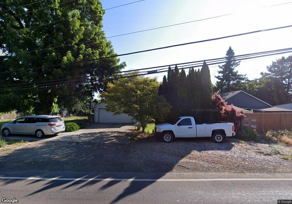
2020 Thatcher Rd Forest Grove, OR 97116
Estimated Value: $595,921 - $605,000
3
Beds
3
Baths
2,056
Sq Ft
$292/Sq Ft
Est. Value
About This Home
This home is located at 2020 Thatcher Rd, Forest Grove, OR 97116 and is currently estimated at $600,461, approximately $292 per square foot. 2020 Thatcher Rd is a home located in Washington County with nearby schools including Harvey Clarke Elementary School, Tom McCall Upper Elementary School, and Neil Armstrong Middle School.
Ownership History
Date
Name
Owned For
Owner Type
Purchase Details
Closed on
Jul 25, 2005
Sold by
Filicky Michael and Filicky Paula
Bought by
Filicky Michael and Filicky Paula K
Current Estimated Value
Home Financials for this Owner
Home Financials are based on the most recent Mortgage that was taken out on this home.
Original Mortgage
$254,500
Interest Rate
5.56%
Mortgage Type
Construction
Purchase Details
Closed on
Jun 8, 1998
Sold by
Filicky Michael and Filicky Paula K
Bought by
Filicky Michael and Filicky Paula
Home Financials for this Owner
Home Financials are based on the most recent Mortgage that was taken out on this home.
Original Mortgage
$109,200
Interest Rate
7.17%
Mortgage Type
Purchase Money Mortgage
Create a Home Valuation Report for This Property
The Home Valuation Report is an in-depth analysis detailing your home's value as well as a comparison with similar homes in the area
Home Values in the Area
Average Home Value in this Area
Purchase History
| Date | Buyer | Sale Price | Title Company |
|---|---|---|---|
| Filicky Michael | -- | Transnation | |
| Filicky Michael | -- | Oregon Title Insurance Co |
Source: Public Records
Mortgage History
| Date | Status | Borrower | Loan Amount |
|---|---|---|---|
| Closed | Filicky Michael | $254,500 | |
| Closed | Filicky Michael | $109,200 |
Source: Public Records
Tax History Compared to Growth
Tax History
| Year | Tax Paid | Tax Assessment Tax Assessment Total Assessment is a certain percentage of the fair market value that is determined by local assessors to be the total taxable value of land and additions on the property. | Land | Improvement |
|---|---|---|---|---|
| 2026 | $4,691 | $263,440 | -- | -- |
| 2025 | $4,691 | $255,770 | -- | -- |
| 2024 | $4,526 | $248,330 | -- | -- |
| 2023 | $4,526 | $241,100 | $0 | $0 |
| 2022 | $3,957 | $241,100 | $0 | $0 |
| 2021 | $3,906 | $227,270 | $0 | $0 |
| 2020 | $3,885 | $220,660 | $0 | $0 |
| 2019 | $3,799 | $214,240 | $0 | $0 |
| 2018 | $3,682 | $208,000 | $0 | $0 |
| 2017 | $3,568 | $201,950 | $0 | $0 |
| 2016 | $3,468 | $196,070 | $0 | $0 |
| 2015 | $3,335 | $190,360 | $0 | $0 |
| 2014 | $3,319 | $184,820 | $0 | $0 |
Source: Public Records
Map
Nearby Homes
- 3317 Butte Dr
- 3309 Butte Dr
- 3316 Butte Dr
- 895 Butte Dr
- Ashland Plan at Parkview Terrace
- Maggie Plan at Parkview Terrace
- Larview Plan at Parkview Terrace
- Ivy Plan at Parkview Terrace
- Trenton Plan at Parkview Terrace
- Burlington Plan at Parkview Terrace
- Hazel Plan at Parkview Terrace
- 507-FH Plan at Parkview Terrace
- 504-STD Plan at Parkview Terrace
- Poppy - Plan 308C at Parkview Terrace
- 430A Plan at Parkview Terrace
- Plan 400 at Parkview Terrace
- 506-FH Plan at Parkview Terrace
- Plan 325 at Parkview Terrace
- 505-STD Plan at Parkview Terrace
- 508-MFH Plan at Parkview Terrace
- 3266 Oakcrest Dr
- 2110 NW Thatcher Rd (Pvrm#37
- 1970 NW Thatcher Rd
- 3278 Oakcrest Dr
- 3272 Oakcrest Dr
- 3284 Oakcrest Dr
- 3260 Oakcrest Dr
- 3302 Oakcrest Dr
- 3290 Oakcrest Dr
- 2035 NW Thatcher Rd
- 3240 Oakcrest Dr
- 3367 Oakcrest Dr-Pvrm #37
- 1950 NW Thatcher Rd
- 3314 Oakcrest Dr
- 3320 Oakcrest Dr
- 3220 Oakcrest Dr
- 3275 Oakcrest Dr
- 2115 NW Thatcher Rd
- 1930 NW Thatcher Rd
- 3326 Oakcrest Dr