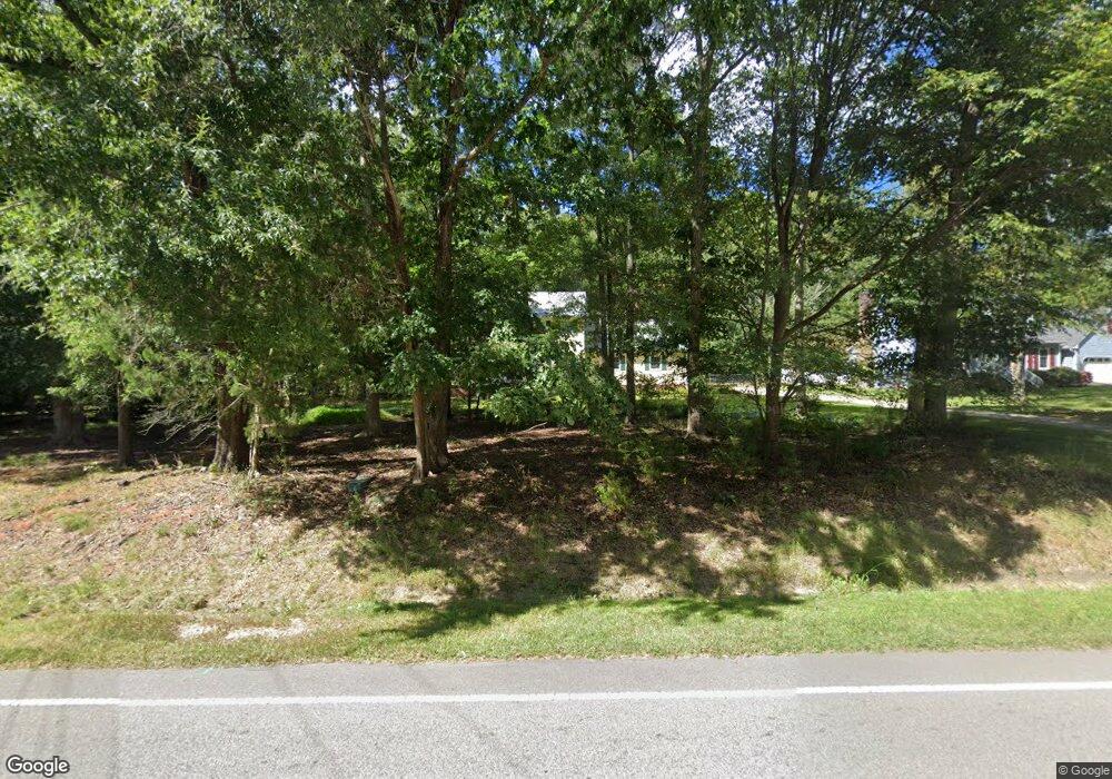
2020 Umstead Rd Durham, NC 27712
North Durham NeighborhoodEstimated Value: $543,863 - $581,000
4
Beds
3
Baths
2,878
Sq Ft
$196/Sq Ft
Est. Value
About This Home
This home is located at 2020 Umstead Rd, Durham, NC 27712 and is currently estimated at $564,466, approximately $196 per square foot. 2020 Umstead Rd is a home located in Durham County with nearby schools including Eno Valley Elementary, George L Carrington Middle, and Northern High School.
Ownership History
Date
Name
Owned For
Owner Type
Purchase Details
Closed on
Aug 25, 2017
Sold by
Barnhill James Turner
Bought by
Farmer Dennis S and Farmer Michelle C
Current Estimated Value
Home Financials for this Owner
Home Financials are based on the most recent Mortgage that was taken out on this home.
Original Mortgage
$220,000
Outstanding Balance
$184,354
Interest Rate
4.03%
Mortgage Type
New Conventional
Estimated Equity
$380,112
Create a Home Valuation Report for This Property
The Home Valuation Report is an in-depth analysis detailing your home's value as well as a comparison with similar homes in the area
Home Values in the Area
Average Home Value in this Area
Purchase History
| Date | Buyer | Sale Price | Title Company |
|---|---|---|---|
| Farmer Dennis S | $275,000 | None Available |
Source: Public Records
Mortgage History
| Date | Status | Borrower | Loan Amount |
|---|---|---|---|
| Open | Farmer Dennis S | $220,000 |
Source: Public Records
Tax History Compared to Growth
Tax History
| Year | Tax Paid | Tax Assessment Tax Assessment Total Assessment is a certain percentage of the fair market value that is determined by local assessors to be the total taxable value of land and additions on the property. | Land | Improvement |
|---|---|---|---|---|
| 2025 | $3,517 | $501,477 | $104,375 | $397,102 |
| 2024 | $3,121 | $310,829 | $62,512 | $248,317 |
| 2023 | $2,961 | $310,829 | $62,512 | $248,317 |
| 2022 | $2,847 | $310,829 | $62,512 | $248,317 |
| 2021 | $2,634 | $310,829 | $62,512 | $248,317 |
| 2020 | $2,579 | $310,829 | $62,512 | $248,317 |
| 2019 | $2,579 | $310,829 | $62,512 | $248,317 |
| 2018 | $3,081 | $344,801 | $41,675 | $303,126 |
| 2017 | $3,046 | $344,801 | $41,675 | $303,126 |
| 2016 | $2,806 | $331,623 | $41,675 | $289,948 |
| 2015 | $2,439 | $255,674 | $48,967 | $206,707 |
| 2014 | $2,439 | $255,674 | $48,967 | $206,707 |
Source: Public Records
Map
Nearby Homes
- 20 Indigo Creek Trail
- 2222 Umstead Rd
- 2009 Eden Shire Way
- 202 Brook Ln
- 109 November Dr
- 111 November Dr
- 119 November Dr
- 4908 Mandel Rd
- 5603 Ventura Dr
- 210 Accura Ct
- 2418 Mont Haven Dr
- 3015 Elk Ridge Rd
- 1819 Grady Dr
- 2609 Heather Glen Rd
- 1813 Grady Dr
- 5802 Lillie Dr
- 2417 Bivins Rd
- 113 Laurston Ct
- 2423 Bivins Rd
- 3228 Rose of Sharon Rd
- 2048 Umstead Rd
- 2012 Umstead Rd
- 104 N Riverdale Dr
- 112 N Riverdale Dr
- 118 N Riverdale Dr
- 2008 Umstead Rd
- 2015 Umstead Rd
- 2031 Umstead Rd
- 8 Sunny Oaks Place
- 2002 Umstead Rd
- 2009 Umstead Rd
- 19 Clover Hill Place
- 20 Clover Hill Place
- 12 Sunny Oaks Place
- 107 N Riverdale Dr
- 111 N Riverdale Dr
- 124 N Riverdale Dr
- 115 N Riverdale Dr
- 2101 Umstead Rd
- 1920 Umstead Rd
