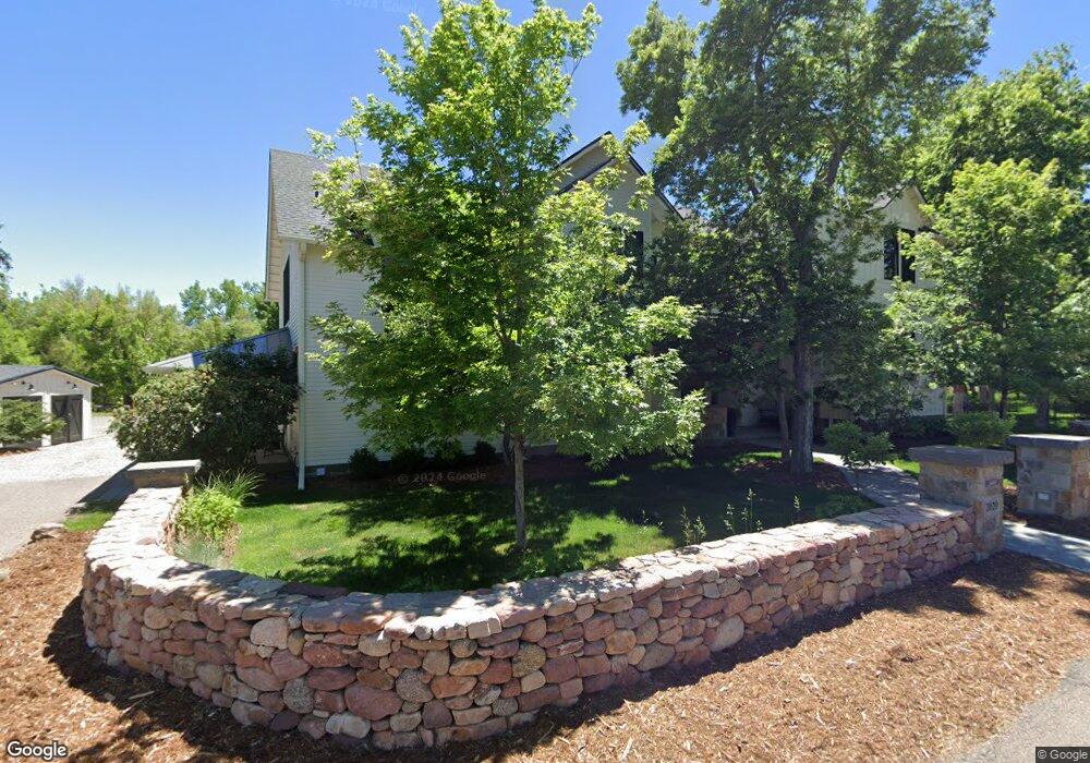
2020 Upland Ave Boulder, CO 80304
North Boulder NeighborhoodEstimated Value: $3,478,000 - $4,312,000
5
Beds
6
Baths
4,480
Sq Ft
$873/Sq Ft
Est. Value
About This Home
This home is located at 2020 Upland Ave, Boulder, CO 80304 and is currently estimated at $3,908,988, approximately $872 per square foot. 2020 Upland Ave is a home located in Boulder County with nearby schools including Crest View Elementary School, Centennial Middle School, and Boulder High School.
Ownership History
Date
Name
Owned For
Owner Type
Purchase Details
Closed on
Apr 5, 2021
Sold by
The Boston Williams Revocable Trust
Bought by
Fmtr Dustin K Finer Mayssan Finer
Current Estimated Value
Home Financials for this Owner
Home Financials are based on the most recent Mortgage that was taken out on this home.
Original Mortgage
$1,950,000
Outstanding Balance
$1,757,773
Interest Rate
2.9%
Mortgage Type
New Conventional
Estimated Equity
$2,151,215
Purchase Details
Closed on
Oct 17, 2017
Sold by
Williams Floyd and Boston Kim
Bought by
The Boston Williams Revocable Trust
Purchase Details
Closed on
May 31, 2017
Sold by
Stark Ellen A and Hockmeyer Anne
Bought by
Williams Floyd
Create a Home Valuation Report for This Property
The Home Valuation Report is an in-depth analysis detailing your home's value as well as a comparison with similar homes in the area
Home Values in the Area
Average Home Value in this Area
Purchase History
We collect this data history from publicly available records. To have your information removed, we recommend requesting removal directly through your county’s website.
| Date | Buyer | Sale Price | Title Company |
|---|---|---|---|
| Fmtr Dustin K Finer Mayssan Finer | $3,250,000 | Land Title Guarantee Co | |
| The Boston Williams Revocable Trust | -- | None Available | |
| Williams Floyd | $880,000 | Land Title Guarantee Co |
Source: Public Records
Mortgage History
We collect this data history from publicly available records. To have your information removed, we recommend requesting removal directly through your county’s website.
| Date | Status | Borrower | Loan Amount |
|---|---|---|---|
| Open | Fmtr Dustin K Finer Mayssan Finer | $1,950,000 |
Source: Public Records
Tax History
| Year | Tax Paid | Tax Assessment Tax Assessment Total Assessment is a certain percentage of the fair market value that is determined by local assessors to be the total taxable value of land and additions on the property. | Land | Improvement |
|---|---|---|---|---|
| 2025 | $22,255 | $253,939 | $78,016 | $175,923 |
| 2024 | $23,672 | $233,400 | $71,706 | $161,694 |
| 2023 | $23,336 | $269,353 | $72,990 | $200,049 |
| 2022 | $16,675 | $178,761 | $59,179 | $119,582 |
| 2021 | $15,830 | $183,905 | $60,882 | $123,023 |
| 2020 | $11,675 | $134,127 | $55,413 | $78,714 |
| 2019 | $9,788 | $114,193 | $55,413 | $58,780 |
| 2018 | $8,272 | $95,410 | $95,410 | $0 |
Source: Public Records
Map
Nearby Homes
- 2093 Tamarack Ave
- 2158 Tamarack Ave
- 1952 Vine Ave
- 1800 Sumac Ave
- 2125 Vine Ave
- 2170 Vine Ave
- 2145 Vine Ave
- 1801 Redwood Ave
- 1885 Quince Ave
- 4165 17th St
- 1675 Upland Ave
- 4500 19th St Unit 289
- 4500 19th St Unit 643
- 4500 19th St Unit 33
- 4500 19th St Unit 178
- 1560 Sumac Ave
- 2541 Tamarack Ave
- 2090 Orchard Ave
- 2525 Topaz Dr
- 1695 Orchard Ave
- 2100 Tamarack Ave
- 4240 19th St
- 2130 Tamarack Ave
- 2125 Tamarack Ave
- 4220 19th St
- 4270 19th St
- 4198 19th St
- 1965 Riverside Ave
- 2010 Upland Ave
- 2090 Upland Ave
- 4184 19th St
- 2140 Tamarack Ave
- 4190 19th St
- 1987 Riverside Ave
- 2150 Tamarack Ave
- 2110 Upland Ave
- 4306 19th St
- 2141 Tamarack Ave
- 2015 Riverside Ln
- 1985 Sumac Place
Your Personal Tour Guide
Ask me questions while you tour the home.