Estimated Value: $339,000 - $454,000
4
Beds
2
Baths
1,886
Sq Ft
$205/Sq Ft
Est. Value
About This Home
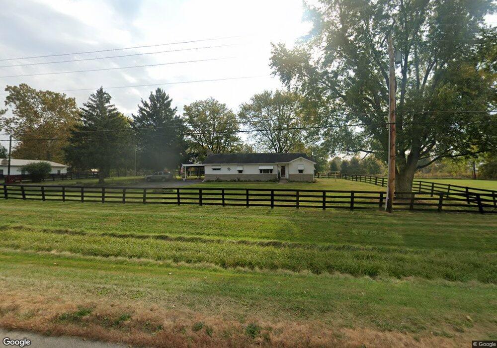
This home is located at 2020 Us Route 42 S, Xenia, OH 45385 and is currently estimated at $387,344, approximately $205 per square foot. 2020 Us Route 42 S is a home located in Greene County with nearby schools including Xenia High School and Summit Academy Community School for Alternative Learners - Xenia.
Ownership History
Date
Name
Owned For
Owner Type
Purchase Details
Closed on
Sep 30, 2015
Sold by
Wheeler Joe B
Bought by
Ferguson Richard C
Current Estimated Value
Home Financials for this Owner
Home Financials are based on the most recent Mortgage that was taken out on this home.
Original Mortgage
$211,105
Outstanding Balance
$166,039
Interest Rate
3.87%
Mortgage Type
FHA
Estimated Equity
$221,305
Purchase Details
Closed on
May 10, 2012
Sold by
Wheeler Joseph B and Wheeler Doris A
Bought by
Wheeler Joe B and Joe B Wheeler Revocable Living Trust
Create a Home Valuation Report for This Property
The Home Valuation Report is an in-depth analysis detailing your home's value as well as a comparison with similar homes in the area
Home Values in the Area
Average Home Value in this Area
Purchase History
| Date | Buyer | Sale Price | Title Company |
|---|---|---|---|
| Ferguson Richard C | $215,000 | Attorney | |
| Wheeler Joe B | -- | None Available |
Source: Public Records
Mortgage History
| Date | Status | Borrower | Loan Amount |
|---|---|---|---|
| Open | Ferguson Richard C | $211,105 |
Source: Public Records
Tax History Compared to Growth
Tax History
| Year | Tax Paid | Tax Assessment Tax Assessment Total Assessment is a certain percentage of the fair market value that is determined by local assessors to be the total taxable value of land and additions on the property. | Land | Improvement |
|---|---|---|---|---|
| 2024 | $4,011 | $89,970 | $29,270 | $60,700 |
| 2023 | $4,011 | $89,970 | $29,270 | $60,700 |
| 2022 | $3,675 | $72,150 | $27,440 | $44,710 |
| 2021 | $3,719 | $72,150 | $27,440 | $44,710 |
| 2020 | $3,408 | $72,150 | $27,440 | $44,710 |
| 2019 | $3,575 | $61,150 | $23,260 | $37,890 |
| 2018 | $3,527 | $61,150 | $23,260 | $37,890 |
| 2017 | $3,319 | $61,150 | $23,260 | $37,890 |
| 2016 | $3,319 | $58,740 | $22,560 | $36,180 |
| 2015 | $2,777 | $58,740 | $22,560 | $36,180 |
| 2014 | $2,664 | $58,740 | $22,560 | $36,180 |
Source: Public Records
Map
Nearby Homes
- 196 Mound St
- 1839 Simison Rd
- Chatham Plan at Edenbridge
- Bellamy Plan at Edenbridge
- Holcombe Plan at Edenbridge
- Henley Plan at Edenbridge
- Newcastle Plan at Edenbridge
- 1474 Hawkshead St
- 2821 Raxit Ct
- 1292 Baybury Ave
- 1272 Baybury Ave
- 1304 Baybury Ave
- 1256 Baybury Ave
- 1293 Baybury Ave
- 1298 Baybury Ave
- 1681 Valley Heights Rd
- 1358 Shannon Ln
- 1282 Baybury Ave
- 2784 Greystoke Dr
- 1318 Prem Place
- 2020 U S 42 S
- 2001 Us Route 42 S
- 2001 Us Route 42 S
- 1210 Richland Rd
- 1170 Richland Rd
- 0 Richland Rd Unit 784191
- 0 Richland Rd Unit 782563
- 0 Richland Rd Unit 396182
- 0 Richland Rd Unit Tr. 7 396180
- 0 Richland Rd Unit T.6-7 396178
- 0 Richland Rd Unit Tr. 4 396175
- 0 Richland Rd Unit Tr. 3 396172
- 0 Richland Rd Unit Tr. 2 396165
- 0 Richland Rd Unit Tr. 1 396159
- 4 Richland Rd
- 0 Richland Rd Unit 498326
- 2071 Richland Rd
- 1150 Richland Rd
- 1140 Richland Rd
- 1290 Richland Rd