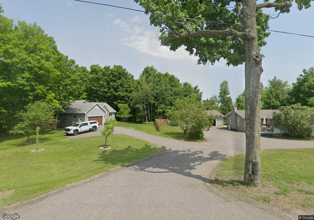
2020 W Grove St Marquette, MI 49855
Estimated Value: $323,641 - $430,000
--
Bed
--
Bath
1,412
Sq Ft
$277/Sq Ft
Est. Value
About This Home
This home is located at 2020 W Grove St, Marquette, MI 49855 and is currently estimated at $390,660, approximately $276 per square foot. 2020 W Grove St is a home located in Marquette County with nearby schools including Superior Hills Elementary School, Bothwell Middle School, and Marquette Senior High School.
Ownership History
Date
Name
Owned For
Owner Type
Purchase Details
Closed on
Apr 15, 2024
Sold by
Heritage Silos Development Llc
Bought by
Mccabe William C and Mccabe Heather F
Current Estimated Value
Purchase Details
Closed on
Jun 29, 2023
Sold by
Heritage Silos Development Llc
Bought by
Koski Scott W
Purchase Details
Closed on
Nov 17, 2022
Sold by
Koski Scott
Bought by
Koski Scott
Purchase Details
Closed on
Sep 3, 2020
Sold by
Noble Diane L
Bought by
Koski Scott
Home Financials for this Owner
Home Financials are based on the most recent Mortgage that was taken out on this home.
Original Mortgage
$242,250
Interest Rate
3%
Mortgage Type
New Conventional
Purchase Details
Closed on
Apr 27, 1994
Bought by
Wright Diane
Create a Home Valuation Report for This Property
The Home Valuation Report is an in-depth analysis detailing your home's value as well as a comparison with similar homes in the area
Home Values in the Area
Average Home Value in this Area
Purchase History
| Date | Buyer | Sale Price | Title Company |
|---|---|---|---|
| Mccabe William C | $100,000 | None Listed On Document | |
| Koski Scott W | $118,000 | None Listed On Document | |
| Koski Scott | -- | Marquette County Title | |
| Koski Scott | -- | Marquette County Title | |
| Heritage Silos Development Llc | -- | Marquette County Title | |
| Koski Scott | -- | Odea Nordeen Burink And Picken | |
| Wright Diane | $61,000 | -- |
Source: Public Records
Mortgage History
| Date | Status | Borrower | Loan Amount |
|---|---|---|---|
| Previous Owner | Koski Scott | $242,250 |
Source: Public Records
Tax History Compared to Growth
Tax History
| Year | Tax Paid | Tax Assessment Tax Assessment Total Assessment is a certain percentage of the fair market value that is determined by local assessors to be the total taxable value of land and additions on the property. | Land | Improvement |
|---|---|---|---|---|
| 2025 | $17 | $139,900 | $0 | $0 |
| 2024 | $17 | $134,600 | $0 | $0 |
| 2023 | $1,126 | $121,100 | $0 | $0 |
| 2022 | $3,066 | $103,800 | $0 | $0 |
| 2021 | $3,022 | $103,800 | $0 | $0 |
| 2020 | $2,099 | $103,800 | $0 | $0 |
| 2019 | $2,032 | $102,400 | $0 | $0 |
| 2018 | $1,967 | $99,900 | $0 | $0 |
| 2017 | $1,876 | $108,200 | $0 | $0 |
| 2016 | $1,847 | $106,900 | $0 | $0 |
| 2015 | -- | $106,900 | $0 | $0 |
| 2014 | -- | $100,600 | $0 | $0 |
| 2012 | -- | $95,700 | $0 | $0 |
Source: Public Records
Map
Nearby Homes
- 1908 Langford Dr
- 1917 Langford Dr
- 713 Grove St
- 1050 Vistanna Dr
- 1750 Harbour View Dr
- 737 Grove St
- 914 Wilson St
- 1301 Tierney St
- 2093 Orchard St
- 27 Oak Hill Dr
- 1932 Orchard St
- 1902 Orchard St
- 000 Michigan 553
- 301 Garfield Ave
- 590 Erie Ave
- 51 Oak Hill Dr
- TBD Grandview Dr Unit TBD Pioneer Road
- 1439 N Mc Clellan Ave
- 450 Mcmillan St
- 2001 Wilson St
- 2050 W Grove St
- 2025 W Grove St
- Lot 2 Langford Dr
- Lot 12 Langford Dr
- Lot 11 Langford Dr
- Lot 4 Langford Dr
- 2015 W Grove St
- Lot 8 Langford Dr
- Lot 10 Langford Dr
- 27 Grandview Cir
- 1975 W Grove St
- Lot 1 Langford Dr
- Lot 9 Langford Dr
- Lot 5 Langford Dr
- 2125 W Grove St
- 2125 W Grove St
- 2125 W Grove St
- 5 Grandview Cir
- 25 Grandview Cir
- 912 Horizons Dr Unit Lot 40