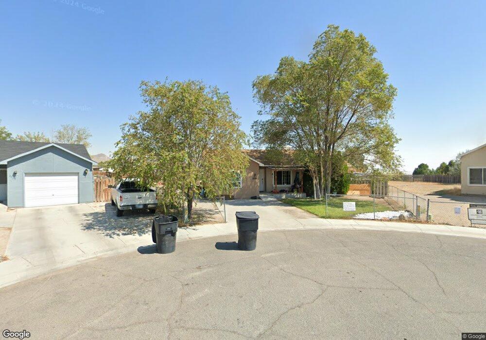
2020 W Shawnee Cir West Wendover, NV 89883
Estimated Value: $240,000 - $271,390
--
Bed
--
Bath
1,298
Sq Ft
$198/Sq Ft
Est. Value
About This Home
This home is located at 2020 W Shawnee Cir, West Wendover, NV 89883 and is currently estimated at $257,598, approximately $198 per square foot. 2020 W Shawnee Cir is a home with nearby schools including West Wendover Elementary School, West Wendover Junior High School, and West Wendover High School.
Ownership History
Date
Name
Owned For
Owner Type
Purchase Details
Closed on
Jun 8, 2019
Sold by
Dennin Stephen P and Dennin Angelica W
Bought by
Pacheco Yesenia and Pacheco Rolando
Current Estimated Value
Home Financials for this Owner
Home Financials are based on the most recent Mortgage that was taken out on this home.
Original Mortgage
$95,000
Outstanding Balance
$83,528
Interest Rate
4.1%
Mortgage Type
New Conventional
Estimated Equity
$174,070
Create a Home Valuation Report for This Property
The Home Valuation Report is an in-depth analysis detailing your home's value as well as a comparison with similar homes in the area
Home Values in the Area
Average Home Value in this Area
Purchase History
| Date | Buyer | Sale Price | Title Company |
|---|---|---|---|
| Pacheco Yesenia | $175,000 | Wfg National Title |
Source: Public Records
Mortgage History
| Date | Status | Borrower | Loan Amount |
|---|---|---|---|
| Open | Pacheco Yesenia | $95,000 |
Source: Public Records
Tax History Compared to Growth
Tax History
| Year | Tax Paid | Tax Assessment Tax Assessment Total Assessment is a certain percentage of the fair market value that is determined by local assessors to be the total taxable value of land and additions on the property. | Land | Improvement |
|---|---|---|---|---|
| 2025 | $1,948 | $47,576 | $9,450 | $38,126 |
| 2024 | $1,948 | $48,337 | $9,450 | $38,887 |
| 2023 | $1,787 | $45,981 | $9,450 | $36,531 |
| 2022 | $1,659 | $40,617 | $9,450 | $31,167 |
| 2021 | $1,623 | $39,071 | $9,450 | $29,621 |
| 2020 | $1,613 | $39,982 | $9,450 | $30,532 |
| 2019 | $1,564 | $38,101 | $9,450 | $28,651 |
| 2018 | $1,496 | $38,368 | $9,450 | $28,918 |
| 2017 | $1,458 | $38,025 | $9,450 | $28,575 |
| 2016 | $1,421 | $36,702 | $9,450 | $27,252 |
| 2015 | $1,385 | $36,394 | $9,450 | $26,944 |
| 2014 | $1,350 | $35,263 | $9,450 | $25,813 |
Source: Public Records
Map
Nearby Homes
- 901 Alpine St
- 0 Pueblo Blvd Unit 11071957
- 0 N Butte St
- 1890 Pueblo Blvd
- 0 Wendover Blvd
- 2911 Winged Foot Ct
- 2947 Sawgrass Ct
- 180 N Wildcat Blvd
- 576 N Vista Dr
- 590 Pilot St
- 250 8th St
- 0 Unit 3626617
- 0 Unit 3626616
- 0 Blm 1578 Rd Unit 3626010
- 0 Unit 3626136
- Country Rd Unit Mountain Meadows Ran
- 0 075-006-073 Sec19 Twp36n Rge69e Unit 3626489
- 401 Quaking Aspen Rd
- 0 Pine Cone Dr Unit 220015980
- 0 Pilot Valley Rd Unit 3626278
- 2028 W Shawnee Cir
- 2033 Shawnee Cir
- 2050 W Shawnee Cir
- 2065 W Shawnee Cir
- 1987 Gold St
- 1973 Gold St
- 1993 Gold St
- 2070 W Shawnee Cir
- 2075 W Shawnee Cir
- 1998 W Canyon St
- 1986 W Canyon St
- 2006 W Canyon St
- 1985 Butte St
- 1967 Gold St
- 1964 Gold St
- 1999 Butte St
- 2086 W Shawnee Cir
- 2014 W Canyon St
- 1974 W Canyon St
- 2095 W Shawnee Cir