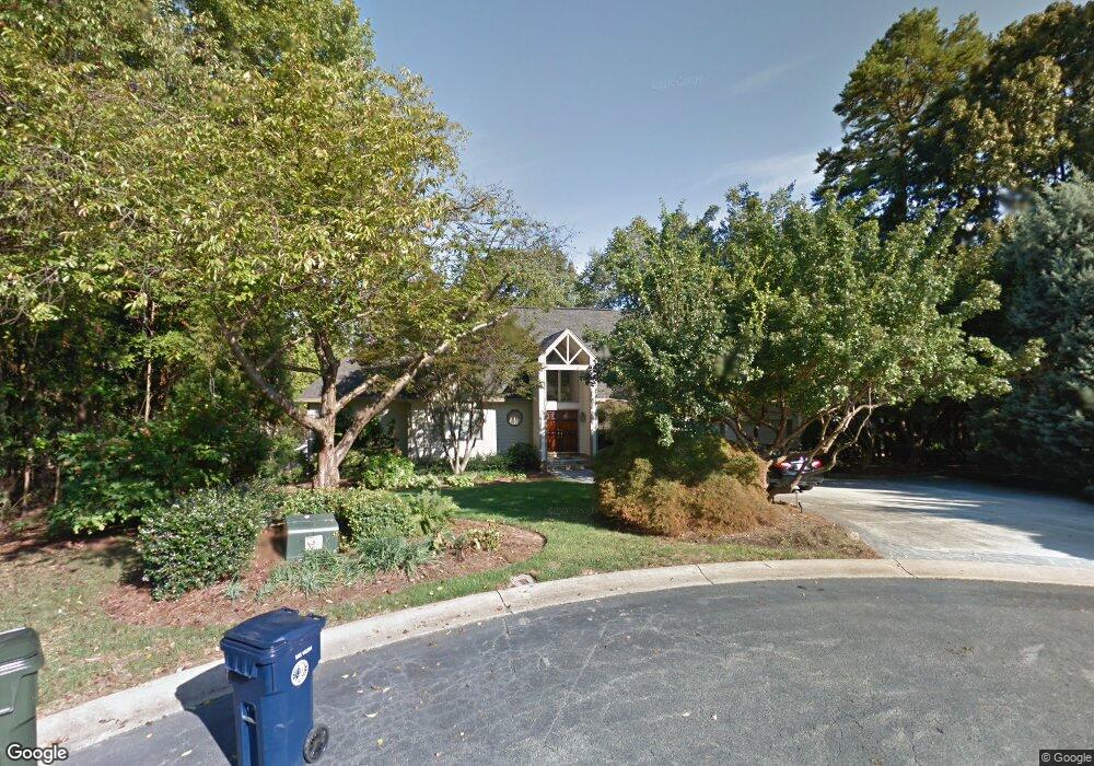
20200 Sloop Ct Cornelius, NC 28031
Estimated Value: $1,455,000 - $1,984,000
4
Beds
4
Baths
3,500
Sq Ft
$487/Sq Ft
Est. Value
About This Home
This home is located at 20200 Sloop Ct, Cornelius, NC 28031 and is currently estimated at $1,705,492, approximately $487 per square foot. 20200 Sloop Ct is a home located in Mecklenburg County with nearby schools including Cornelius Elementary School, Bailey Middle School, and William Amos Hough High School.
Ownership History
Date
Name
Owned For
Owner Type
Purchase Details
Closed on
Mar 15, 2010
Sold by
Branson Real Estate Management Llc
Bought by
Branson Philip and Branson Cynthia
Current Estimated Value
Home Financials for this Owner
Home Financials are based on the most recent Mortgage that was taken out on this home.
Original Mortgage
$391,400
Interest Rate
4.93%
Mortgage Type
New Conventional
Purchase Details
Closed on
Oct 9, 2008
Sold by
Branson Philip and Branson Cynthia
Bought by
Branson Real Estate Management Llc
Home Financials for this Owner
Home Financials are based on the most recent Mortgage that was taken out on this home.
Original Mortgage
$417,000
Interest Rate
5.95%
Mortgage Type
Purchase Money Mortgage
Create a Home Valuation Report for This Property
The Home Valuation Report is an in-depth analysis detailing your home's value as well as a comparison with similar homes in the area
Home Values in the Area
Average Home Value in this Area
Purchase History
| Date | Buyer | Sale Price | Title Company |
|---|---|---|---|
| Branson Philip | -- | None Available | |
| Branson Real Estate Management Llc | -- | None Available | |
| Branson Philip | $920,000 | None Available |
Source: Public Records
Mortgage History
| Date | Status | Borrower | Loan Amount |
|---|---|---|---|
| Closed | Branson Philip | $391,400 | |
| Previous Owner | Branson Philip | $417,000 |
Source: Public Records
Tax History
| Year | Tax Paid | Tax Assessment Tax Assessment Total Assessment is a certain percentage of the fair market value that is determined by local assessors to be the total taxable value of land and additions on the property. | Land | Improvement |
|---|---|---|---|---|
| 2025 | -- | $1,318,700 | $675,000 | $643,700 |
| 2024 | -- | $1,318,700 | $675,000 | $643,700 |
| 2023 | $8,566 | $1,318,700 | $675,000 | $643,700 |
| 2022 | $7,048 | $840,100 | $450,000 | $390,100 |
| 2021 | $7,048 | $840,100 | $450,000 | $390,100 |
| 2020 | $7,048 | $840,100 | $450,000 | $390,100 |
| 2019 | $7,081 | $840,100 | $450,000 | $390,100 |
| 2018 | $7,188 | $664,100 | $350,000 | $314,100 |
| 2017 | $7,135 | $664,100 | $350,000 | $314,100 |
| 2016 | $7,131 | $664,100 | $350,000 | $314,100 |
| 2015 | $7,028 | $664,100 | $350,000 | $314,100 |
| 2014 | $7,026 | $664,100 | $350,000 | $314,100 |
Source: Public Records
Map
Nearby Homes
- 20221 Regatta Island Dr
- 20407 Harborgate Ct Unit 404
- 20407 Harborgate Ct Unit 408
- 20211 Tailwind Ln
- 20307 Southshore Dr
- 19934 Walter Henderson Rd
- 20114 Norman Colony Rd
- 20338 Christofle Dr
- 20314 Colony Point Ln
- 20609 Queensdale Dr
- 20332 Colony Point Ln
- 20224 Northport Dr
- 21506 Rio Oro Dr
- 21510 Rio Oro Dr
- 20011 Chapel Point Ln
- 20320 Havenview Dr
- 20105 Chapel Point Ln
- 20517 Queensdale Dr
- 21600 Rio Oro Dr Unit 45
- 20711 Bethel Church Rd
- 20201 Sloop Ct
- 20208 Sloop Ct
- 20347 Harborgate Ct Unit 105
- 20347 Harborgate Ct Unit 104
- 20347 Harborgate Ct Unit 103
- 20347 Harborgate Ct Unit 106
- 20347 Harborgate Ct Unit 102
- 20347 Harborgate Ct Unit 101
- Lot 6a Sloop Ct
- LOT 2 Sloop Ct Unit LOT 2
- 20214 Sloop Ct
- 20214 Sloop Ct Unit 5
- Lot 7 Sloop Ct Unit LOT 7
- Lot 5 Sloop Ct Unit Lot 5
- Lot 5 Sloop Ct Unit 5
- 20211 Sloop Ct
- 20224 Sloop Ct
- 20224 Sloop Ct Unit 6
- Lot 6 Sloop Ct Unit Lot 6
- Lot 6 Sloop Ct Unit 6
Your Personal Tour Guide
Ask me questions while you tour the home.