Estimated Value: $123,000 - $285,000
--
Bed
1
Bath
760
Sq Ft
$259/Sq Ft
Est. Value
About This Home
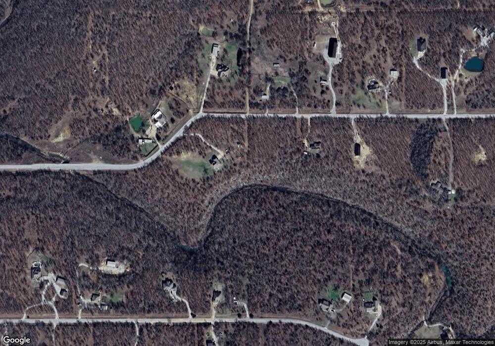
This home is located at 20201 S 151st East Ave, Bixby, OK 74008 and is currently estimated at $196,903, approximately $259 per square foot. 20201 S 151st East Ave is a home located in Wagoner County with nearby schools including Central Elementary School, Bixby Central Intermediate School, and Bixby Middle School.
Ownership History
Date
Name
Owned For
Owner Type
Purchase Details
Closed on
Apr 28, 2008
Sold by
Vanzandt William and Vanzandt Tina
Bought by
Waldroop Michael A
Current Estimated Value
Home Financials for this Owner
Home Financials are based on the most recent Mortgage that was taken out on this home.
Original Mortgage
$54,332
Outstanding Balance
$34,183
Interest Rate
5.84%
Mortgage Type
Purchase Money Mortgage
Estimated Equity
$162,720
Purchase Details
Closed on
Aug 8, 2000
Sold by
Landreth Johnie L
Purchase Details
Closed on
Nov 24, 1999
Sold by
Scott Calvin A and Robyn Dee
Purchase Details
Closed on
May 11, 1993
Sold by
Harris Raymond D
Purchase Details
Closed on
Feb 25, 1909
Sold by
Landreth Johnie L
Create a Home Valuation Report for This Property
The Home Valuation Report is an in-depth analysis detailing your home's value as well as a comparison with similar homes in the area
Home Values in the Area
Average Home Value in this Area
Purchase History
| Date | Buyer | Sale Price | Title Company |
|---|---|---|---|
| Waldroop Michael A | $50,500 | Buffalo Land Closing Dept | |
| -- | $25,300 | -- | |
| -- | -- | -- | |
| -- | -- | -- | |
| -- | $24,500 | -- |
Source: Public Records
Mortgage History
| Date | Status | Borrower | Loan Amount |
|---|---|---|---|
| Open | Waldroop Michael A | $54,332 |
Source: Public Records
Tax History Compared to Growth
Tax History
| Year | Tax Paid | Tax Assessment Tax Assessment Total Assessment is a certain percentage of the fair market value that is determined by local assessors to be the total taxable value of land and additions on the property. | Land | Improvement |
|---|---|---|---|---|
| 2025 | $847 | $7,887 | $3,768 | $4,119 |
| 2024 | $847 | $7,657 | $3,658 | $3,999 |
| 2023 | $819 | $7,436 | $3,557 | $3,879 |
| 2022 | $792 | $7,218 | $3,448 | $3,770 |
| 2021 | $709 | $7,008 | $3,328 | $3,680 |
| 2020 | $690 | $6,804 | $3,208 | $3,596 |
| 2019 | $673 | $6,606 | $3,016 | $3,590 |
| 2018 | $643 | $6,414 | $2,824 | $3,590 |
| 2017 | $619 | $6,227 | $2,629 | $3,598 |
| 2016 | $502 | $6,046 | $2,533 | $3,513 |
| 2015 | $495 | $5,870 | $2,384 | $3,486 |
| 2014 | $482 | $5,699 | $2,240 | $3,459 |
Source: Public Records
Map
Nearby Homes
- 14250 E 202nd St S
- 151 S E Ave S
- 14500 E 202nd St S
- S 145th East Ave
- 19682 S 145th Ave E
- 0 S 145th Ave Unit 2524079
- 10 E 205th St S
- 14215 E 208th St S
- 20137 S 137th East Ave
- 20101 S 137th East Ave
- N320 Road
- 0 154th East Ave
- 18342 S 132nd East Ave
- 0 East Ave Unit 2524879
- 18235 S 129th East Ave
- 12920 E 183rd St S
- 17104 S 129th East Ave
- 19638 S Garnett Rd
- 15291 E 181st St S
- 18401 S 129th Ave E
- 15125 E 202nd St S
- 20348 S 151st East Ave
- 0 E 202nd St S
- 14581 E 202nd St S
- 20351 S 151st East Ave
- 0 S 151st Ave Unit 1531982
- 0 S 151st Ave Unit 1806338
- 0 S 151st Ave Unit 1812733
- 0 S 151st Ave Unit 1832112
- 0 S 151st Ave Unit 1832116
- 0 S 151st Ave Unit 1837924
- 0 S 151st Ave Unit 1842493
- 0 S 151st Ave Unit 1917803
- 0 S 151st Ave Unit 1933911
- 14551 E 202nd St S
- 20355 S 151st East Ave
- 14521 E 202nd St S
- 0 202nd Ave Unit 2013587
- 20359 S 151st East Ave
- 0 E 205 St S Unit 2332778
