2021 Beattie Rd Albany, GA 31721
Estimated Value: $346,000 - $539,864
4
Beds
4
Baths
3,771
Sq Ft
$115/Sq Ft
Est. Value
About This Home
This home is located at 2021 Beattie Rd, Albany, GA 31721 and is currently estimated at $433,466, approximately $114 per square foot. 2021 Beattie Rd is a home located in Dougherty County with nearby schools including Live Oak Elementary School, Merry Acres Middle School, and Westover High School.
Ownership History
Date
Name
Owned For
Owner Type
Purchase Details
Closed on
Sep 24, 2003
Sold by
Woodall Paula P
Bought by
Woodall E Wright
Current Estimated Value
Purchase Details
Closed on
Jan 26, 1996
Sold by
Woodall E Wright
Bought by
Woodall Paula P
Purchase Details
Closed on
Nov 10, 1995
Sold by
Woodall Charles M
Bought by
Woodall E Wright
Purchase Details
Closed on
Apr 12, 1988
Sold by
Maxxus Inc
Bought by
Woodall Charles M
Create a Home Valuation Report for This Property
The Home Valuation Report is an in-depth analysis detailing your home's value as well as a comparison with similar homes in the area
Home Values in the Area
Average Home Value in this Area
Purchase History
| Date | Buyer | Sale Price | Title Company |
|---|---|---|---|
| Woodall E Wright | -- | -- | |
| Woodall Paula P | -- | -- | |
| Woodall E Wright | $41,000 | -- | |
| Woodall Charles M | $40,000 | -- |
Source: Public Records
Tax History Compared to Growth
Tax History
| Year | Tax Paid | Tax Assessment Tax Assessment Total Assessment is a certain percentage of the fair market value that is determined by local assessors to be the total taxable value of land and additions on the property. | Land | Improvement |
|---|---|---|---|---|
| 2024 | $6,965 | $148,000 | $24,160 | $123,840 |
| 2023 | $5,964 | $148,000 | $24,160 | $123,840 |
| 2022 | $6,827 | $148,000 | $24,160 | $123,840 |
| 2021 | $6,330 | $148,000 | $24,160 | $123,840 |
| 2020 | $6,345 | $148,000 | $24,160 | $123,840 |
| 2019 | $6,369 | $148,000 | $24,160 | $123,840 |
| 2018 | $6,396 | $148,000 | $24,160 | $123,840 |
| 2017 | $5,958 | $148,000 | $24,160 | $123,840 |
| 2016 | $5,961 | $148,000 | $24,160 | $123,840 |
| 2015 | $5,978 | $148,000 | $24,160 | $123,840 |
| 2014 | $5,903 | $148,000 | $24,160 | $123,840 |
Source: Public Records
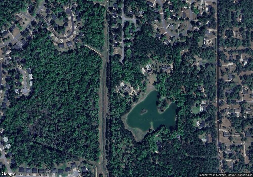
Map
Nearby Homes
- 2212 Arrowwood Dr
- 3422 Plantation Dr
- 2305 E Alberson Dr
- 2207 Vineyard Ct
- 2221 Bedford Ct
- 3424 Bellingham Ln
- 2303 Saddlebrook Ct
- 2421 E Alberson Dr
- 2202 Trowbridge Rd
- 2423 E Alberson Dr
- 2532 E Alberson Dr
- 2107 Cumberland Ln
- 2115 Cumberland Ln
- 2509 E Alberson Dr
- 1729 Dorchester Dr
- 1903 Devon Dr
- 3114 Westgate Dr
- 1720 Whisperwood St
- 3203 Wexford Dr
- 3013 Ember Ct
- 2019 Beattie Rd
- 3438 Plantation Dr
- 3439 Plantation Dr
- 3436 Plantation Dr
- 2017 Beattie Rd
- 3437 Plantation Dr
- 3434 Plantation Dr
- 3435 Plantation Dr
- 2013 Beattie Rd
- 3432 Plantation Dr
- 3402 Oakmont Ct
- 3433 Plantation Dr
- 2214 Arrowwood Dr
- 2214 Arrowhead Ln
- 2216 Arrowhead Ln
- 2216 Arrowwood Dr
- 2015 Beattie Rd
- 2212 Arrowhead Ln
- 2312 Jim Stokes Ct
- 3431 Plantation Dr